Ashyktaypak Depression: closer to the Arctic, hotter than the Tropics (1/3)

Intro: hot air, cold waters

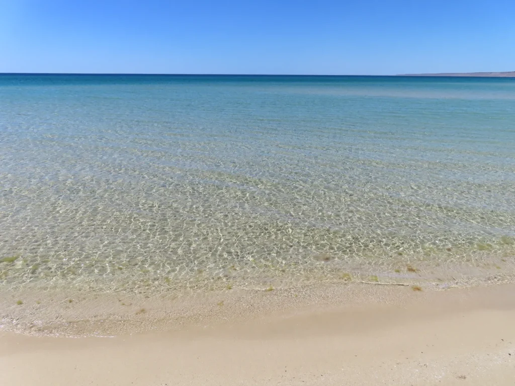
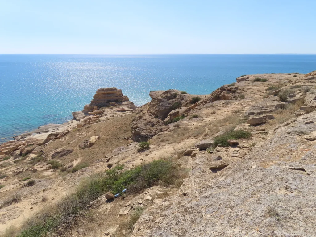
Contrary to its name, The Caspian Sea actually is a huge lake, the biggest in the entire world, by far. While an enclosed body of water and mostly surrounded by arid land, its salinity is quite low on average, especially in the northern part where the inflow of the mighty Volga river dilutes it significantly. The surface of the lake lies 29 meters below the sea level and is joined by an extensive sub-sea level land area known as the Caspian Depression. Some isolated parts of this geomorphologically atypical structure descends even more, reaching the minimum of -134 meters in the Karagiye Depression, the lowest place in Kazakhstan and 5th in the world.
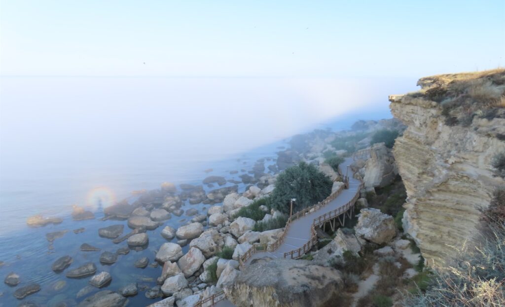
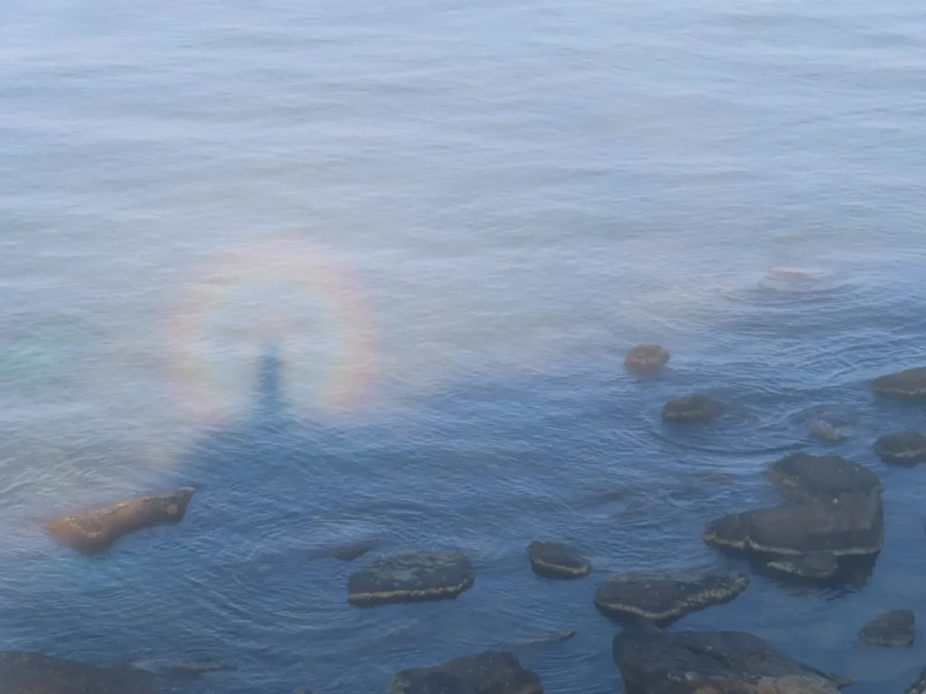
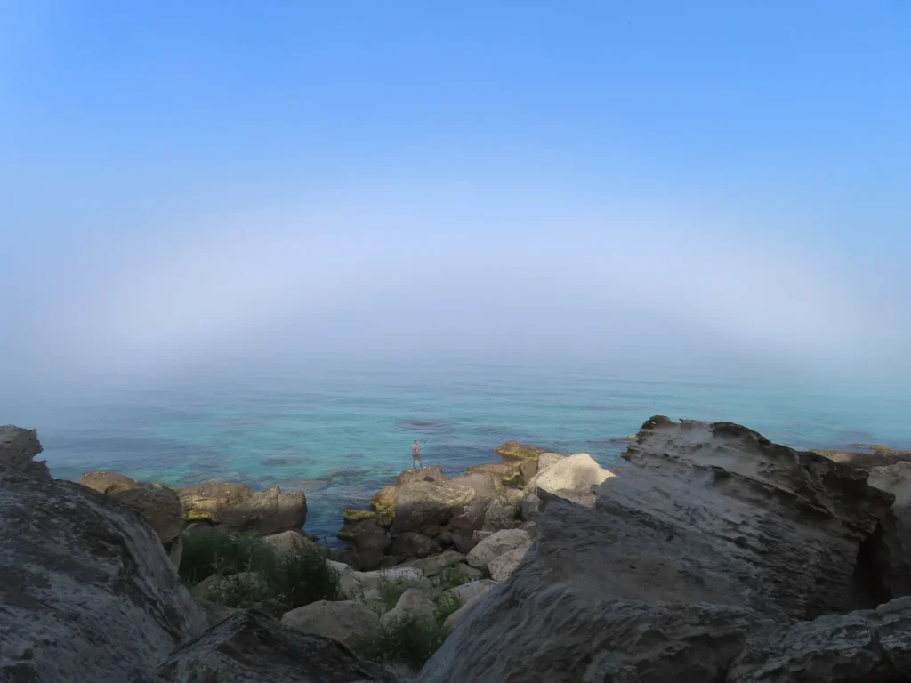
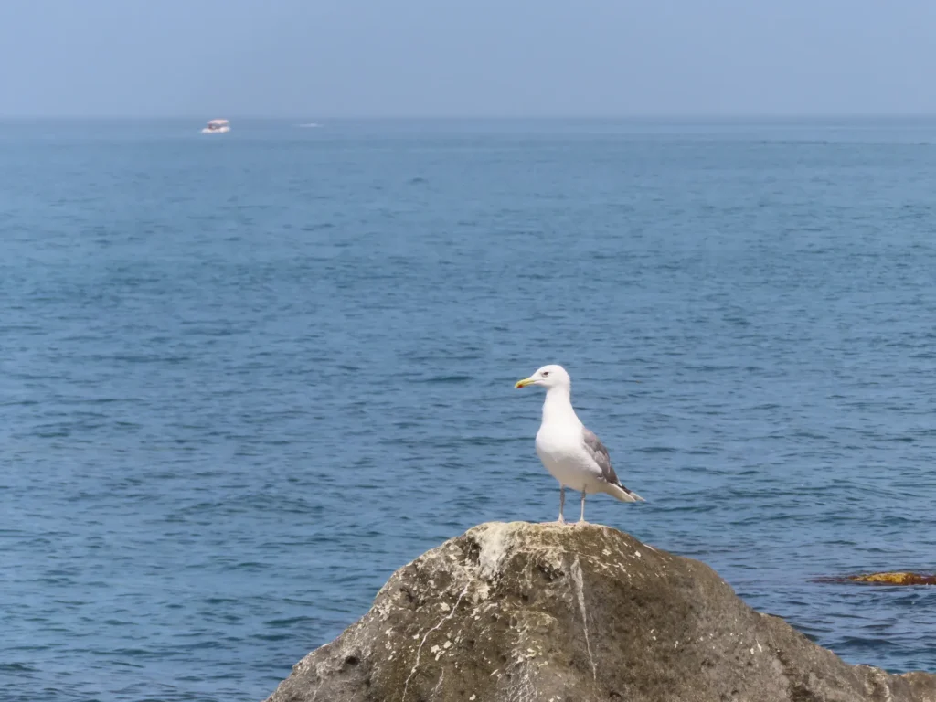
The Caspian coast with “glory” phenomenon formed on the thin fog layer caused by temperature contrast

The city of Aktau lies on its coast in the north-eastern sector and is the capital of Mangystau district in western Kazakhstan. With modest cultural background and more pragmatic in existence, it’s a typical post-soviet industrial agglomeration based on oil, which by the way is the primary resource of the entire province. Despite this it definitely has its own specific “soul”, which can be defined as something between starkness, surreal and patches of modernity. The people are mostly kazakh, but you can see many others with russian features too. The tourism is in development, still mostly internal.

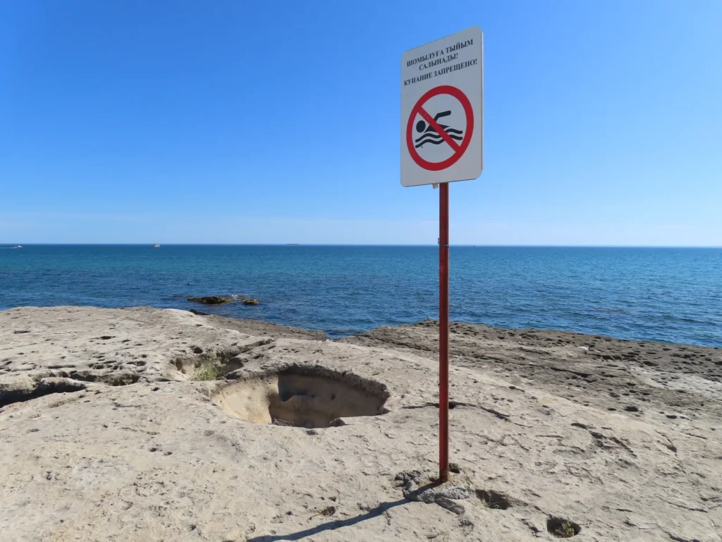
The climate of the fast growing medium sized (towards 300.000 inhabitants) port city is cold-semidesertic with mediterranean-like warm to hot, dry summers and moderately cold, also mostly dry winters with a few snowfall events annually. During the summer there is a characteristic, often shocking discrepancy between the hot desert air and the still much cooler seawater, which can sometimes exceed 20 degrees. In concrete details: air well above 30 degrees, seawater even below 10 degrees. The most likely explanation is cold upwelling caused by wind.

Choosing the target

I was always fascinated by the parts of the land situated below the sea level, firstly because of the unusual, “inverted-mountain” topological anomaly. Then – unsurprisingly – I also correlated those locations with the extreme desert heat, encountering during my early intellectual pursuits places like the Dead Sea, Death Valley, Danakil and the Turpan Depression. While the mentioned attraction is general, I am the most fascinated by the least known examples of this already peripheral branch. And here we are: I chose a depression so little known, that is concretely mentioned only on detailed soviet topographic maps in Cyrillic.
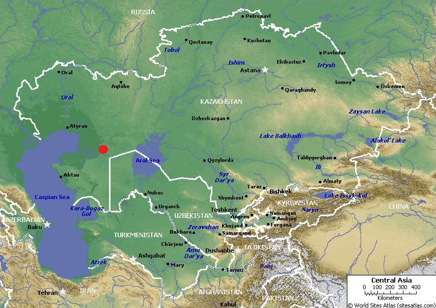
The location of the chosen place (red dot) in Central Asia

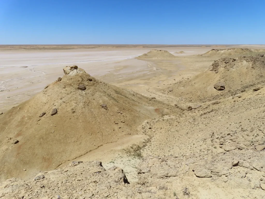
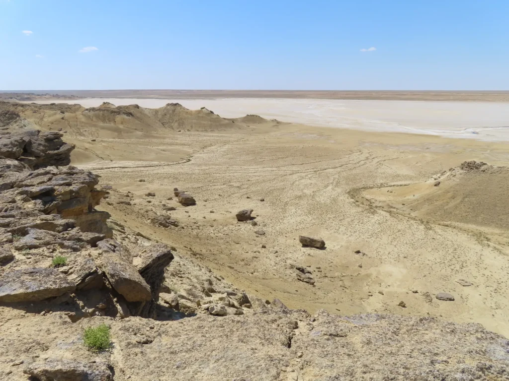
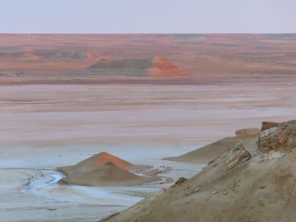
The name of the sunken basin is Ashyktaypak and it lies between the Caspian and Aral lakes at the foot of the northern Ustyurt Plateau, pretty far from civilization in every direction. The elevation of the salt flat lying on its bottom is -62 meters. Topographically and also genetically can be considered part of the bigger Caspian Depression, even if separated from it by a low ridge.

The closest inhabited place of considerable size is Beyneu, another fast-growing, oil based industrial settlement. While already well above 50.000 heads (some say 80.000) still maintained its old village status. Technically is the biggest village in Kazakhstan and is likely top-level even in the world chart. The raw geographical isolation is real, but the link with Aktau is decent, with daily connections both by railway and good, new asphalt road (470 km).
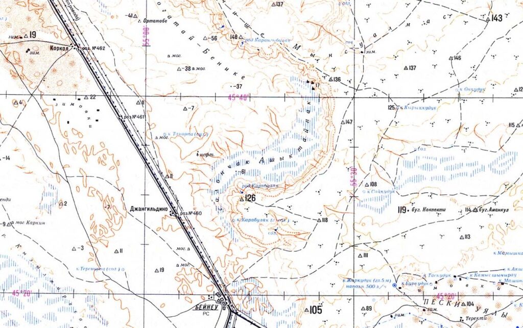
The Ashyktaypak Depression (center) as shown on the russian topo-map with Beyneu in the bottom part

Beyneu itself lies barely above the sea level, on that flat, low ridge separating the Caspian and the Aral Sea mentioned earlier. The low elevation combined with the huge distance from the moderating effect of the oceans is responsible for the fact that the area is unusually hot in the summer compared to the relatively high latitude. Concretely, it lies slightly above 45 N, which means it’s already closer to the North Pole than to the Equator.

And this was the very thing why I chose this exact place to be the location of this year’s research: it probably has the hottest summers between all places situated closer to the Arctic than to the Tropics. Northern heat? Something like that.

Translated to concrete numbers, Beyneu’s average maximum for July according to the available sources is around 35 centigrade, which is a solid base even in the hottest parts of Europe like Andalusia or the Peloponnese, both lying much more to the south, below 40 degrees latitude.
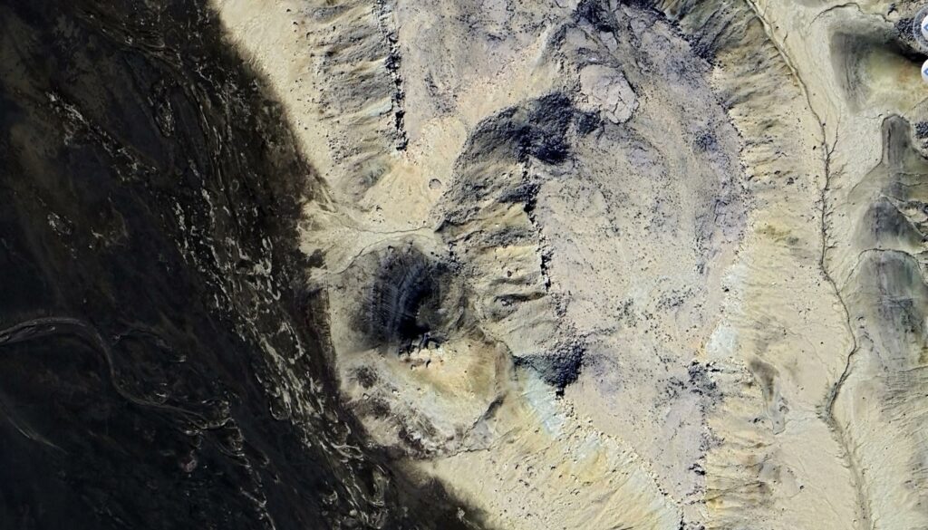
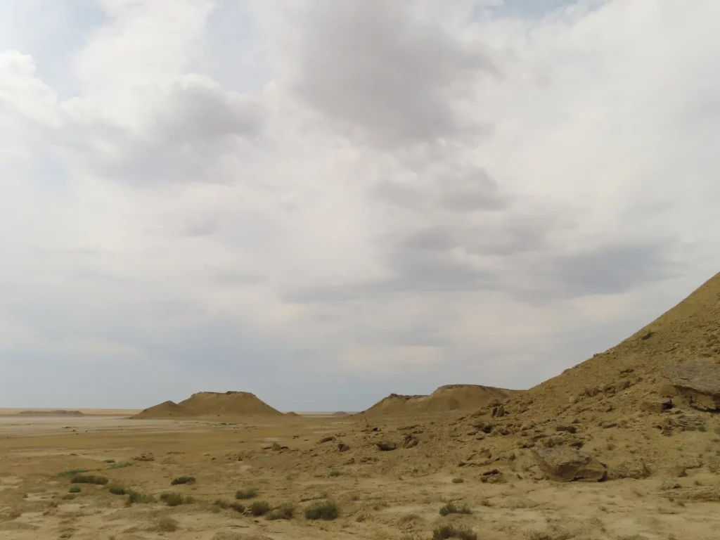
Aerial view of the selected amphitheatre-like enclosure (center)

It’s absolute record (46.6 degrees) also mirrors the mediterranean maximum potential and beats most places in the entire world too if calculated to similar geographical latitudes, with a few isolated exceptions like Lytton in SW Canada or Steele in North Dakota (both exceeding 49 centigrade). But while in the latter spots the extreme heat is a much rarer guest (July average max temps between 27-30 degrees), Beyneu’s typical summer vibe is clearly on the tropical side.

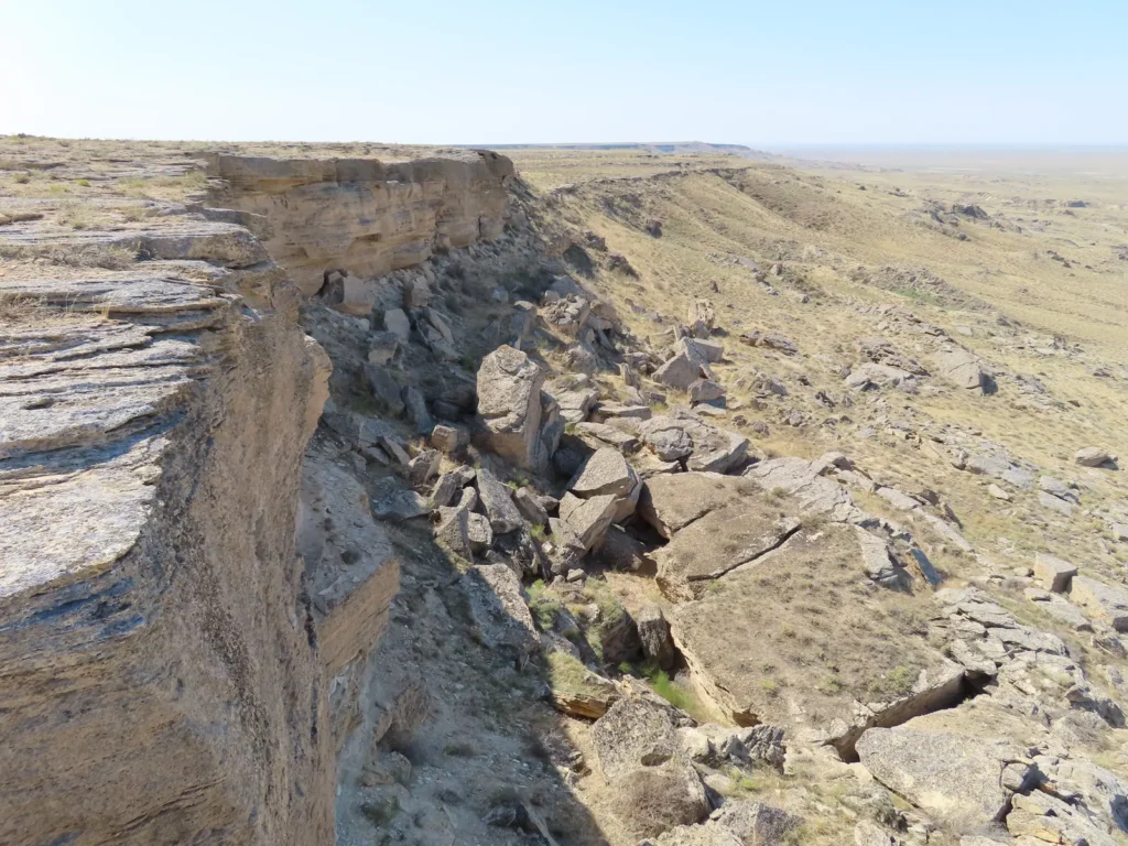
Regarding the more fine-tuned details, inside the endorheic basin I strategically chose a semi-enclosed topographical structure of smaller scale with westerly exposure with the purpose to capture and reflect the afternoon insolation even more. It’s basically situated at the foot of the northern Ustyurt, a desertic plateau of marine origin, formerly covered by the ancient Tethys and Paratethys seas.

Brief summary of the research

My flight landed in Aktau (via Istanbul) on 6th July in the late night. After a few days, during which I visited Saura oasis and the Golubaya bay on the Caspian coast north of the city, I moved to Beyneu by train, arriving there on 10th July in the morning. Already prepared, I instantly continued the journey by local minibus (marshrutka) to the nearby Sarga village, the closest settlement to my target.

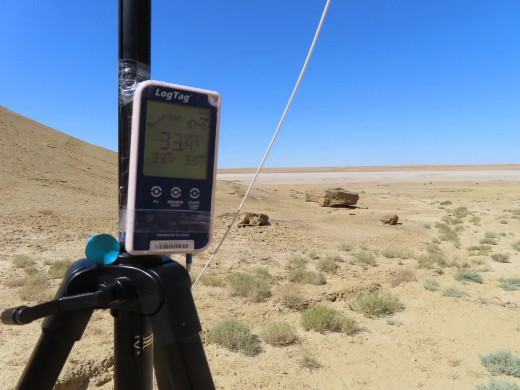
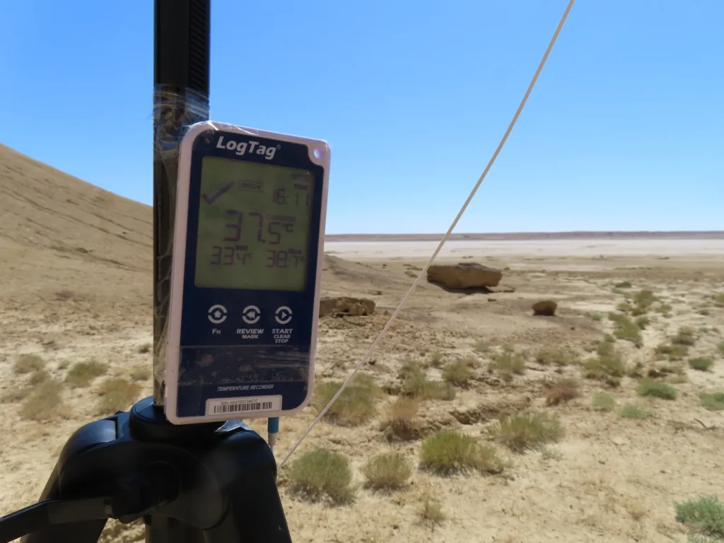
After a 10 km hike (around 2.5 hours) through the flat steppe, then the salt marsh, I reached the chosen location and soon installed the measuring equipment on the tripod. The logger started its operation at 10:46 AM showing 33.4 degrees as first reading.
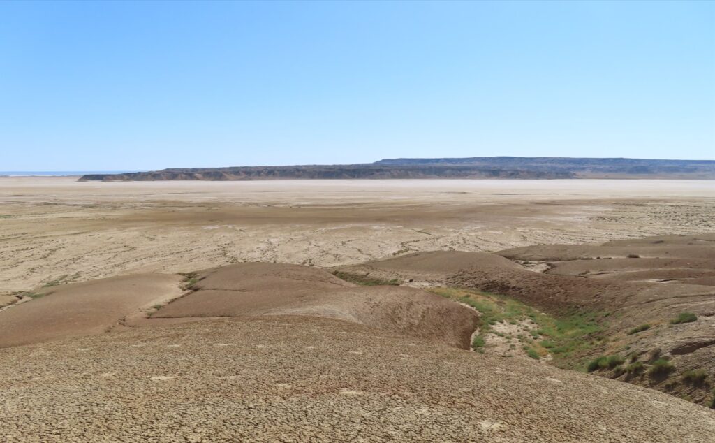
Descending towards the salt marsh with the Ustyurt Plateau in the background

The sky was completely clear and it will remain like this the entire day. I stayed near the instrumentation checking the temperature values on the screen multiple times during the afternoon as usual. The maximum of the day reached 38.8 degrees around 5 PM.

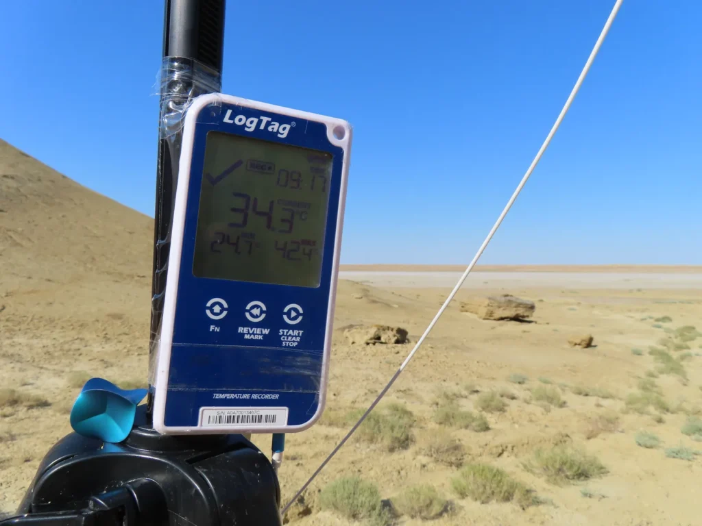
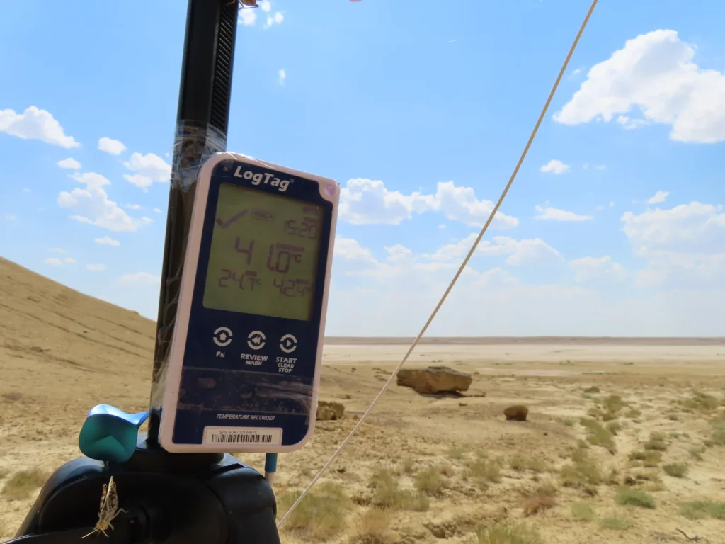
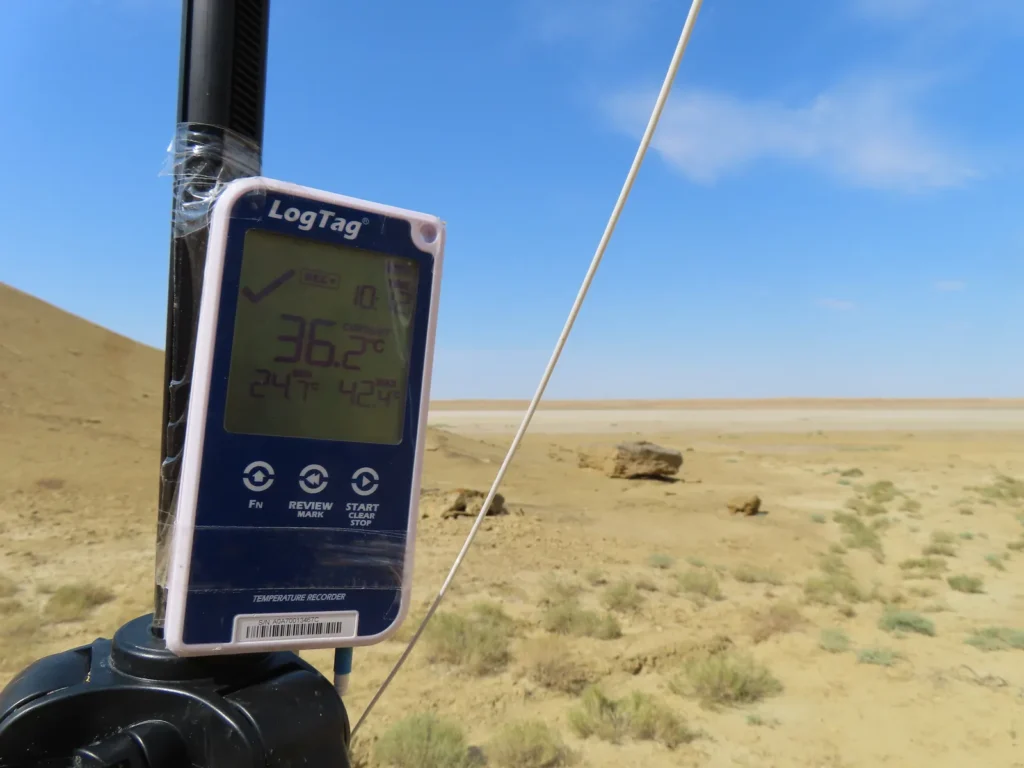
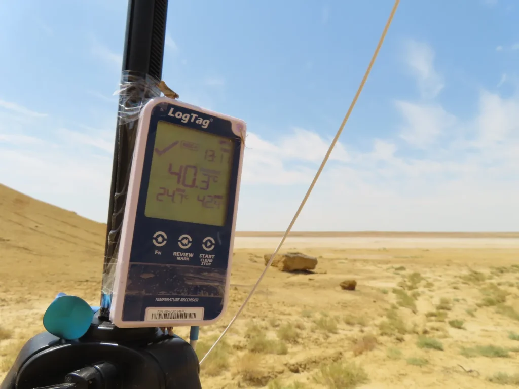
The next morning returned to Beyneu from where I came back for another field-trip on 13th July. Arriving at the camp I saw that on the previous day the temperature climbed to 42.4 degrees Celsius, which will remain the highest value of the entire research period. During this visit the daily max was 41.3 degrees (between 3-4 PM), while the sky became partially covered after 2 PM.
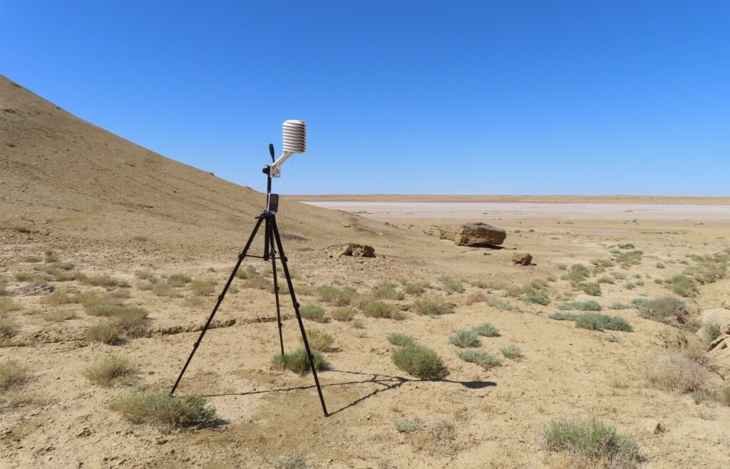
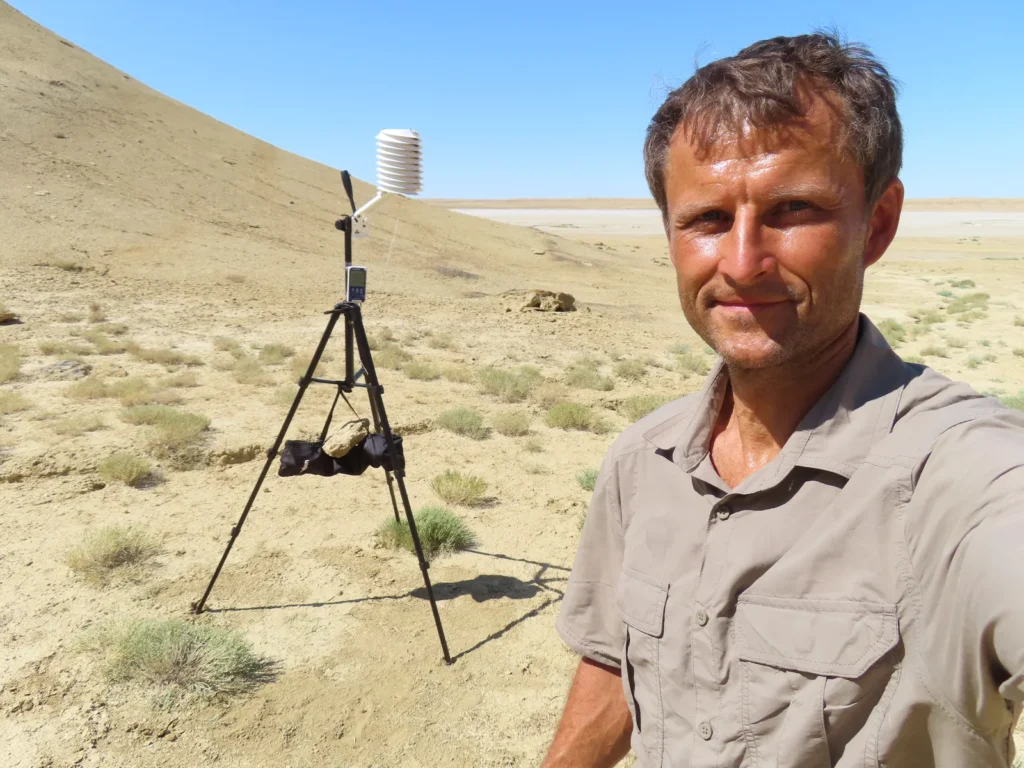
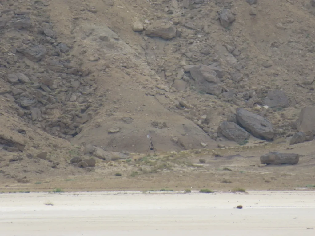
The weather station in the depression

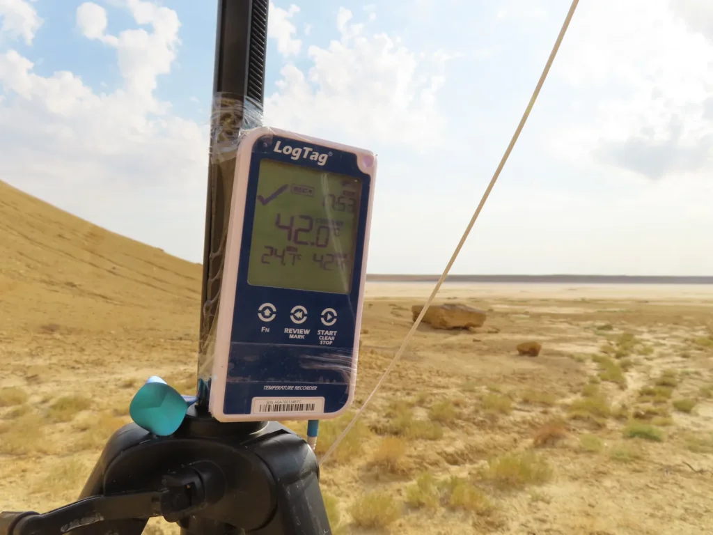
The third and last field-trip happened on 17th July, when I caught live 42.0 degrees around 6 PM, the hottest directly experienced weather during this expedition. Until around 1 PM it was full sunshine, then rapidly became cloudier, transforming into completely overcast in the mid-afternoon hours. Still the temperatures were maintained elevated with relatively small fluctuations even into the early evening hours.

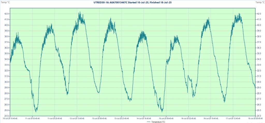
Generally it was quite hot during a significant part of the researched days, often even the evenings remained above the human body temperature. Five out of eight cases the temperature climbed over 40 degrees and two times over 42 degrees, while in the coolest morning dropped to 24.7 degrees Celsius. The sky was variable, typically clearer in the morning until noon and more cloudy in the hottest afternoon hours (convection). The wind was light to moderate.
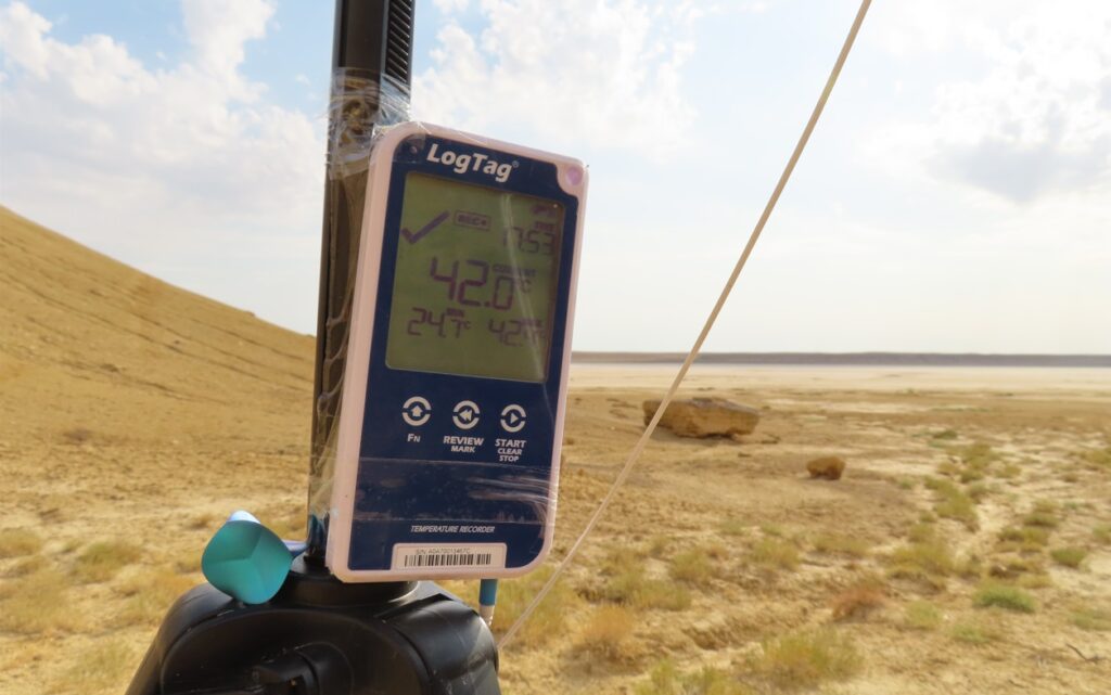
The highest temperature of the research was 42.4 degrees Celsius

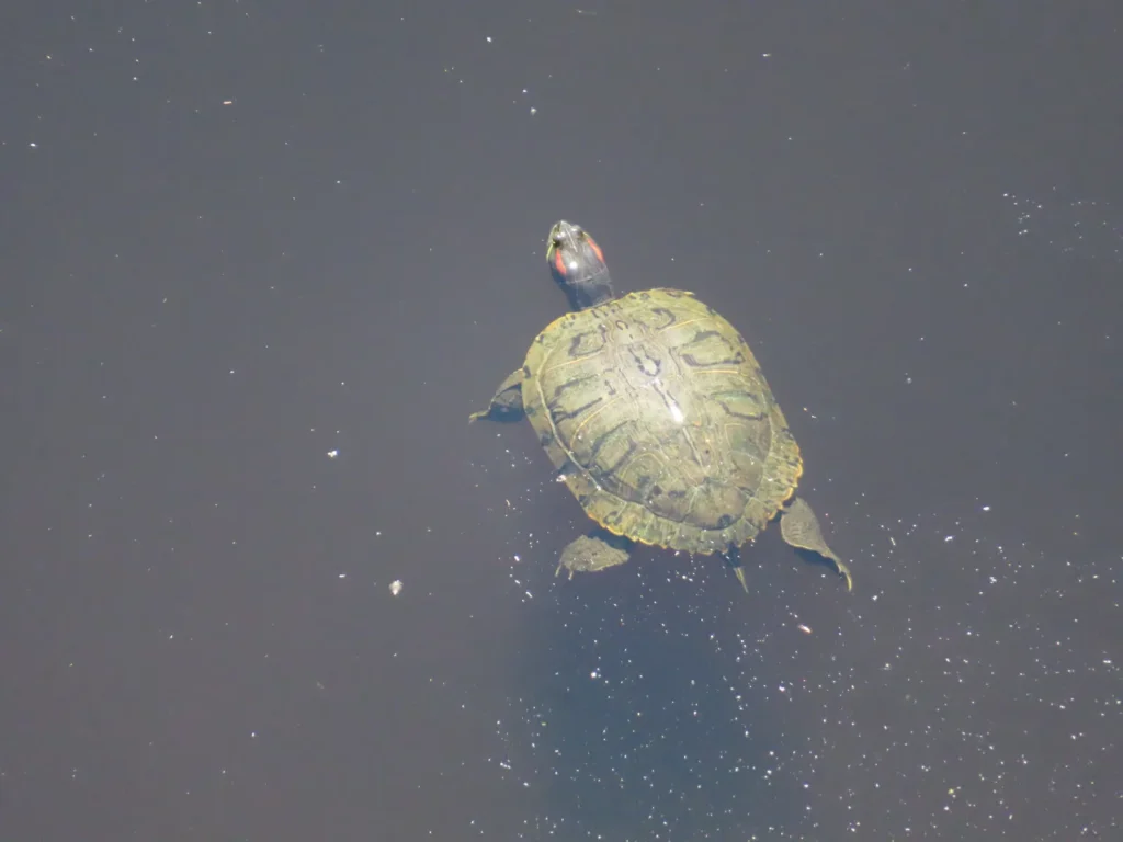
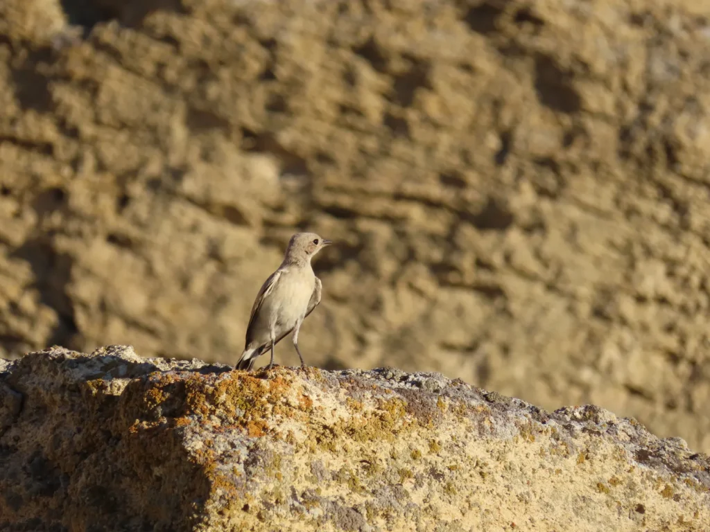
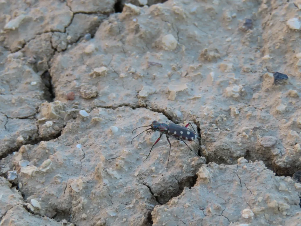
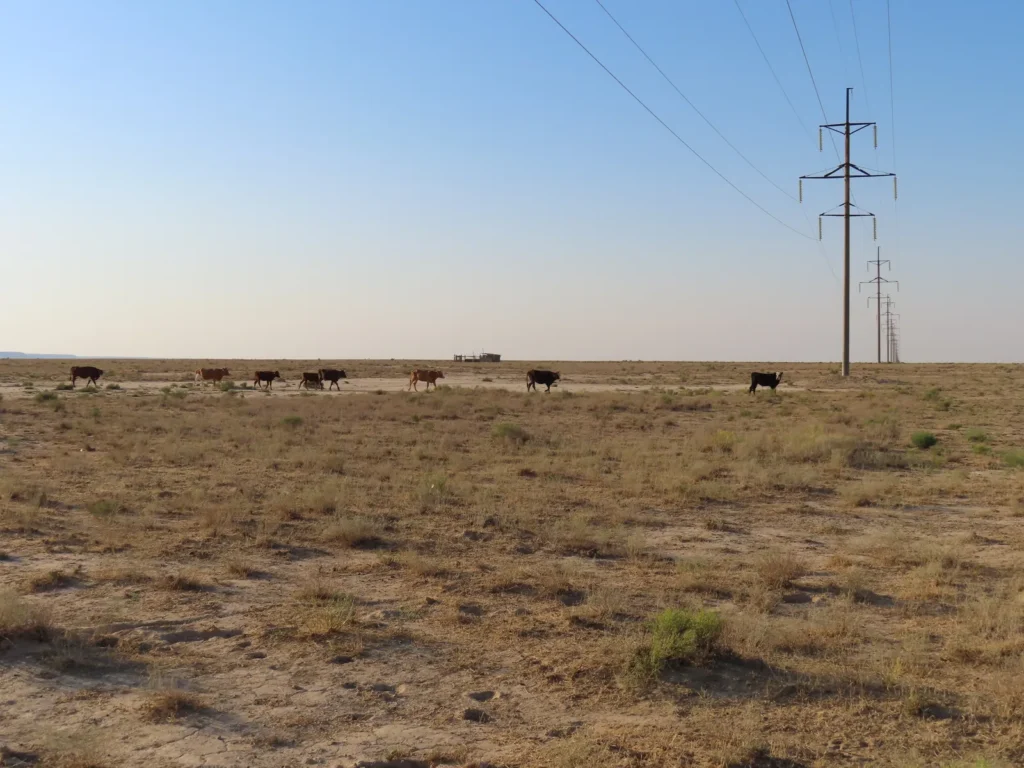
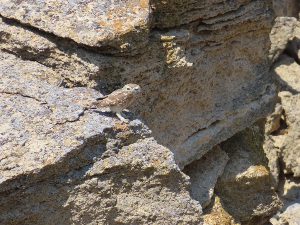
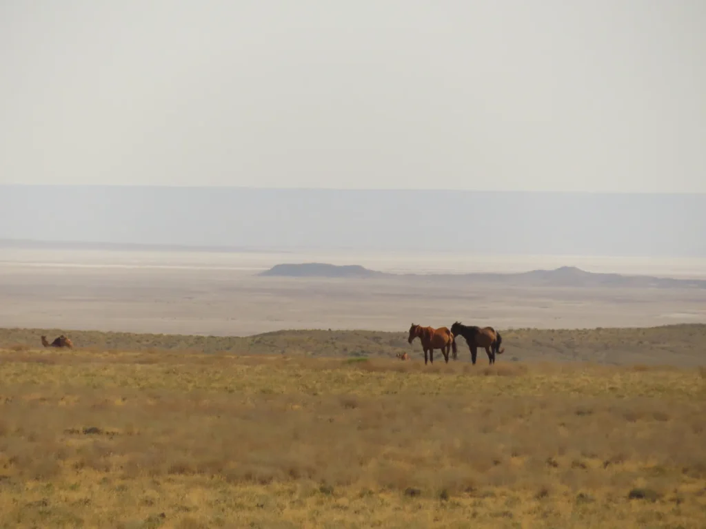
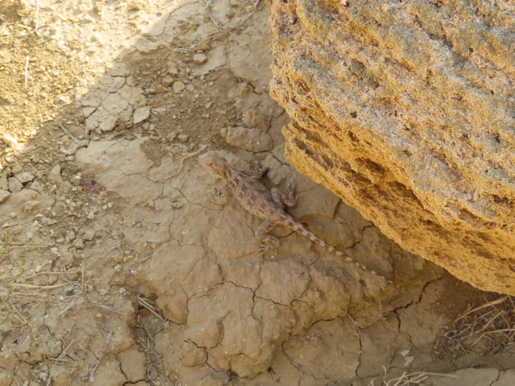
The depression itself always lacked any kind of human presence during my visits and this is likely a generality in the hot, dry summer period. Camels and horses grazed on the western side, while cattle and sheep a little closer to the village. Outside a few birds (small to medium size), insects (mostly grasshoppers) and a dead turtle I couldn’t spot any other wild animal in the whole perimeter.

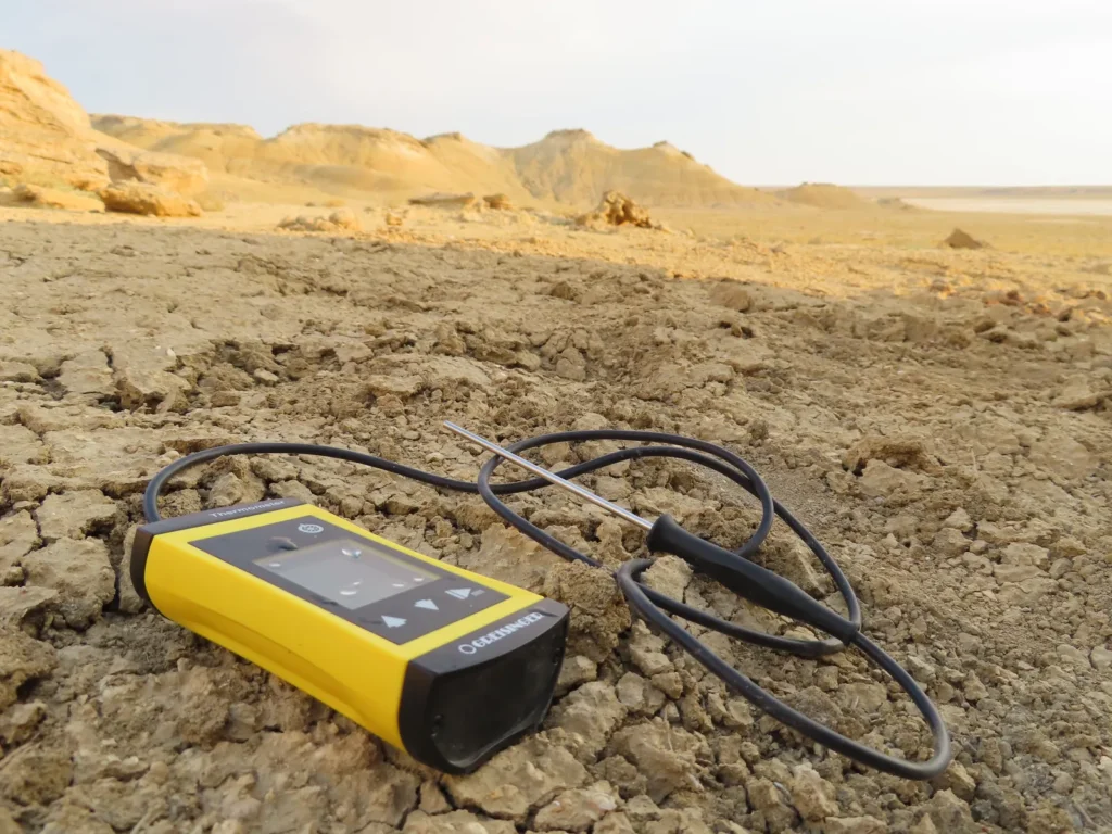
The instruments used in the field

-One LogTag UTRED30-16 data logger with the measuring range between -40 and +99 degrees Celsius, an accuracy of 0.5 degrees Celsius and a resolution of 0.1 degrees Celsius

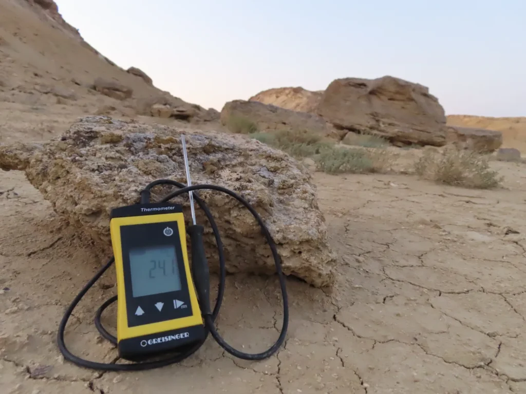
-One Greisinger G1710 thermometer with the measuring range between -70 and +250 degrees Celsius, an accuracy and resolution of 0.1 degrees, used for instant hand measurements

-One photo camera tripod serving as the support for the instruments

-One helical solar radiation shield from Barani Design Technologies: https://www.baranidesign.com/
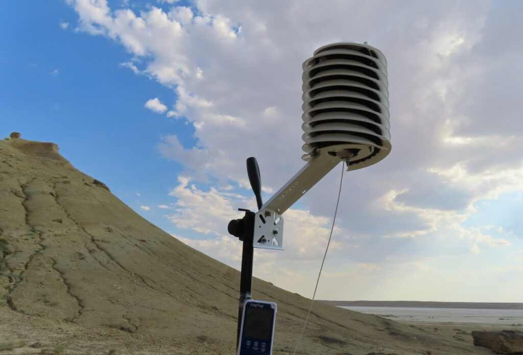
The helical shield in “rest mode” for the moment

To be continued…
Ashyktaypak Depression: closer to the Arctic, hotter than the Tropics (2/3)

Journey photo album

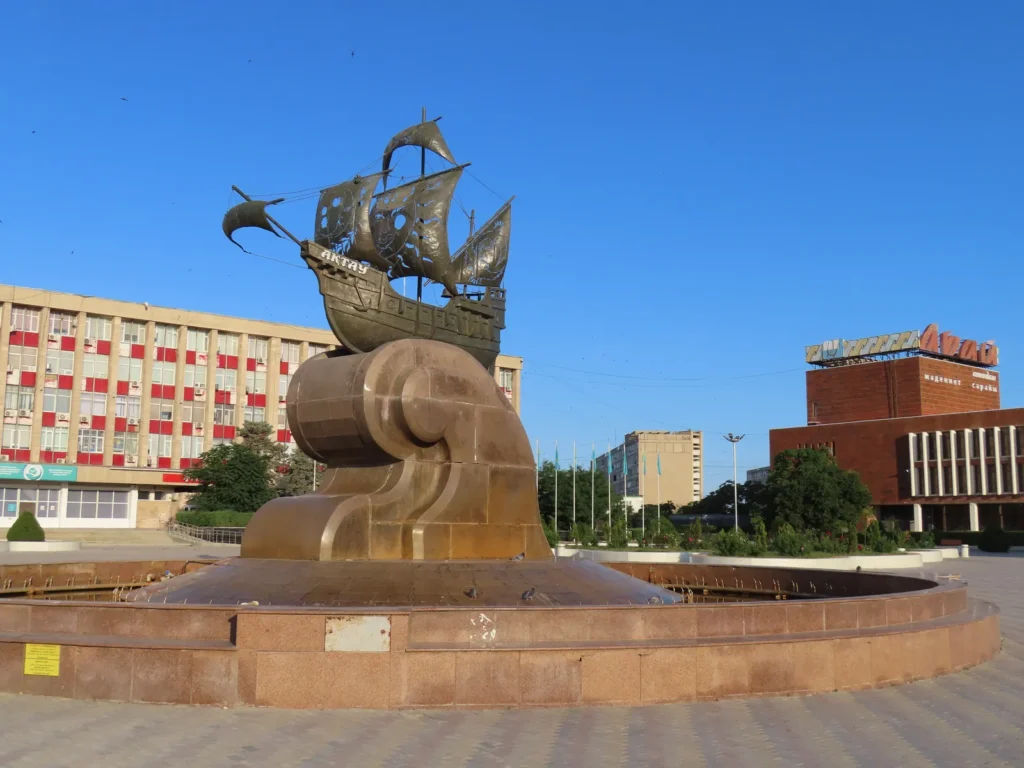
The ship monument in Aktau’s center: on 6th July the adventure begun
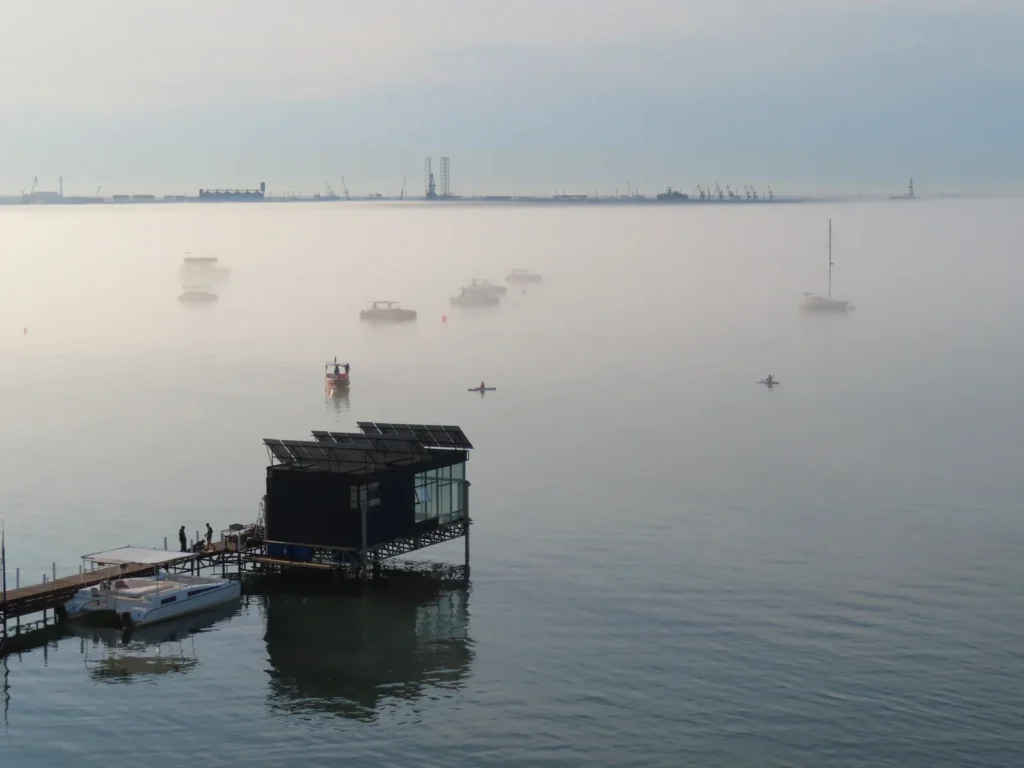
The sea was unusually cold for July, thus a thin layer of fog formed, boosting the atmosphere with a magical touch
Meteorological “glory” optical phenomenon: I wasn’t exaggerating with the words, was I?
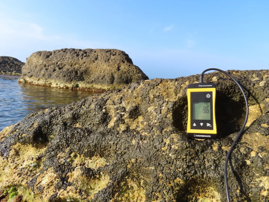
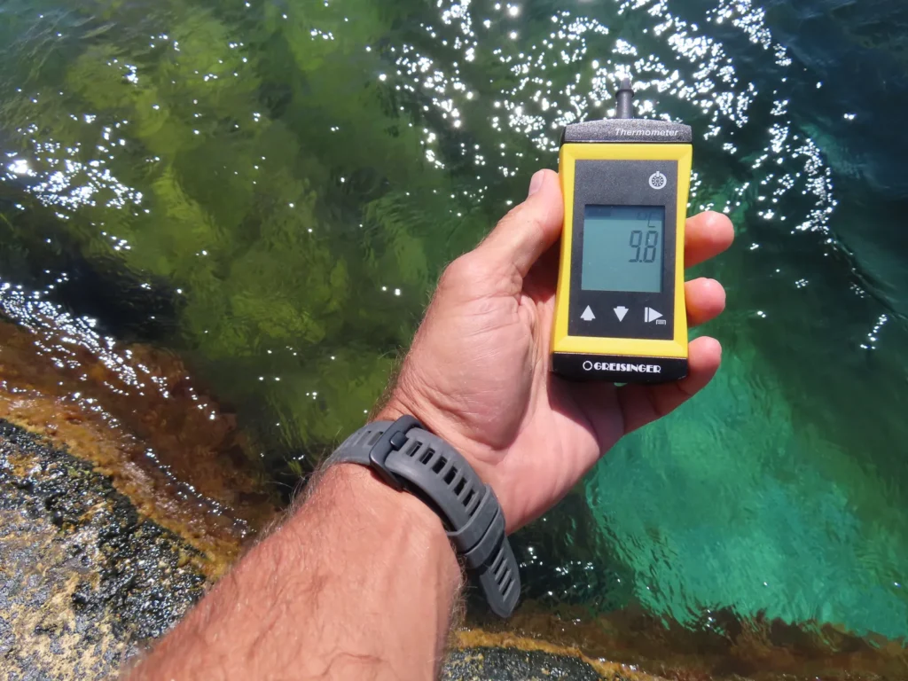
The same with the sea temperature: meanwhile the air was somewhere in the lower 30’s
Fog bow (or white rainbow): yes, there is such a thing
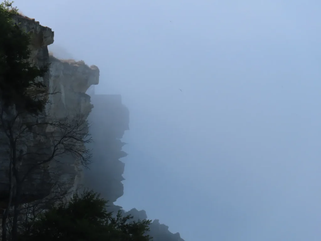
The coastal cliffs of Skalnaya Tropa in the mist
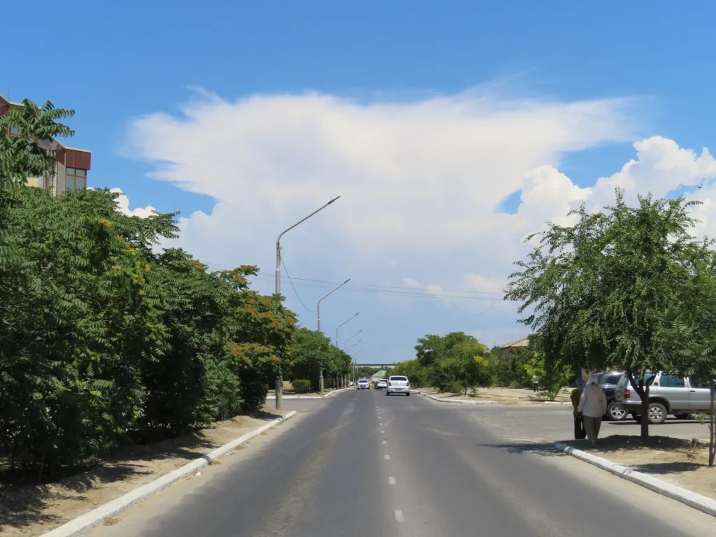
Cumulonimbus forming farther inland, could cool down the thirsty land here and there
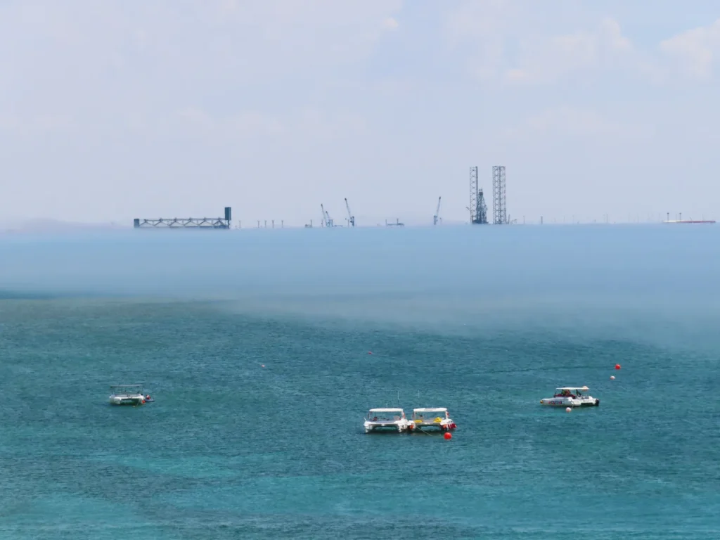
Later in the day the fog layer left the coast, showing pretty obvious boundary distribution
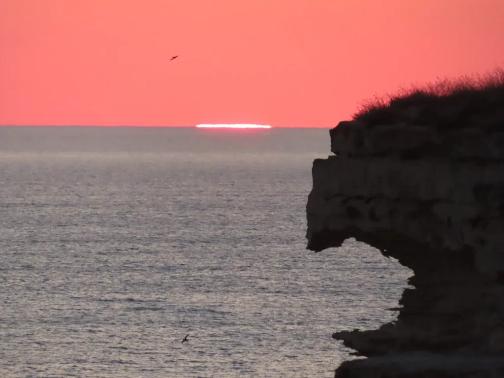
Another limit: I barely managed to catch the sunset from the top of the cliffs, but it was worth it
Smaller plan before the main one: on the way to Saura oasis
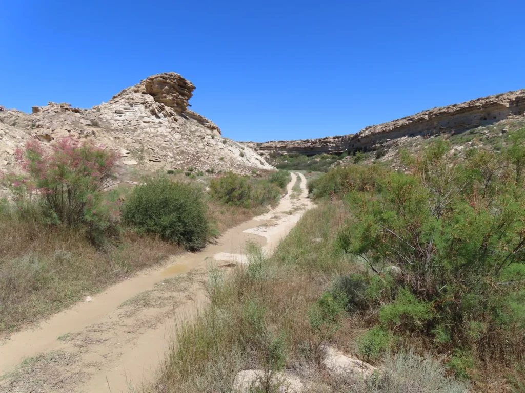
This small, coastal canon will likely take me to the target
Here we are. I mean here I am
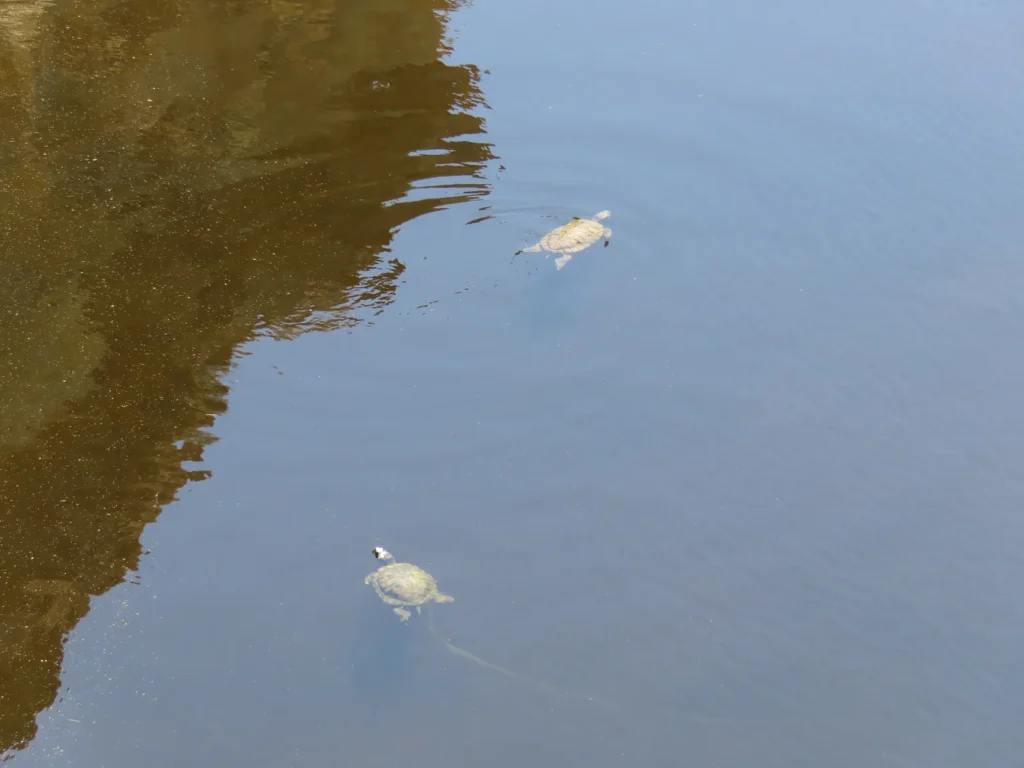
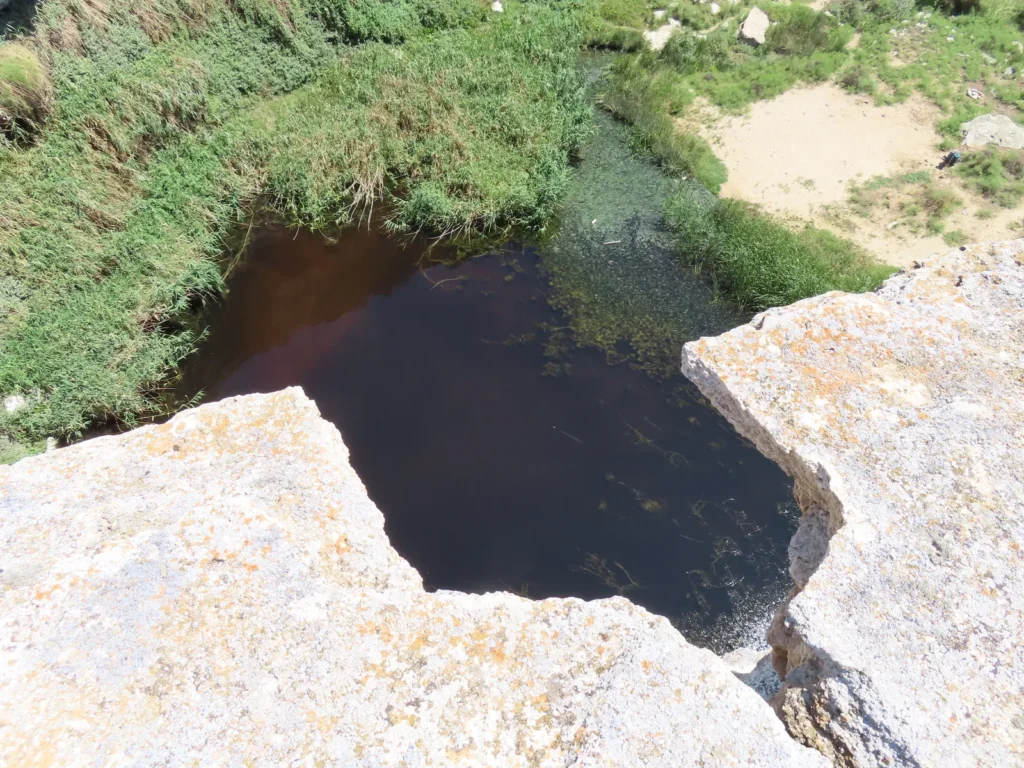
The best strategy to photograph the turtles is to climb the steep sides surrounding the lake and locate them from above
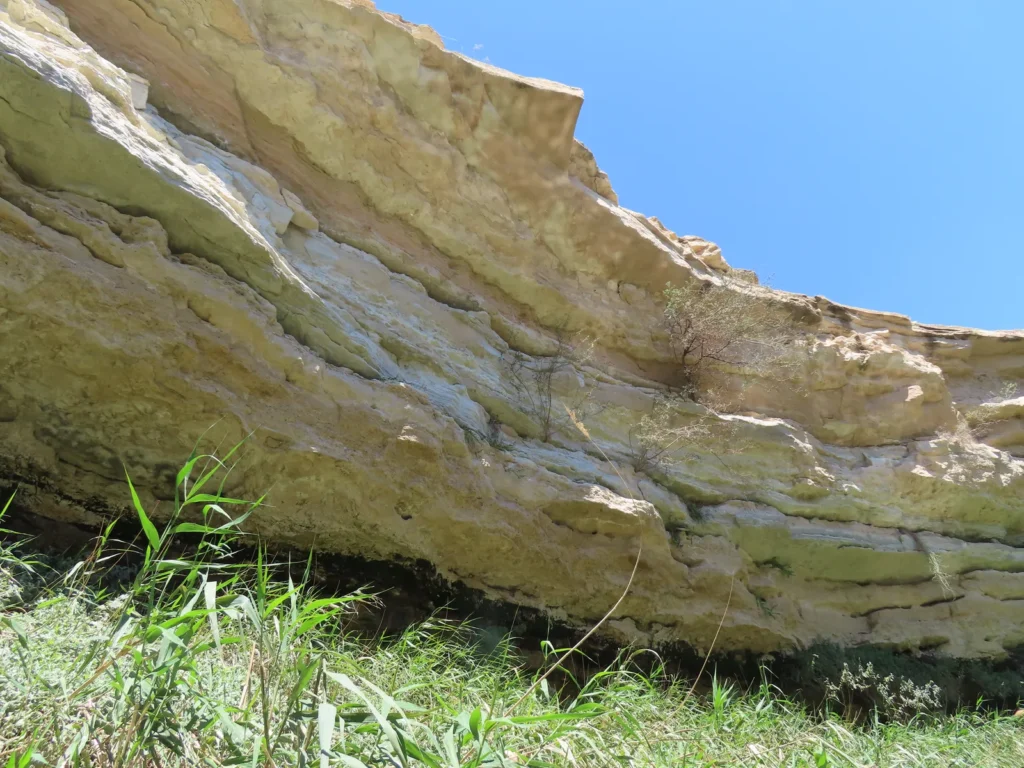
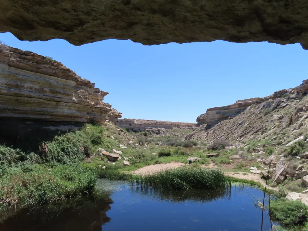
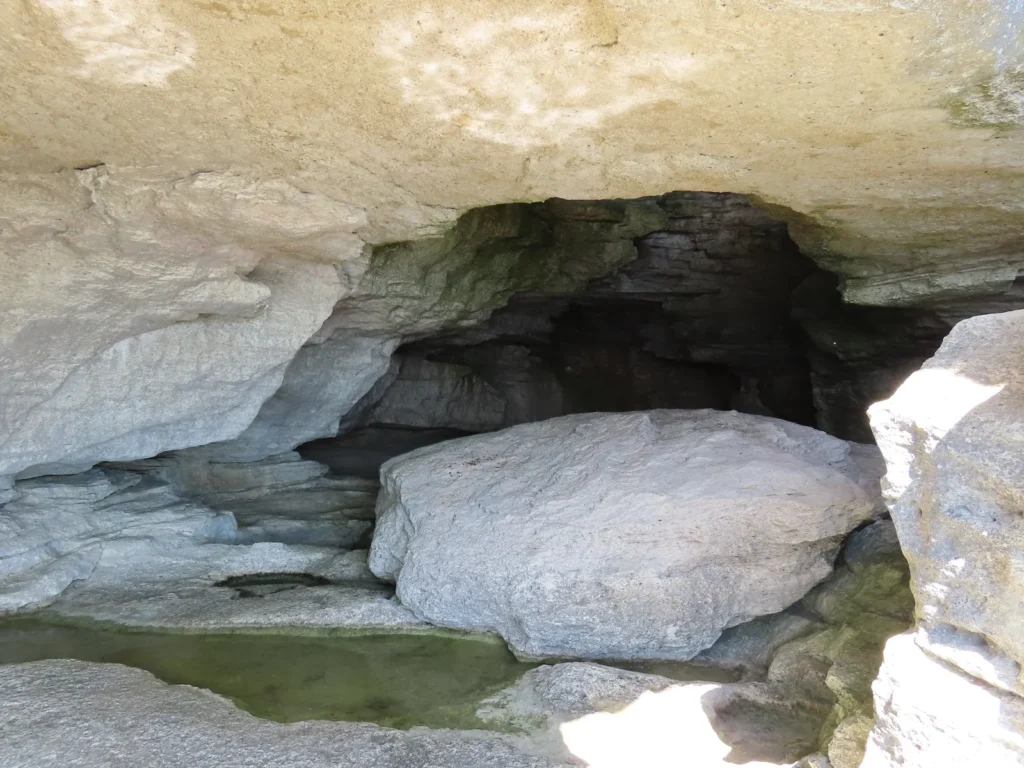
You can also rest in the shade under the overhang
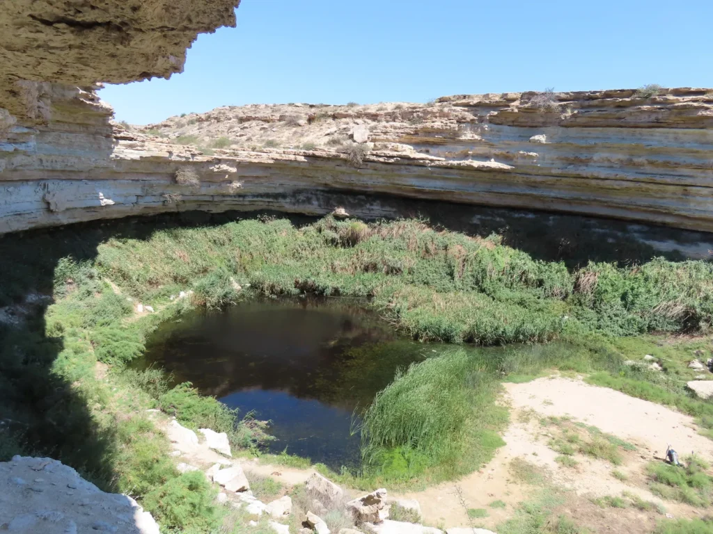
A more comprehensive view showing the amphitheatre-like natural structure
The best way you can position yourself as a wildlife photographer is to climb to the rim
Voila! There were a few swimming around, like 5-6, maybe more
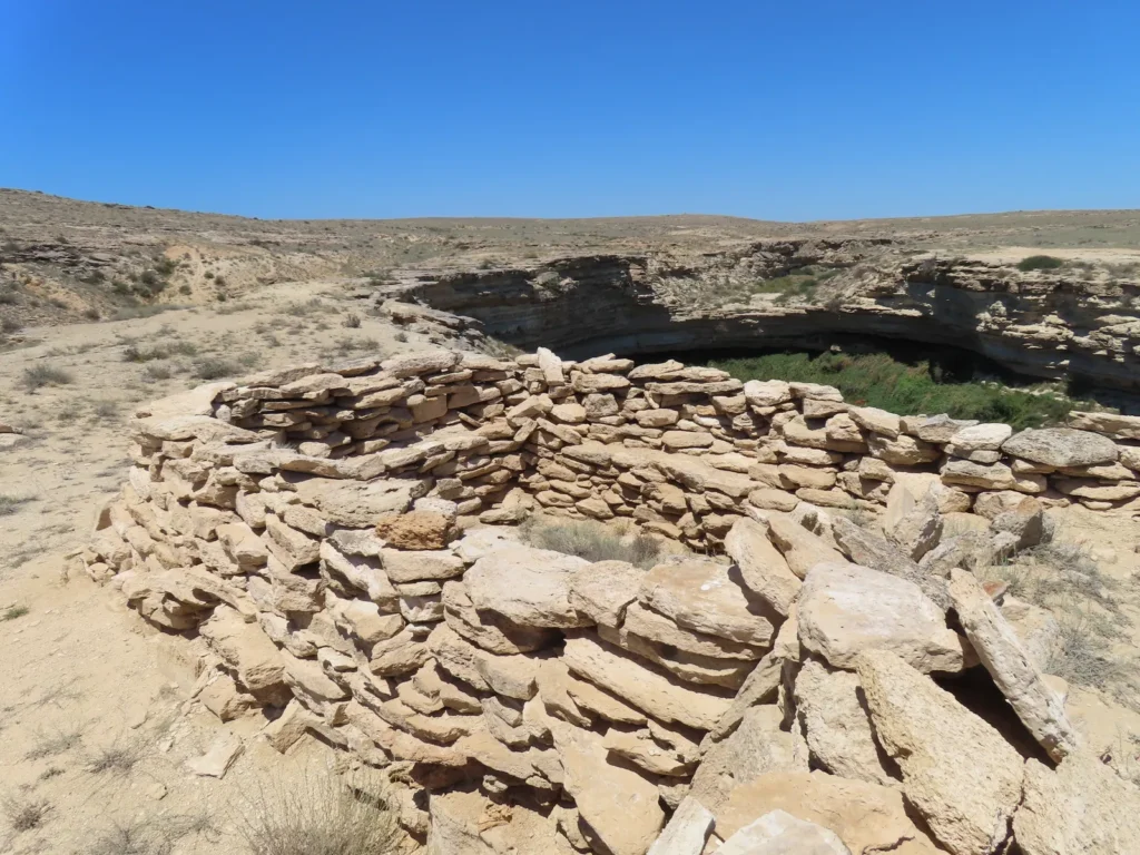
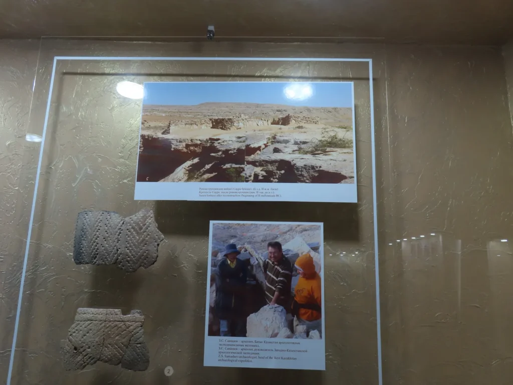
Didn’t know what this construction was until visiting the Mangystau Regional Local History Museum a few days later: Saura fortress is one of the oldest known fortifications in Mangyshlak, dated to almost 4000 (!) years old
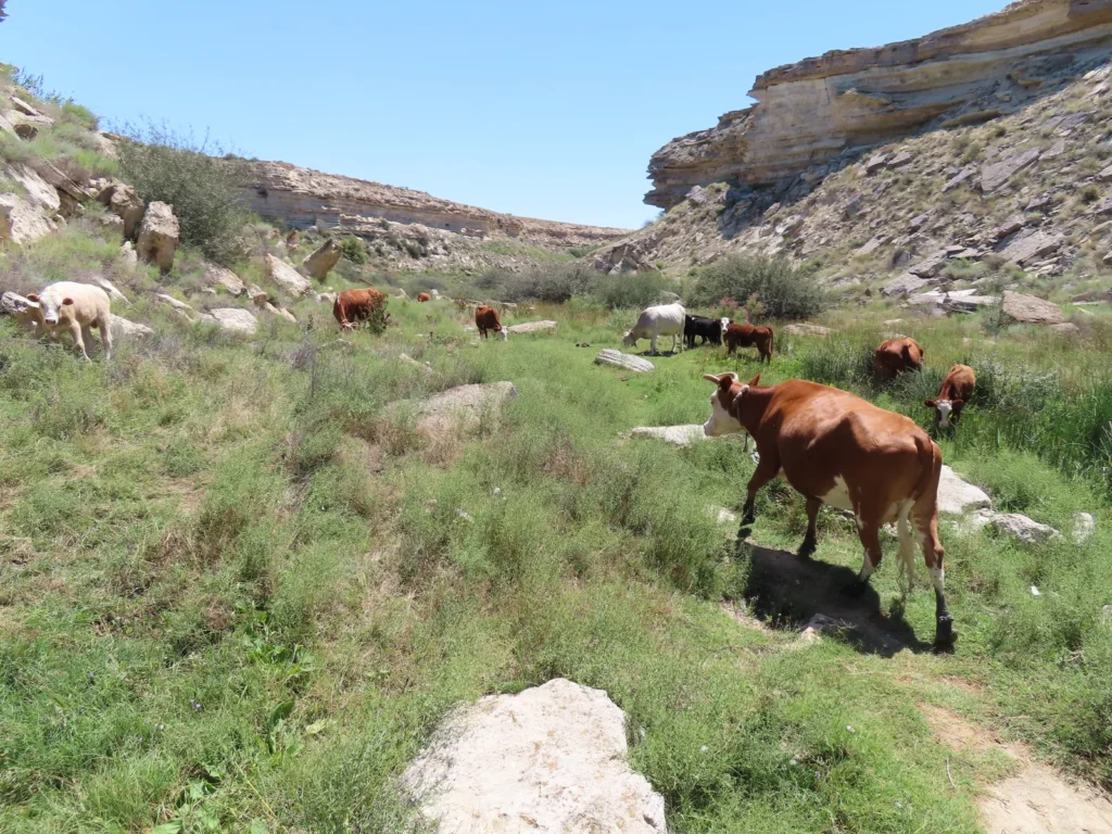
Shifting to cowboy mode: I met the cattle right on the coast and it seems that they followed me towards the canon
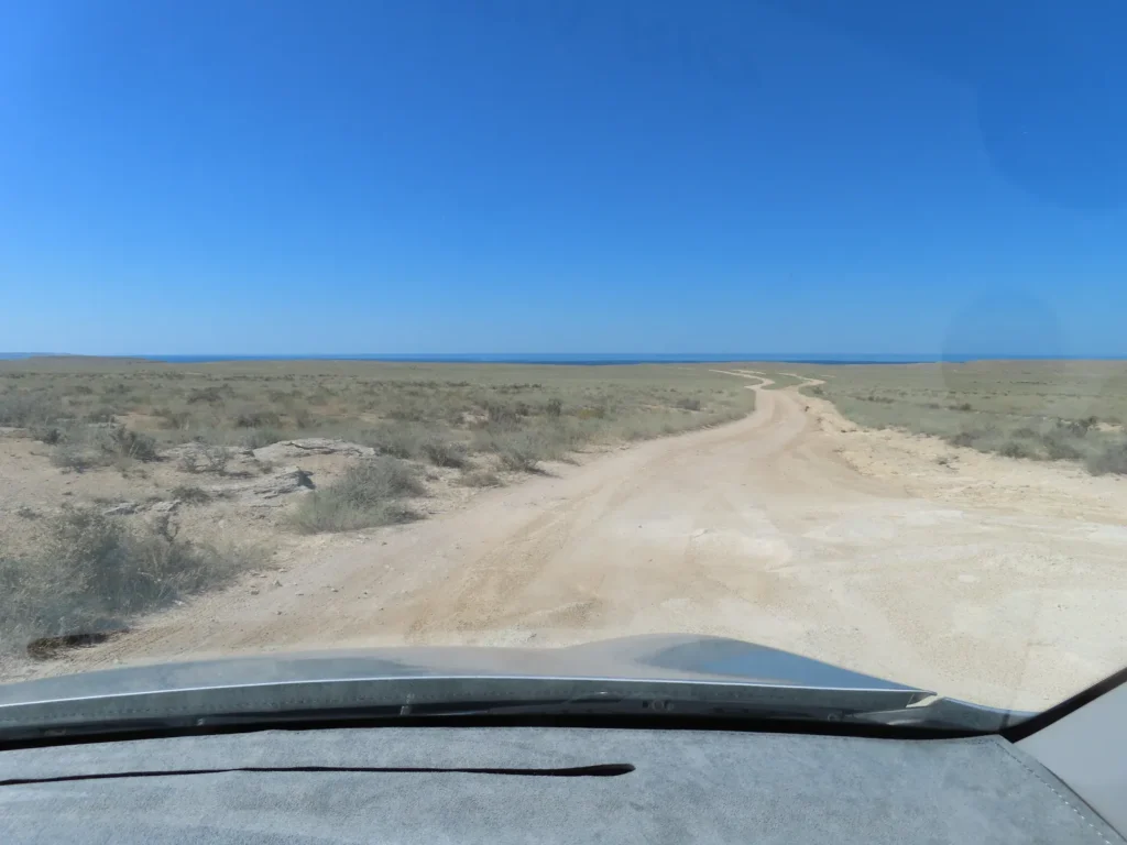
I continued on the coastal dirt road towards the Golubaya Bay. After a while there wasn’t any clear track, only a few hares were running time by time between the bushes
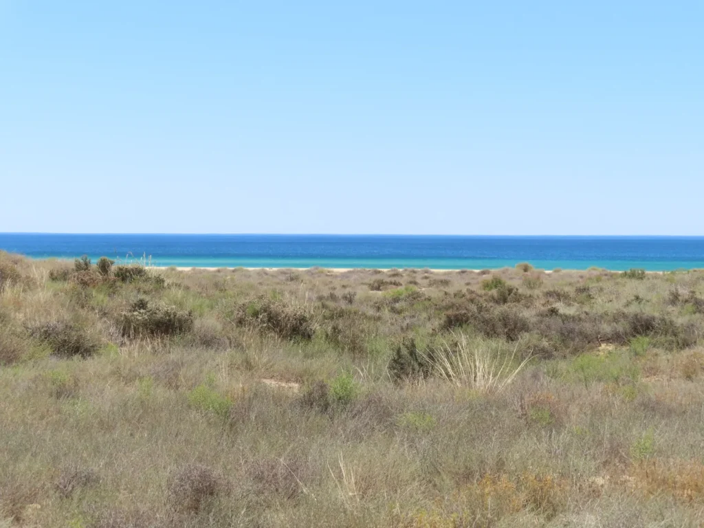
I’m pretty close, but also not in a rush: in the early afternoon the air became surprisingly hot right beside the sea
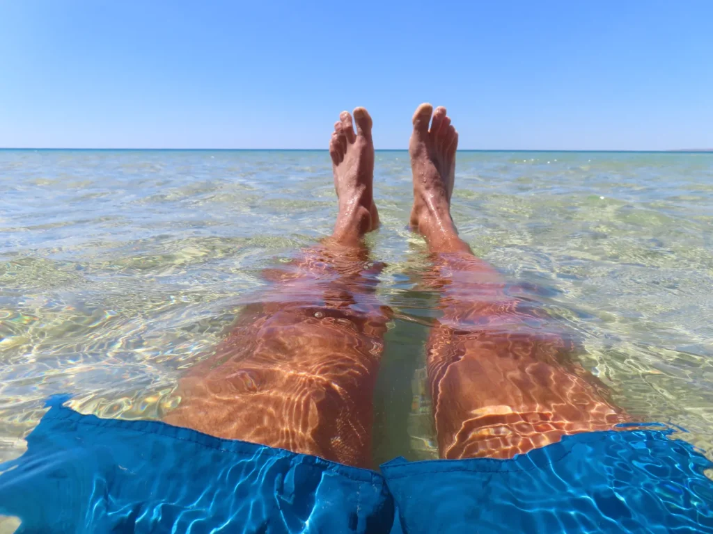
The contrast between the 17 degree water and the midday sunblaze is both shocking and heavenly pleasant, especially after carrying the backpack in the sand of the beach
Should I move here?
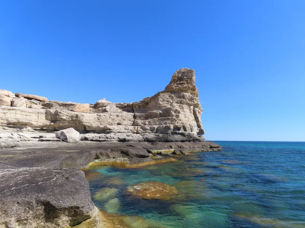
Approaching the “Devil’s Finger” rock formation on the other side of Golubaya Bay. There were a few visitors (likely only locals), unlike Saura which was a complete ghost-town
On top of the World? Metaphorically maybe, but concretely still below sea level
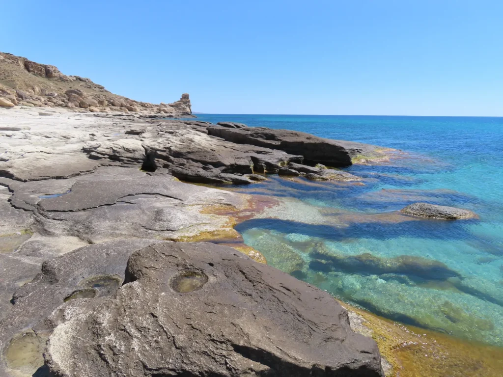
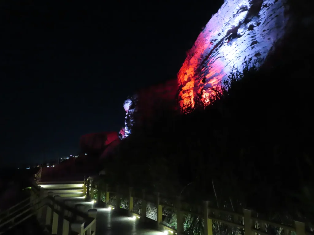
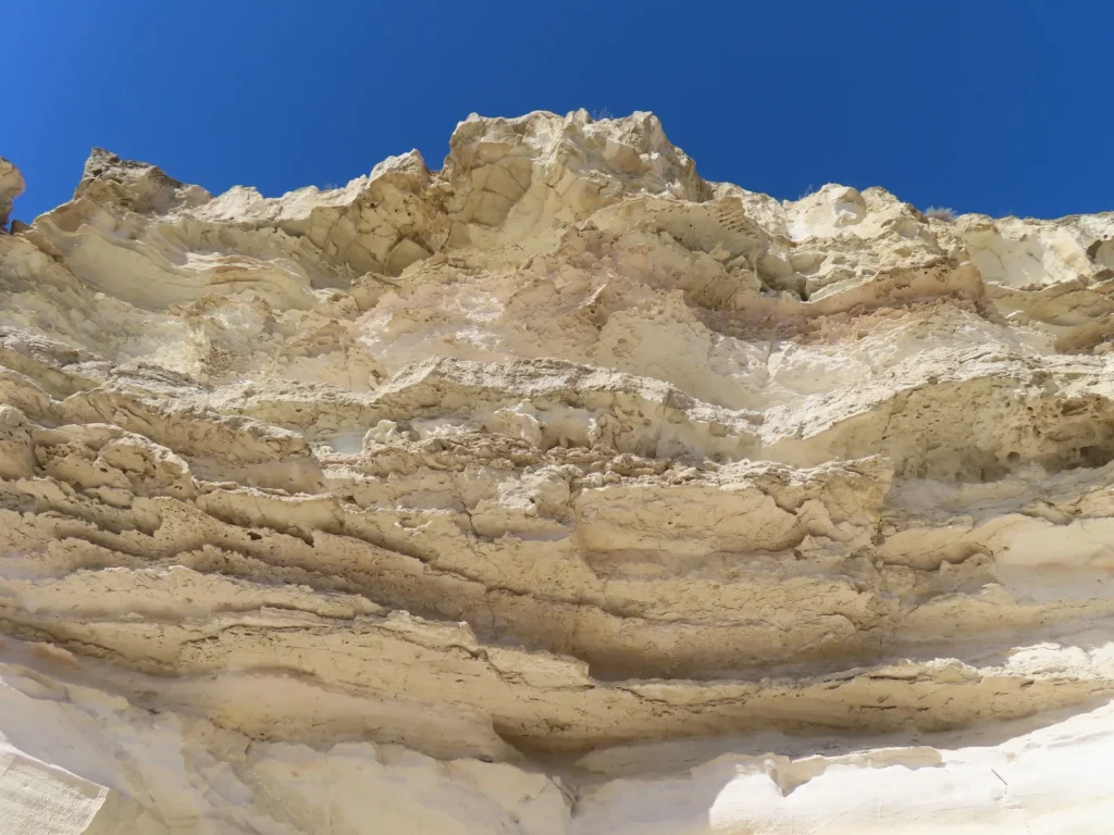
Surreal color contrast on the remote, rocky coast
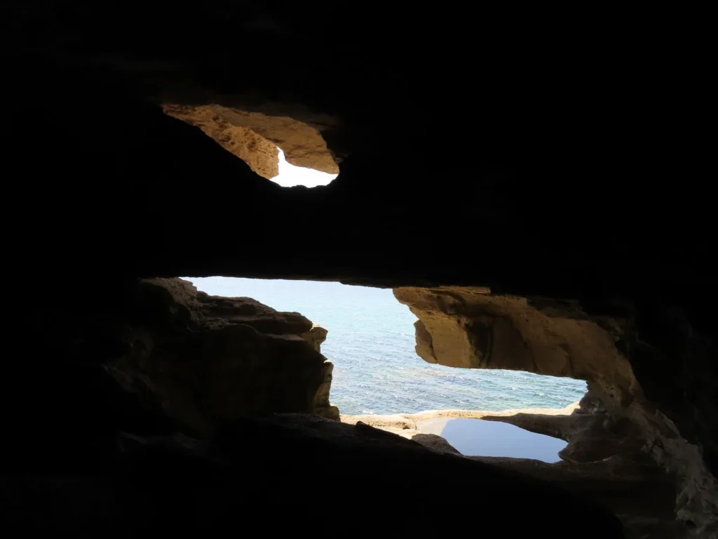
At the base of the tower: nice surprise, I didn’t know about this cave
Is this another portal somehow connected to Tainaron’s Hades? After all, the devil is at home
While definitely not the Hell, still shocking…and tempting
Too bad I must return to the hotel room in Aktau, maybe another time…
Leaving the Heaven-Hell I made a shortcut towards the dirt road, which leads to the main one situated probably 10-12 km more inland. After a good hour hike I accepted a lift offered by local excursionists and had some base-level but still satisfying english conversation with the son of the driver
Skalnaya Tropa in the evening, after a few cold beers
How could we end the day better?
Next day at the museum: without asking, a local inspector offered a free lift after explaining the institution is situated in another location, on the outskirts of the city. Great guy.
This is what I was talking about at the Saura oasis: almost 4000 years
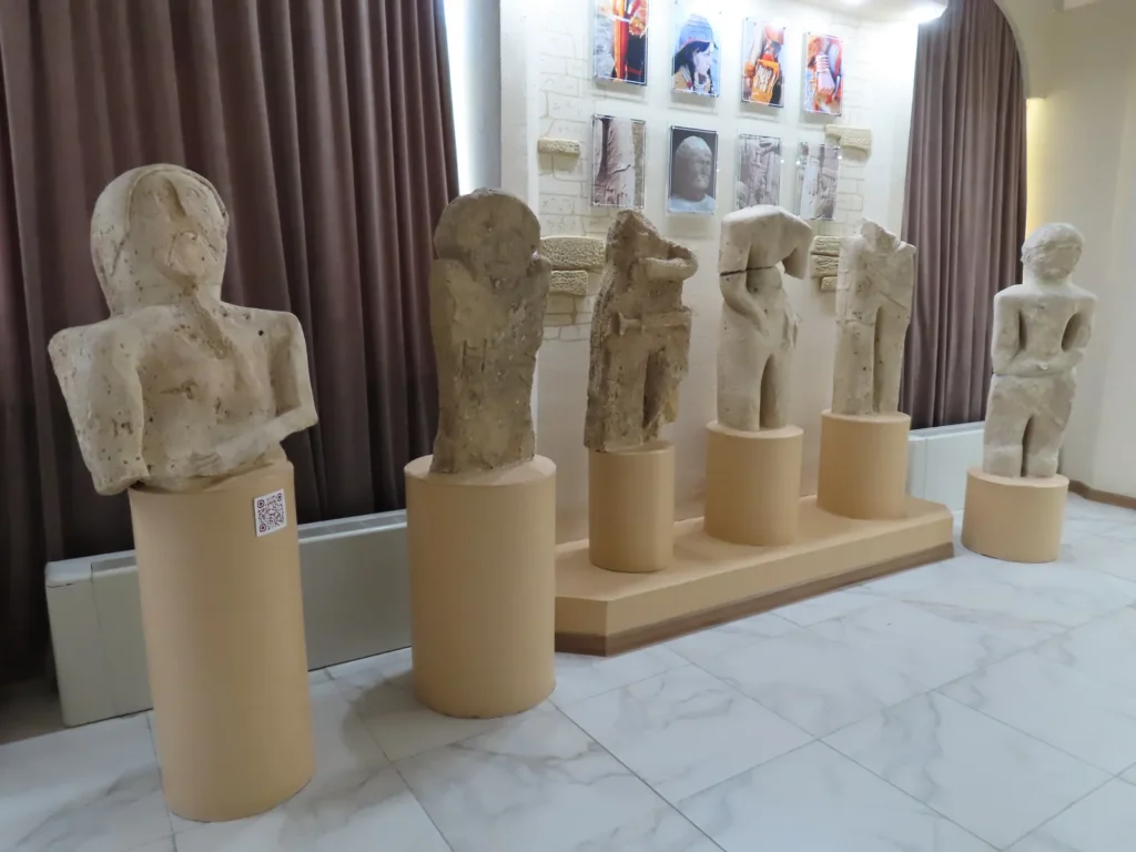
Other ancient stone artifacts likely collected from the cultic sites of the Ustyurt Plateau (scythian or sarmatian)
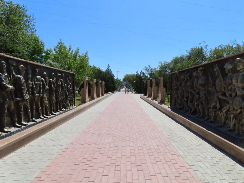
World War II monument in Aktau’s center
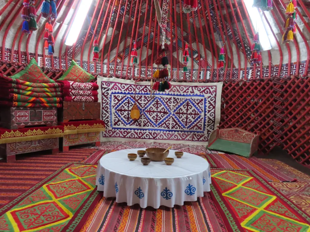
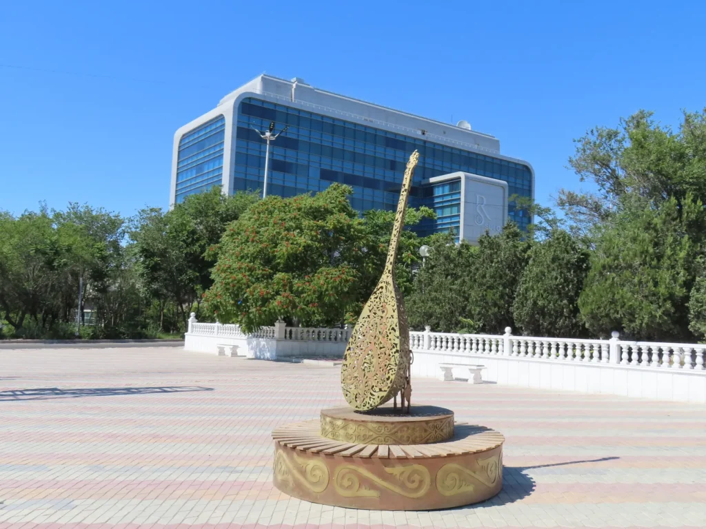
The dombra, a kazakh national musical instrument
Sure…but not today
At Skalnaya Tropa during the afternoon: I am already fantasizing about how the barren cliffs of the chosen location will enhance the insolation by the additional reflected radiation…
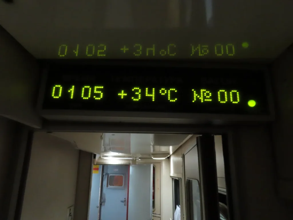
…and soon I will experience it directly: the Mangystau-Beyneu night train was like a sauna in the beginning, a decent warm-up (pun intended) for the desert adventure
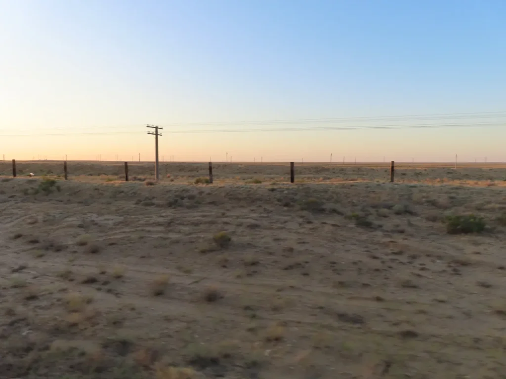
First sights of the remote Ustyurt Plateau in the early morning, the village-town can’t be too far
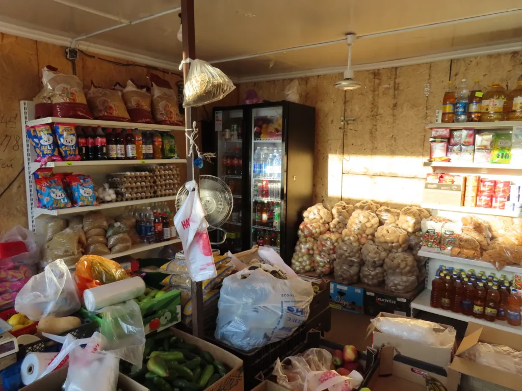
Shop in the main market of Beyneu: As it was too early in the morning – accepting the help of a local – I had to woke up the vendors to buy some additional food and can drunk a refreshing kymyz, my favorite beverage in Kazakhstan, by far. Already prepared with the big luggage to continue the journey, I soon was in search of a car towards Sarga, the closest settlement to my target.
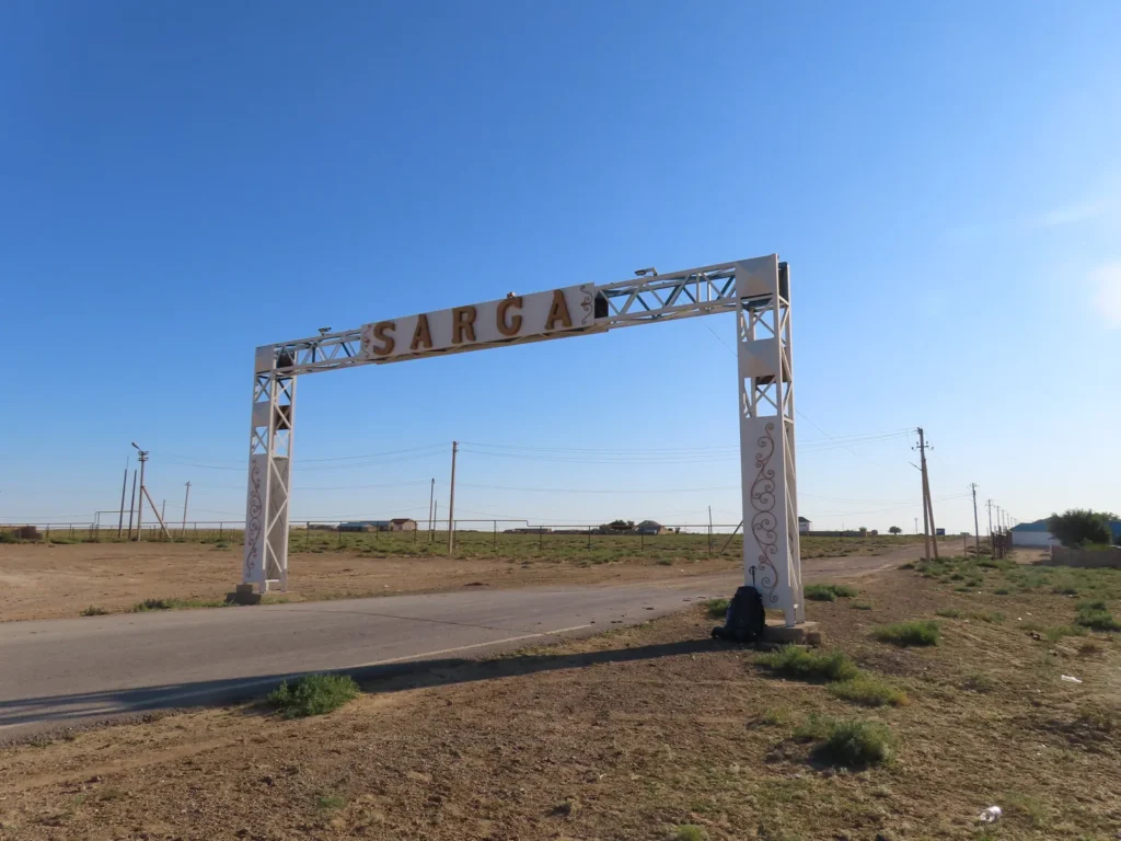
Arriving at Sarga, the starting point of the desert hike: after just missing the marshrutka (local minibus) – again with local support – I caught it up by another car which went towards the Uzbek border. The only passenger, btw.
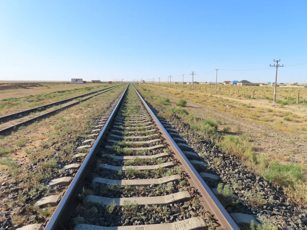
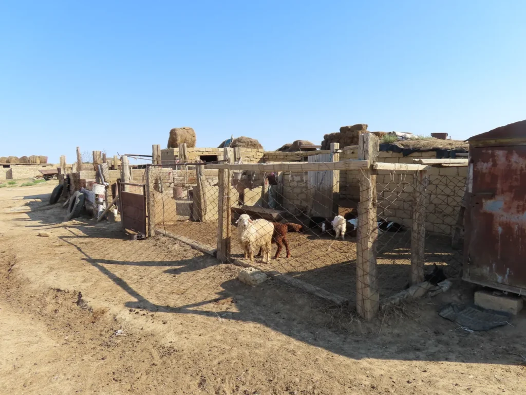
Crossing the railway in the outskirts of the the village, which looked pretty run-down, to be honest
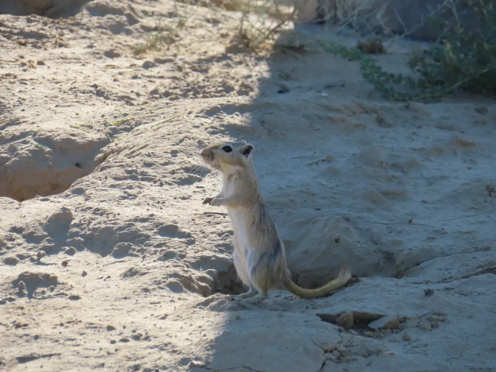
Then the concrete adventure in the wilderness begun: great gerbil, scanning the morning atmosphere from his porch
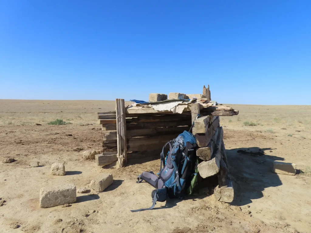
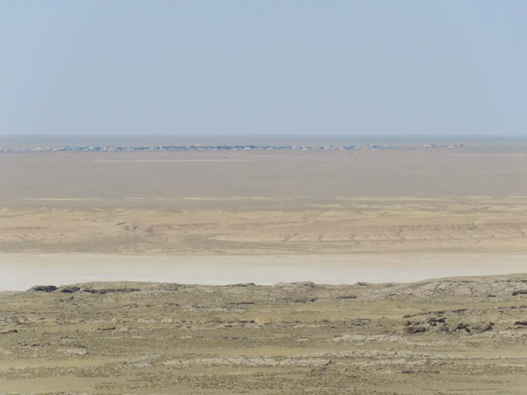
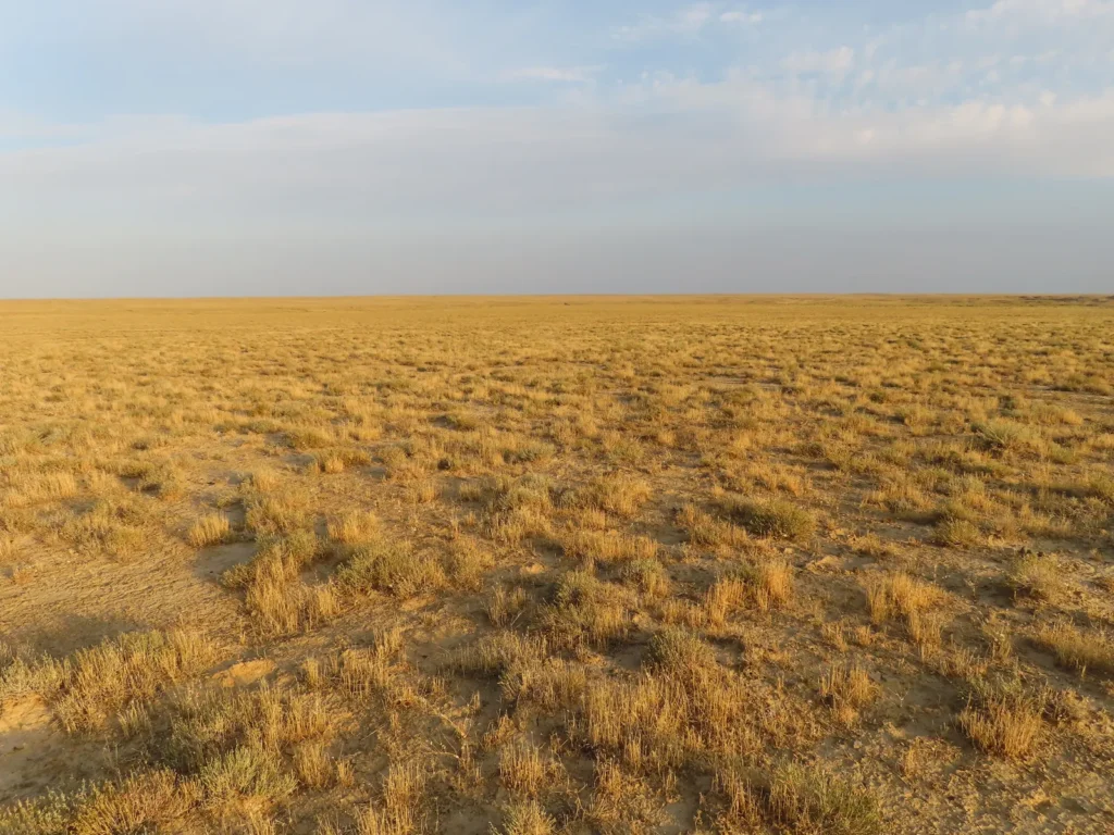
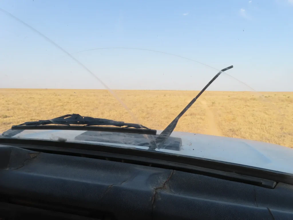
Short break at a modest shepherd shelter: The first part of the route was represented by completely flat, arid steppe mostly covered by short grass (grazing terrain). Complete sunshine, the temperature is rising.
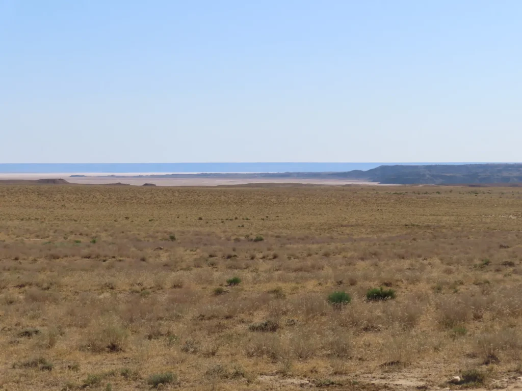
First view towards the Ashyktaypak depression: good vibes, everything (shape, timing, progress) looks and feels fine
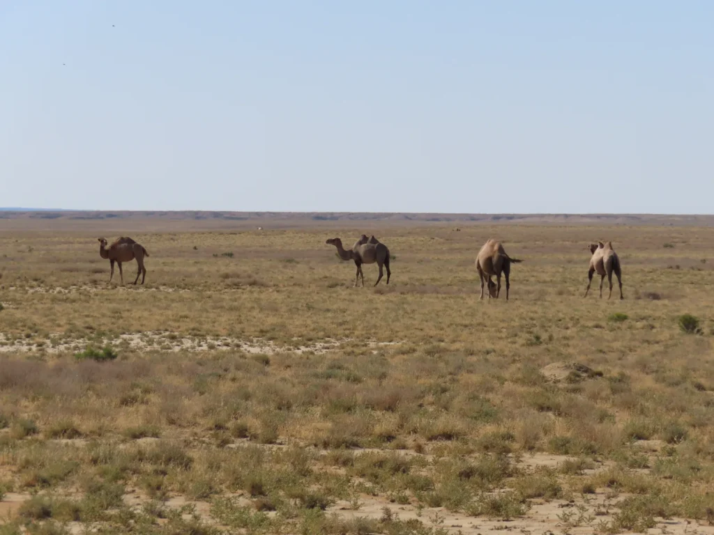
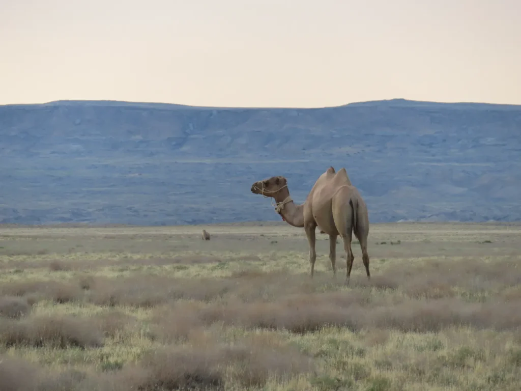
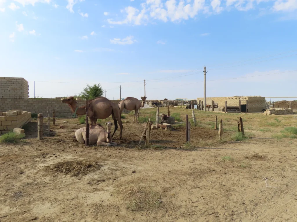
Unsurprisingly, the single living creatures of considerable size in the area are the camels, both one and two humped specimens
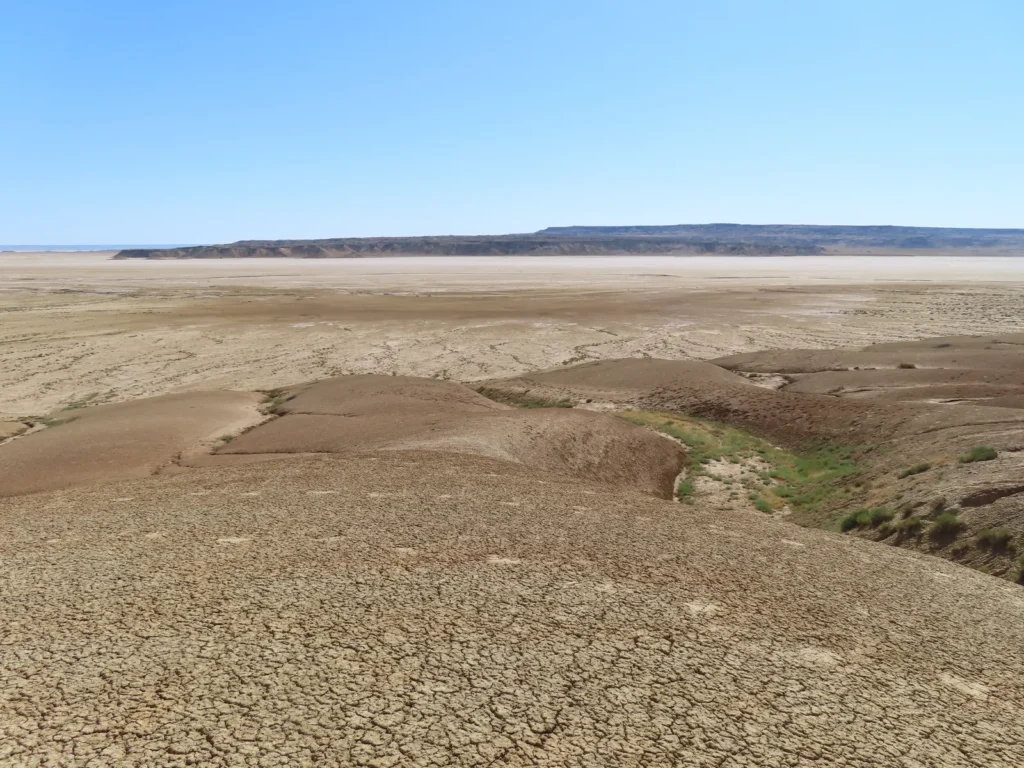
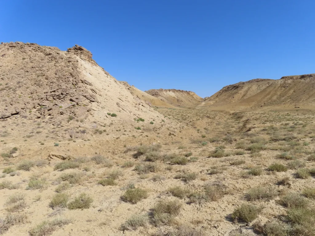
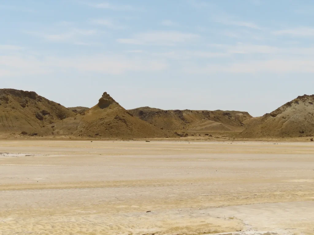
Soon I reached the western rim of the endorheic basin, where the topography became more fragmented
Here we go: the last stretch of steeper, loose terrain, let’s see how the most critical part, the very bottom represented by the salt marsh will be like
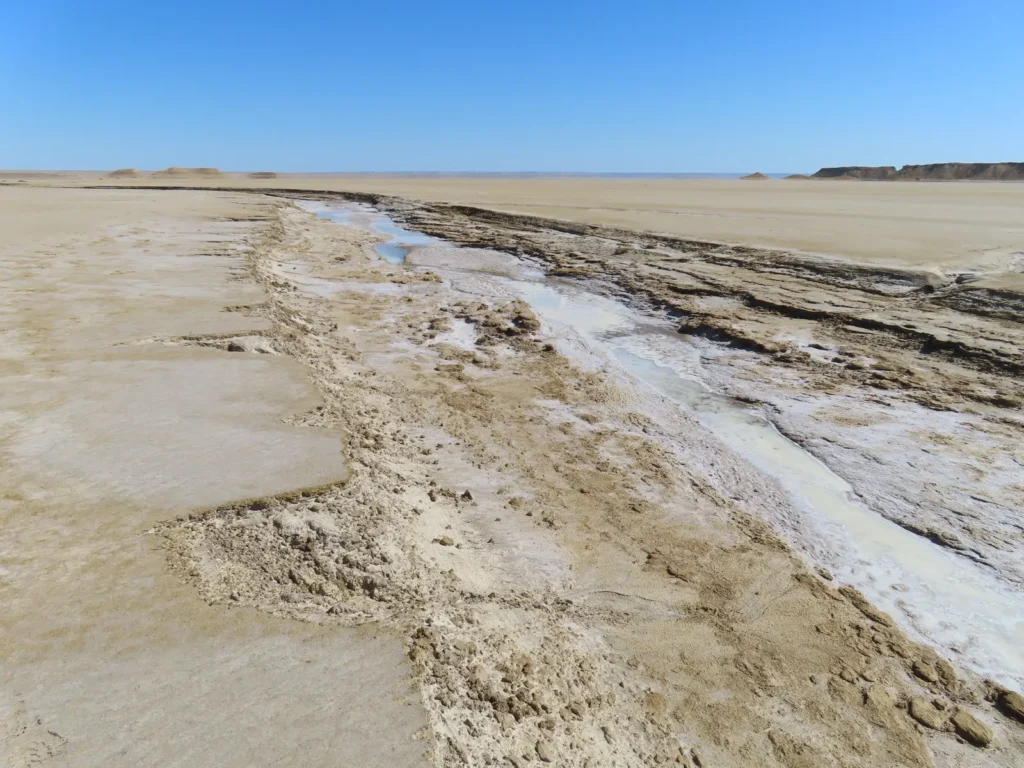
Aha! I knew about these discontinuities (small streams crossing the solonchak) and – after the experience in the Karagiye depression two years before – considered them the major question mark of the entire adventure, at least regarding the physical chapter: will they be easily crossable or the hike will become a more serious struggle?
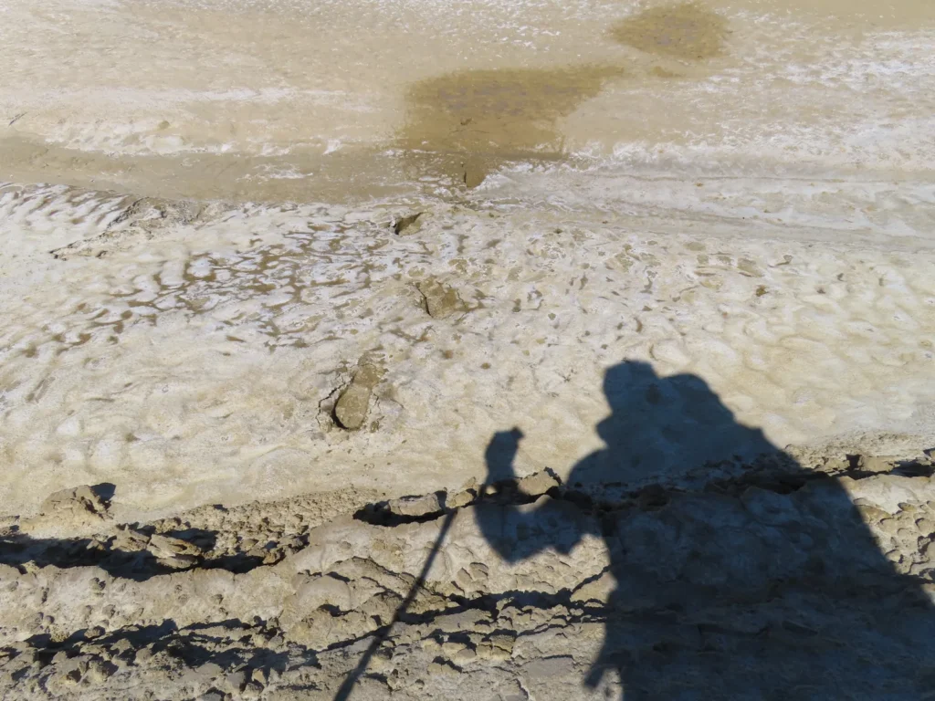
Great relief: I didn’t sunk or get stuck inside the salty mud. While I was prepared to take off my shoes and risk entering a more challenging sector if necessary, I wouldn’t have missed it in this heat with the heavy luggage on my back, that’s for sure.
Approaching the target: in the very center of the V-shaped sector in front of me lies the chosen spot
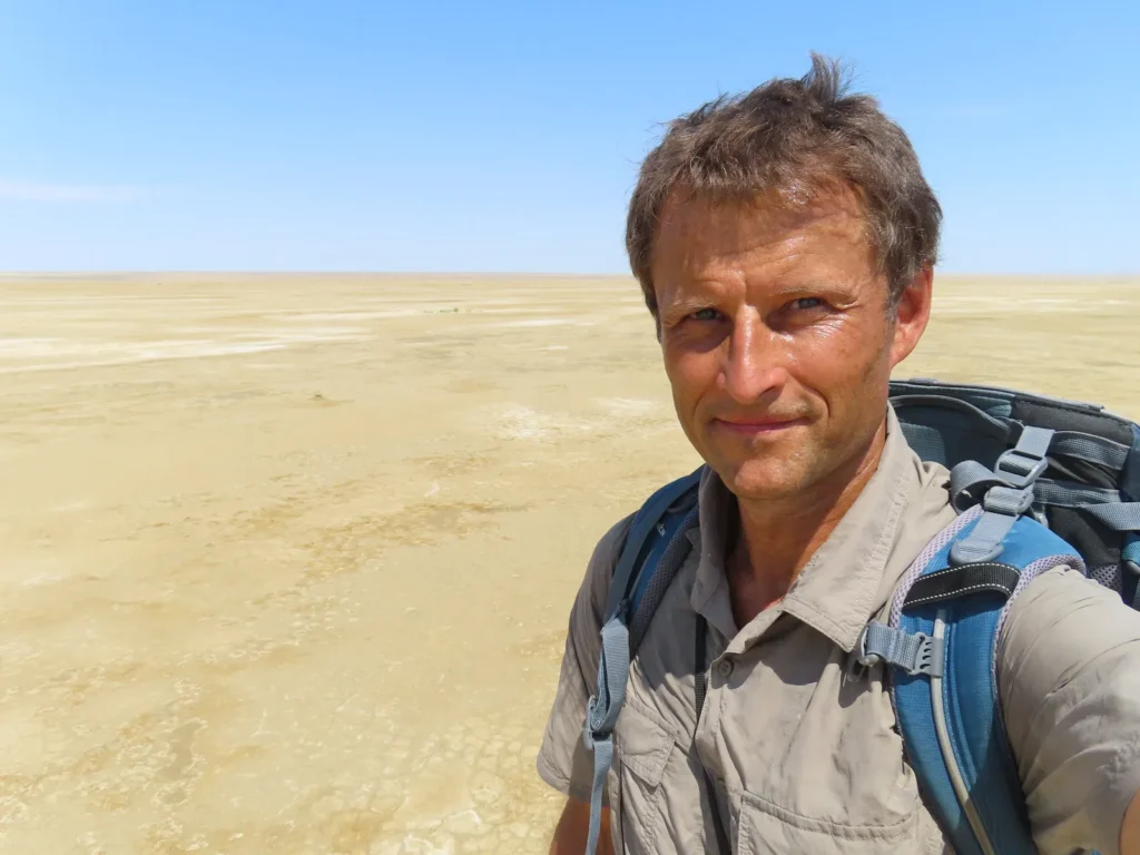
Clear internal alignment feeling after arriving: soon the measuring equipment is installed on the tripod and at 10:46 AM the logger started its operation
The first chapter of the mission successfully completed
Leaving the bulk of the luggage behind, I went to a shorter exploration of the surroundings
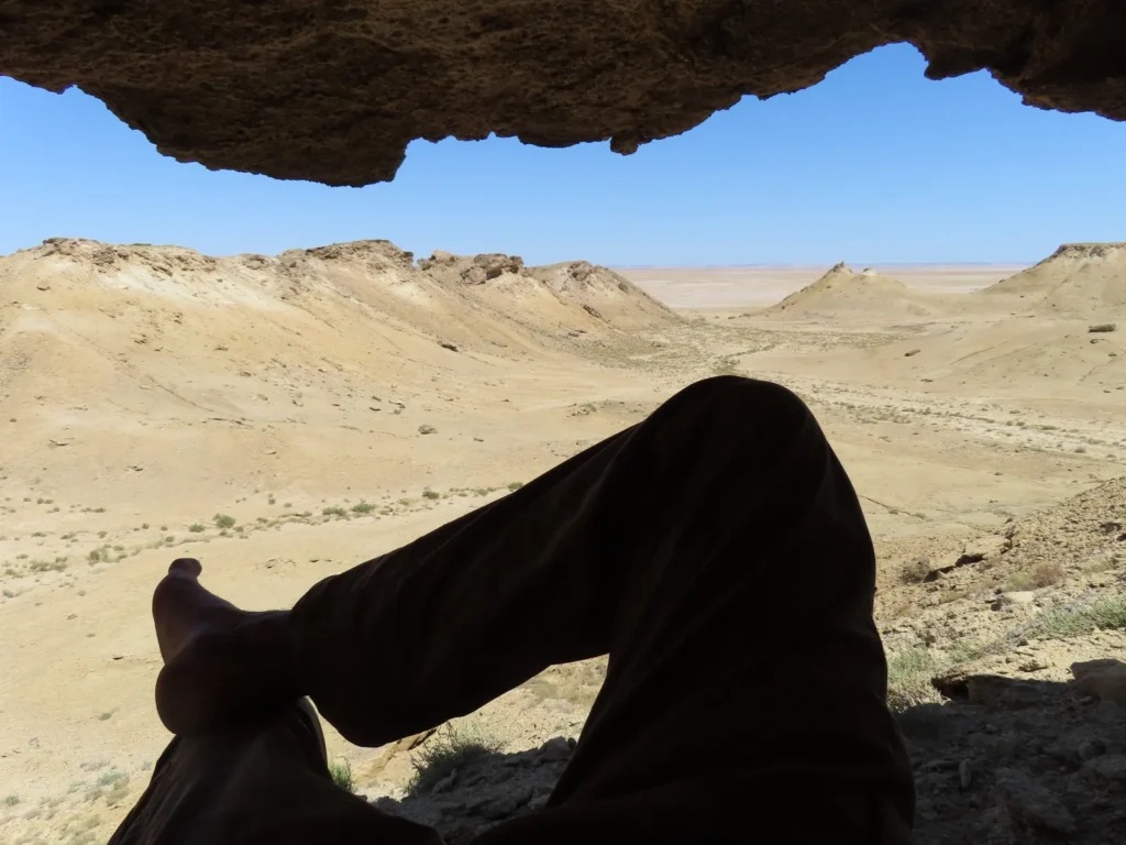
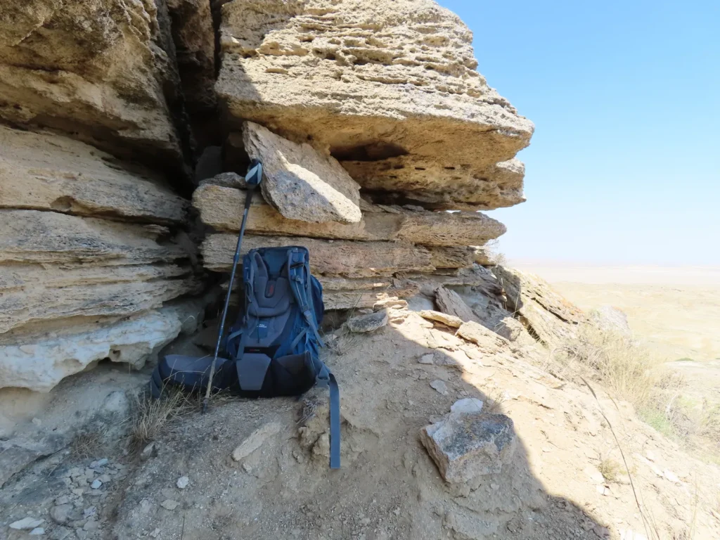
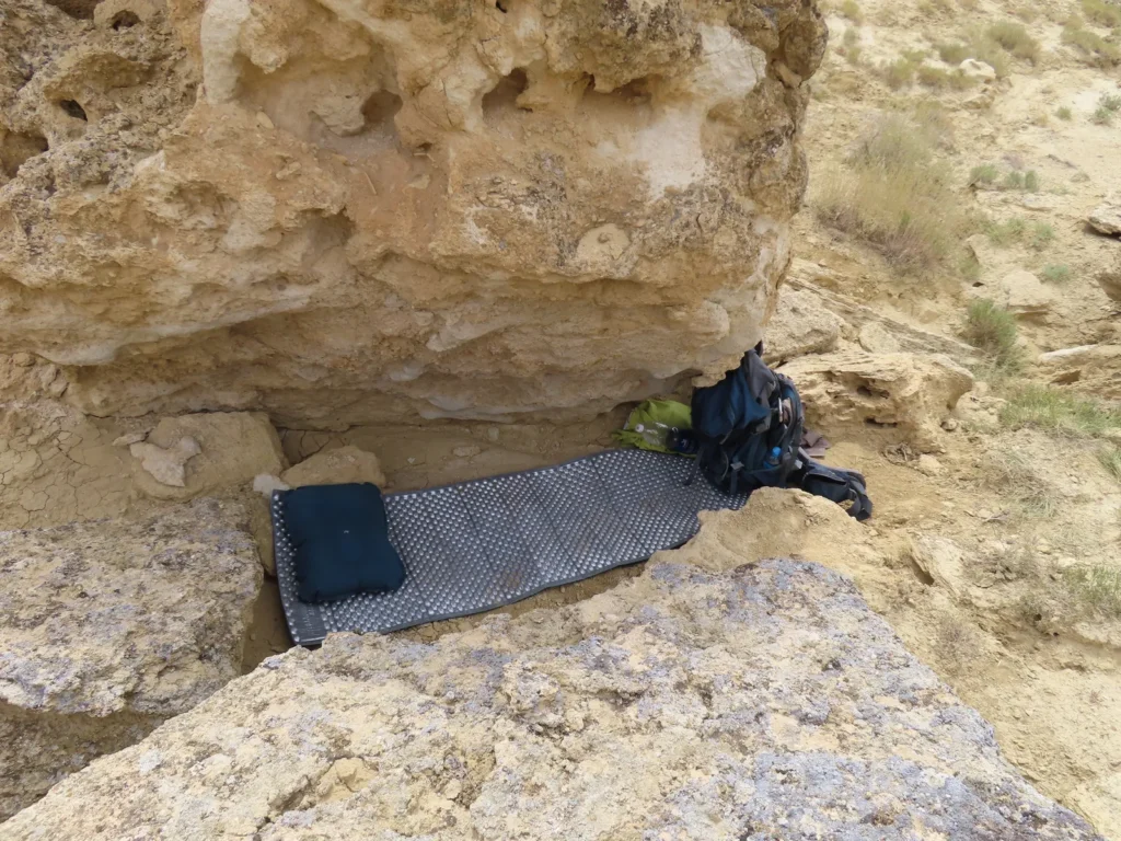
Home, sweet (or sweat) home: resting under an overhang, good shelter against the midday sun
Above the research camp
As expected, in the afternoon the temperature raised above the human body temperature. Still not a single cloud fragment on the sky.
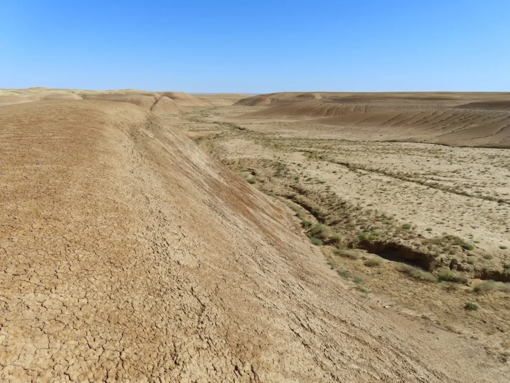
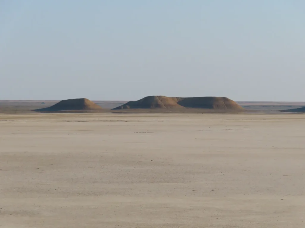
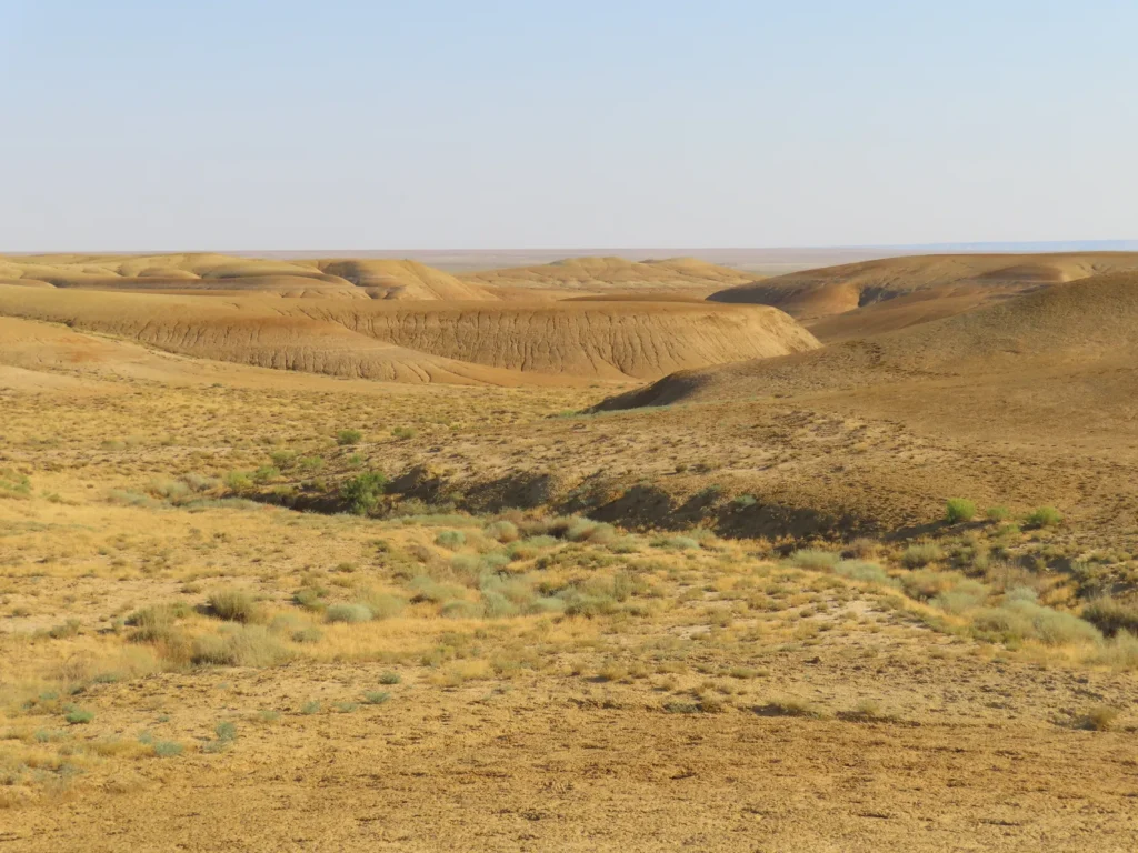
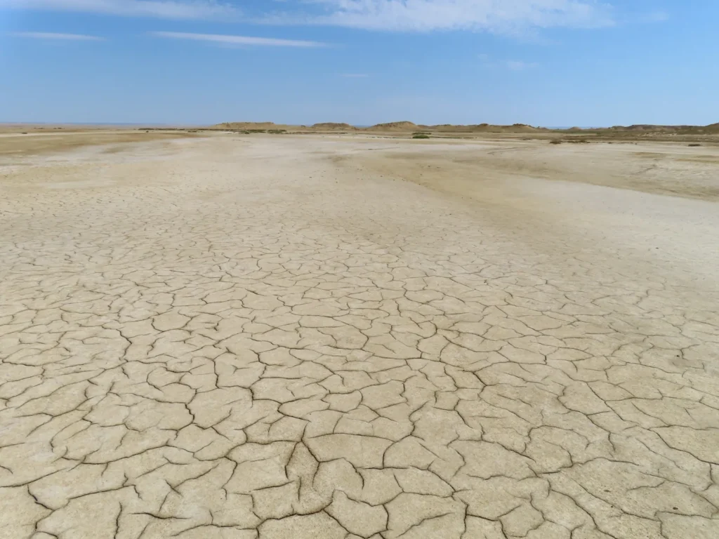
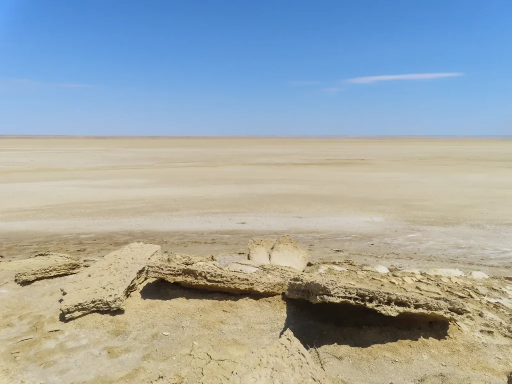
Everything looks carved, fragmented, fragile, often to the degree of alien. The harsh desert weather relentlessly and continuously grinds, reshapes the contours.
While still far from cool, towards the evening some vocalizations can be heard
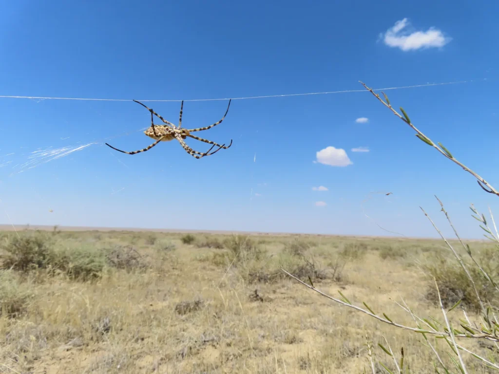
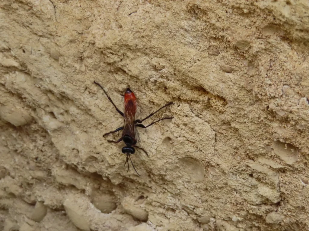
This insect is like a cheeky troll: had bitten me without any provocation. No aftermath signs and effects however, just an electric current-like, short-lived burning sensation
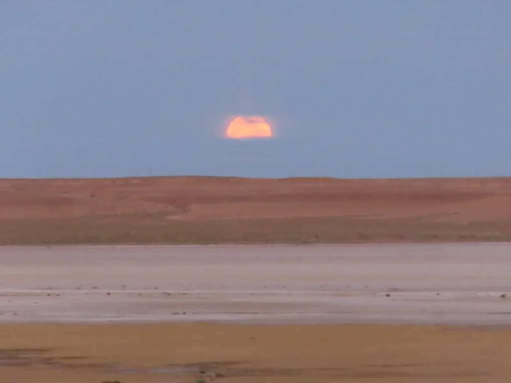
Not sunrise, but moon-set: The night was quite warm, only in the latter part covered myself a little. Without much insects after dark, I didn’t even used the mosquito tent, was more comfortable to just lay on the insulating mat
Good morning: yeah – except the AC – this will be the lowest temperature I will encounter in the next 10 days
Crossing the saltmarsh (now confidently) on the return towards the village
Still no clouds at all
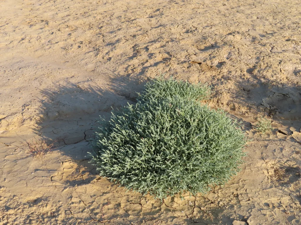
This plant is kind of special: most likely very salty, but contains a considerable amount of moisture inside his small, meaty leaves, great to wash your hands or use the evaporation process as a mild cooling-boost now and then
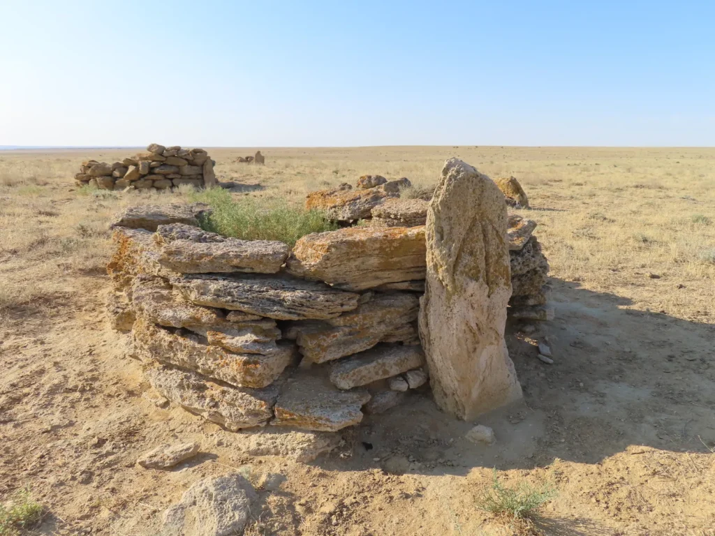
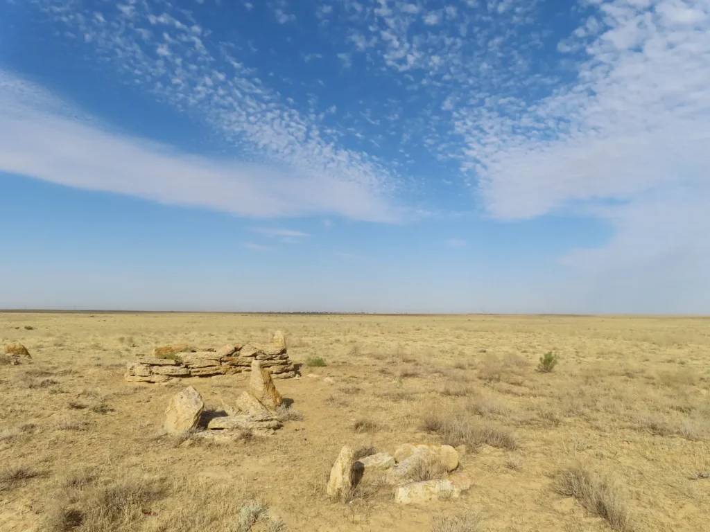
Short break in the steppe on the way towards Sarga: this was another unexpected new discovery, likely a few century or even older cultic site (cemetery) of the nomadic people, quite common on the Ustyurt Plateau and its vicinity
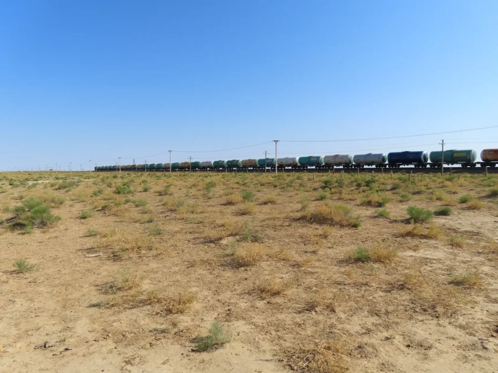
A long freight train just blocked my way before reaching the village. Couldn’t stop me, I’m pretty determined to find a shop and buy a cold energy drink.
Daily life in Sarga
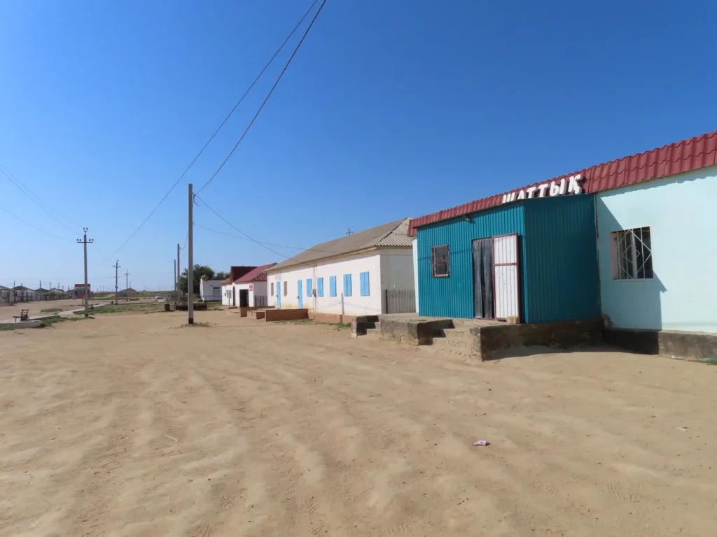
The shop exists, it’s open and even teal colored. Gorilla, the local version of Monster is winking to me from the fridge. The struggle is over, for a while.
Beyneu center: I returned from Sarga with shared taxi and went to find a hotel. Arna, the one I hoped to stay in was full, thus the more known and older Beyneu hotel became my home for the next 2 days. A little shaggy for the price (10.000 tenge = almost 20$), with barely functioning shower, but the AC was working. A few bugs (darkling beetle) appeared sometimes, but the situation was very far from the horror-story level infestation of the whole settlement I heard about on the net in late June.
When the temps rise towards 40 centigrade in Beyneu, there is a solution
So many turquoise-teal colored rooftops, fences, balconies: while partly cloudy, today is hotter than yesterday, likely climbed to 39-40 degrees in the mid-afternoon hours
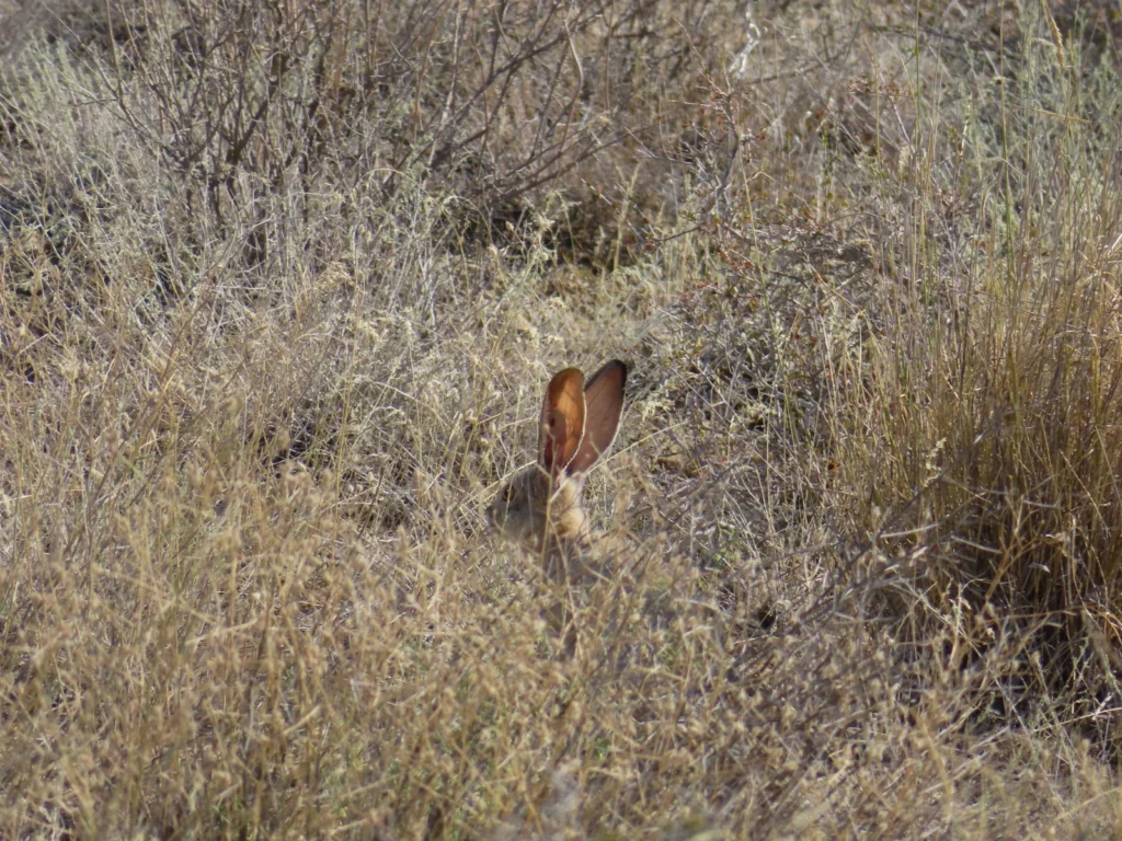
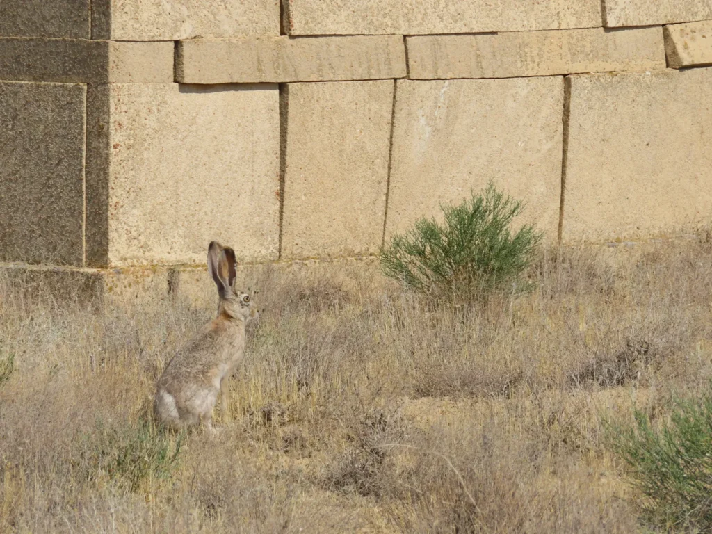
The next day on the way to Stary Beyneu (Old Beyneu) cemetery: Not everybody can radiate the heat as well as he does. I had the opportunity to photograph some hares, which are not only common here, but also less afraid of humans then generally in the wilderness where is much harder to successfully use the lens.
The Beket-Ata complex is situated 15-20 km from the town (only taxis or personal car) and for the last 3 km one has to turn to the right from the main road. Just good for a light warm-up and psychical reset
Maybe a metaphor?
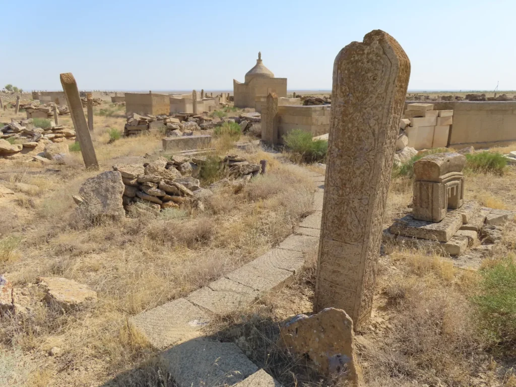
The bulk of the cemetery is less old (mostly 20th century), but there is a part where are many much more time-worn gravestones (11-18th century)
You again. Or your cousin.
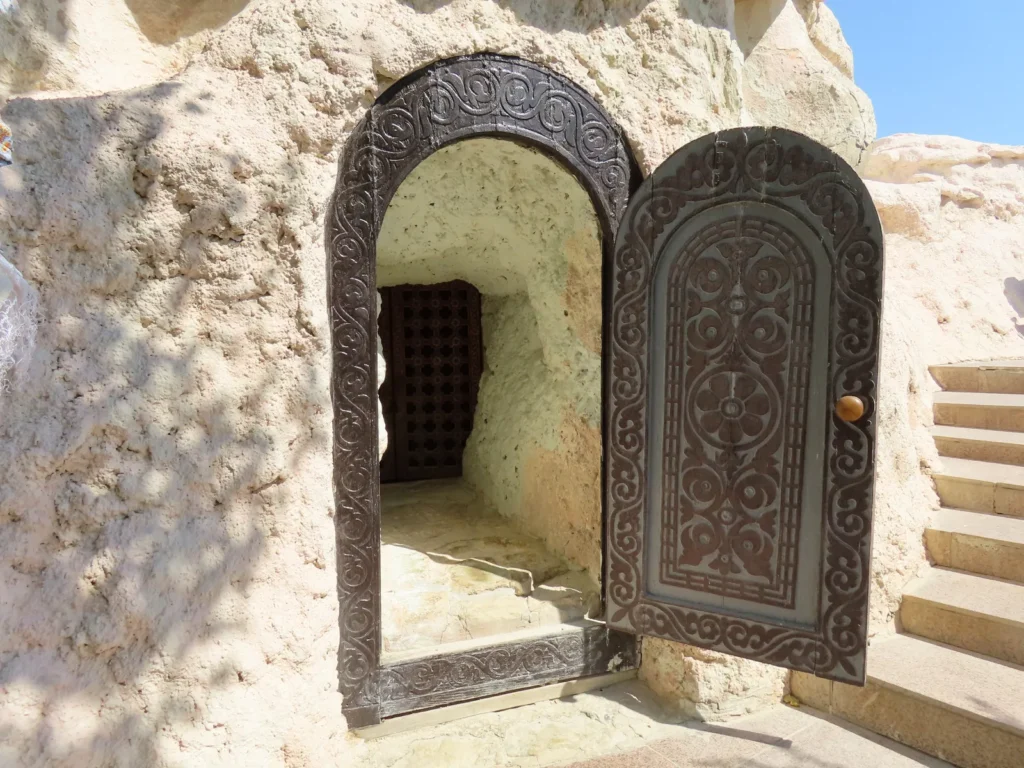
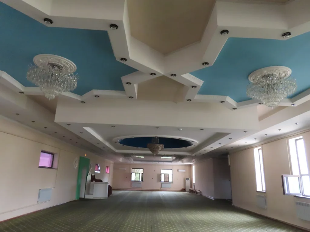
The heart of the religious complex is represented by an underground mosque where the faithful gather to listen to the internal (literarily) guidance
On the way back to the main road: Where are hares there are predators too. After reaching the highway I hitchhiked to Beyneu. The guy doesn’t want my money, while dropping me right in the parking lot of the hotel. Only the red carpet was missing…
Town center: while from noon the convective clouds rapidly evolved, the heat became oppressive, maybe the hottest day until now
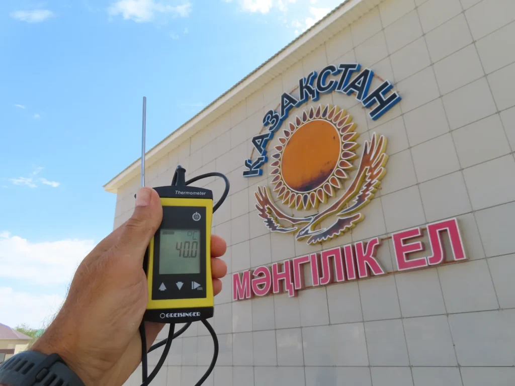
This tripod-like monument can be considered the “km 0” of the settlement. I measured 40-41 degrees in its shade with the digital precision device.
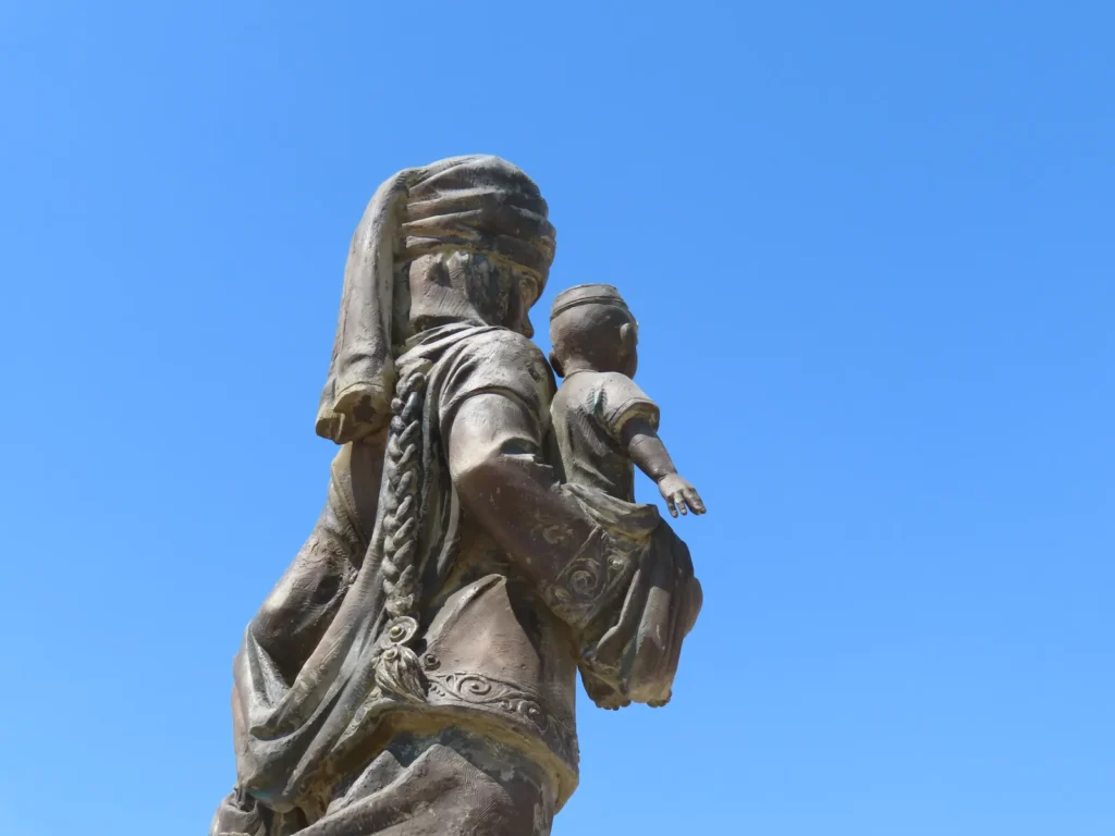
Mother & child statue in another square
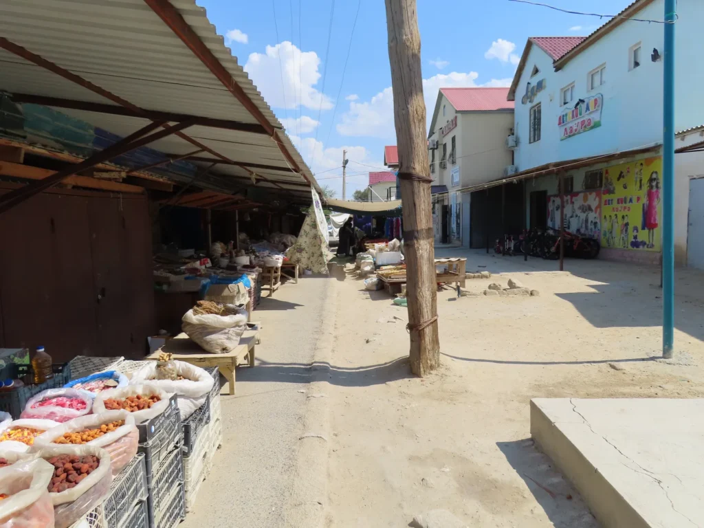
The main market near the train station: the most common goods are dried fruits, melons, samsa and brooms
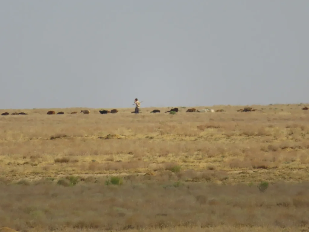
Start of the second field trip: this time there were more animals on the outskirts of the village, maybe because I arrived to Sarga even earlier in the morning. The yelling of the shepherd could be heard also for a while.
Reaching the western ledge of the depression: completely clear sky, temperatures on the rise
The former positive experience made the crossing of the salt marsh lacking any stress
Reaching the weather installation: Oh, yeah, the max is decent! Most likely was recorded yesterday and from the actual temperature this early, today also will be serious heat.
Better rested, hydrated and prepared with even more liquids (8-9 liters total) than during the first desert trip, I left the bulk of the luggage and went for a hike with a lighter backpack. The main target is to climb the eastern ledge of the depression, or more concretely the Ustyurt Plateau itself.
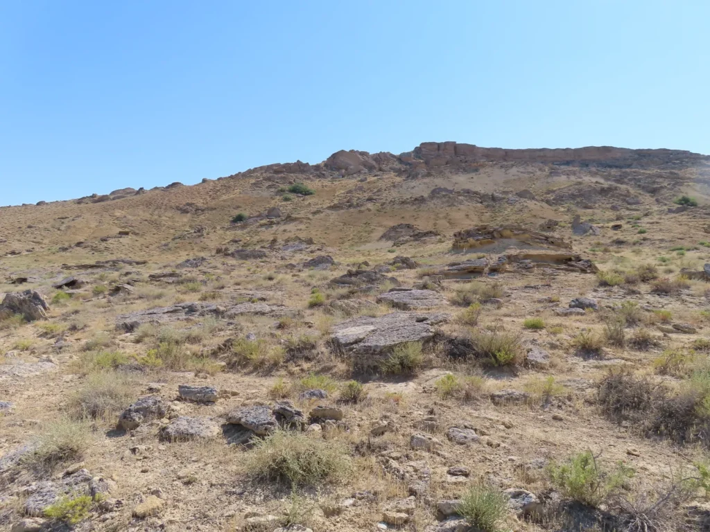
The last uphill segment: the access was quite easy and relatively direct too
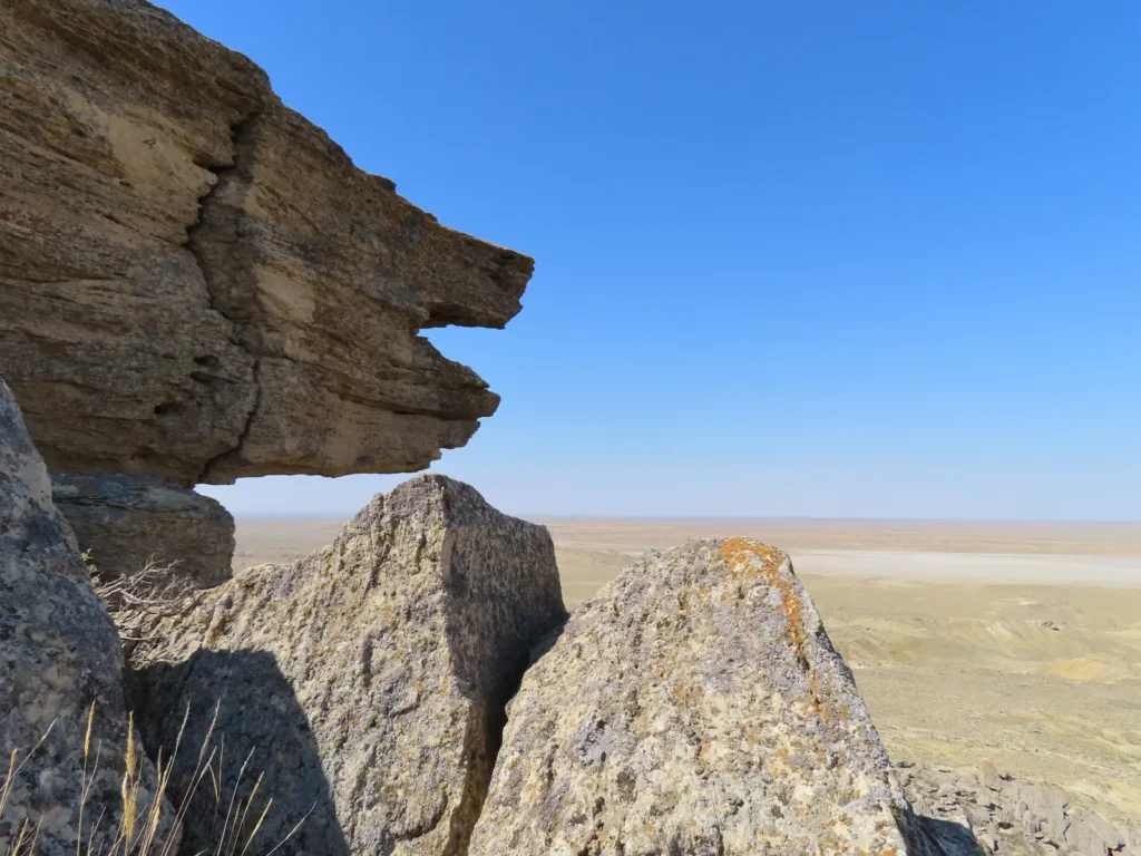
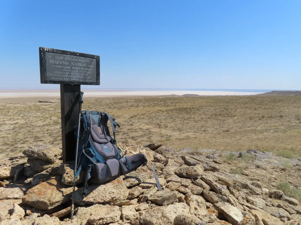
Near the top, view towards the lowland
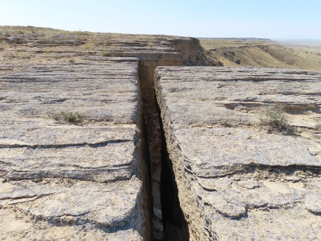
Some spectacular, deep cracks can be seen right on the edge
Not hard to imagine how erosion and gravity work together to fragment the rim
The highest point of the surroundings is situated a little farther to the north. From here you can see towards the middle of the extensive salt marsh.
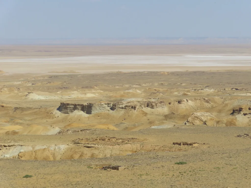
The rugged, heat-struck landscape of the sunken basin
Resting and contemplating: the northern escarpment’s shade can be used for protection during midday when the sun is high
Sarga village on the other side: to increase the adventure-factor, I chose a different route for the return
Life is still present, though more hidden
Could be dangerous
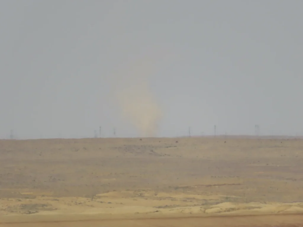
A distant dust devil of bigger size near Sarga
Aha, so here I am: because of the more difficult topography, in the latter part I had to do a bypass, passing through the “container boulders” area (center of the image) where my night-camp is located
After 1 PM some convective clouds were coming. Time to check the data logger.
The heat is oppressive: under a partly cloudy sky the temperature climbed to 41 degrees after 3 PM
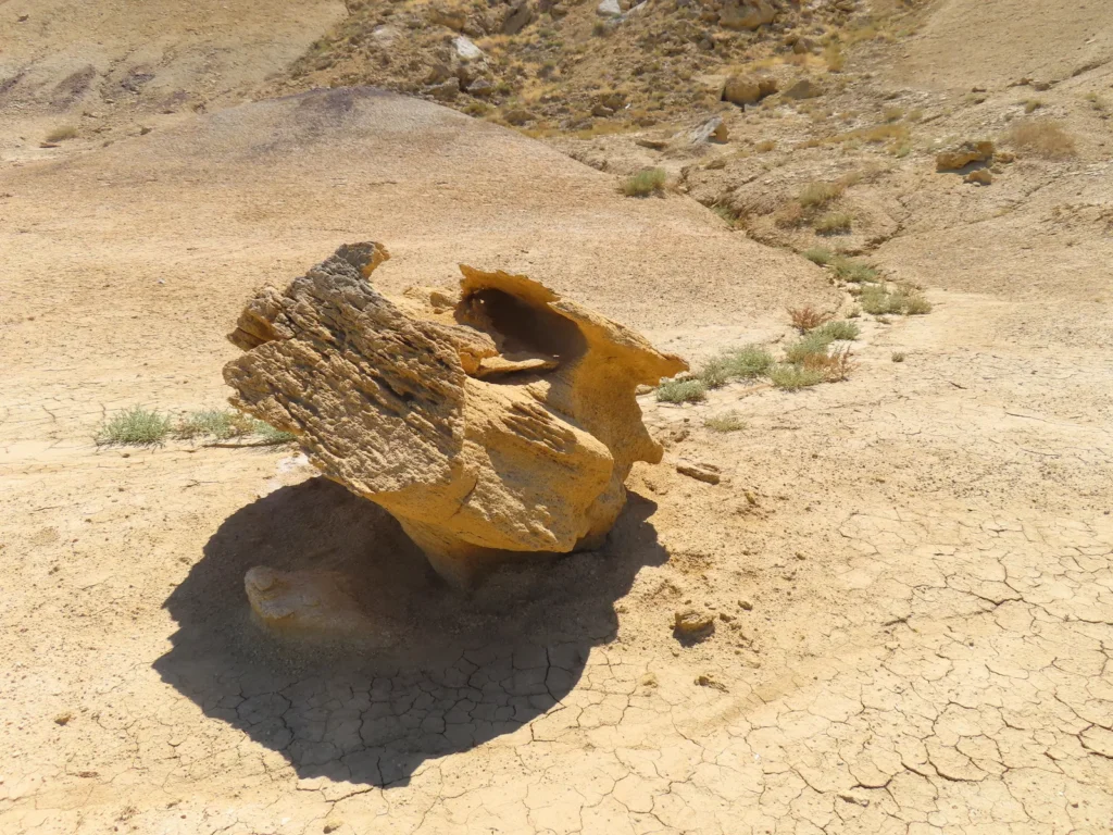
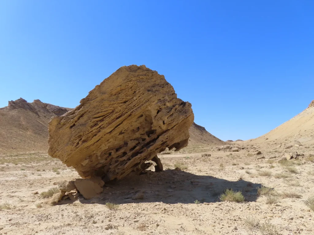
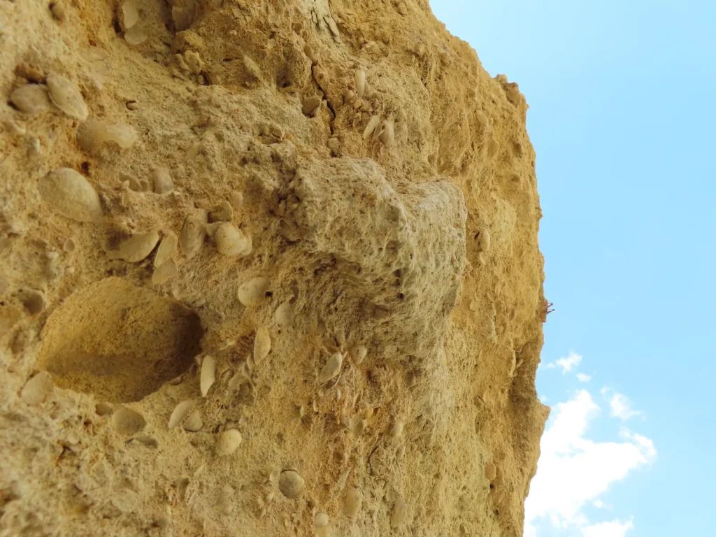
Waiting at my afternoon-shelter: less comfortable, but shade-providing and being close to the installation, I spent the hottest hours of the day under this crumbling boulder. Everything reminds the fact, that this place was a seabed a few million years ago.
Hopefully you don’t bite. I’m not sure.
For some reason I spontaneously named this place “the cave of Japheth”, most likely as an intuitive tie with the Dead-Sea scrolls, therefore ancient biblical figures
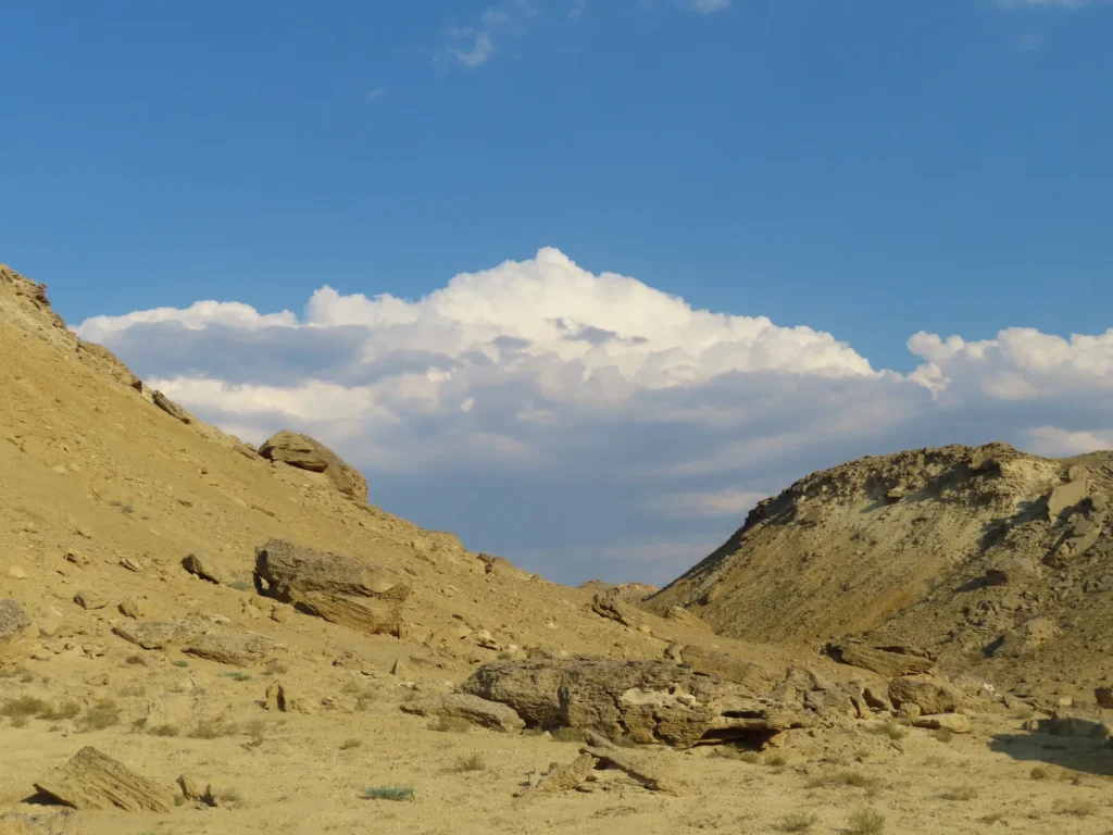
Cumulonimbus calvus above the Ustyurt Plateau
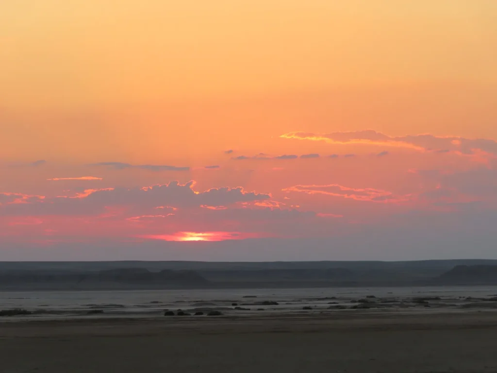
Sunset, still hot: even in the evening the temperature remained above the human body temperature and the water in the plastic bottles became not just warmish, but unpleasantly warm
Sunrise the next morning: While at home there are exceptions, during outdoor camping I am always an early bird, regardless the season. And in the summer there is a very practical reason too: avoiding the effort during the hottest period, completing the bigger chunk of the route in the cooler morning hours.
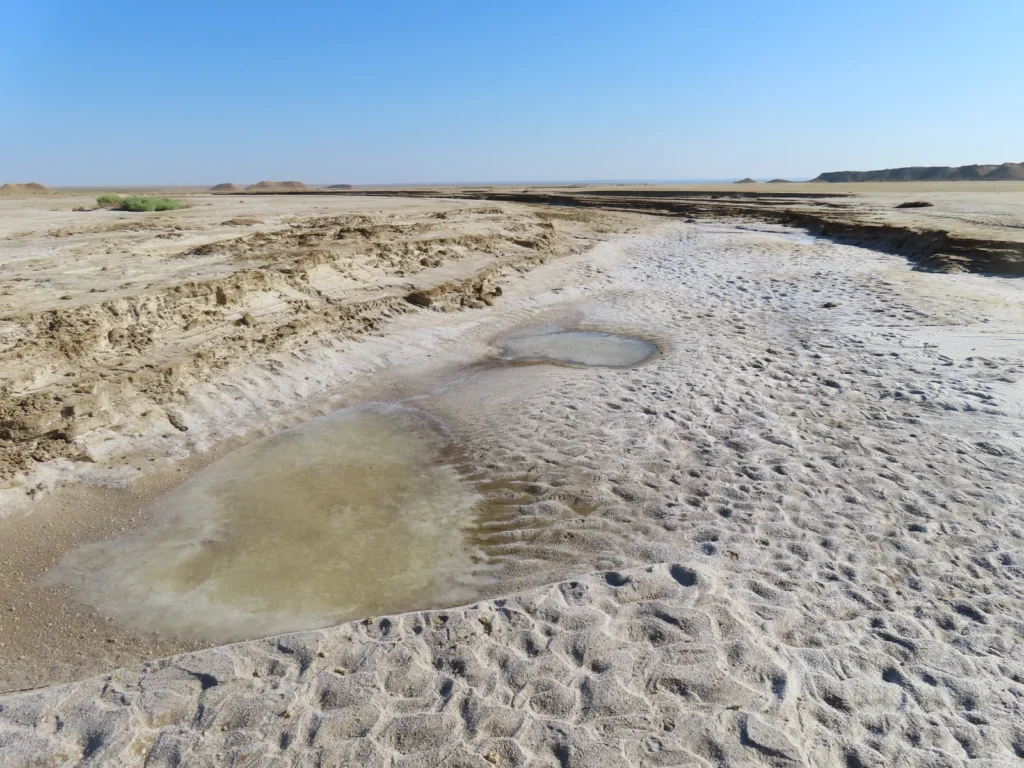
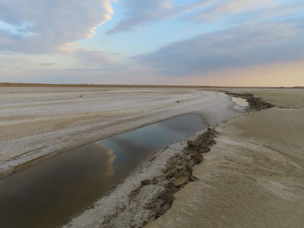
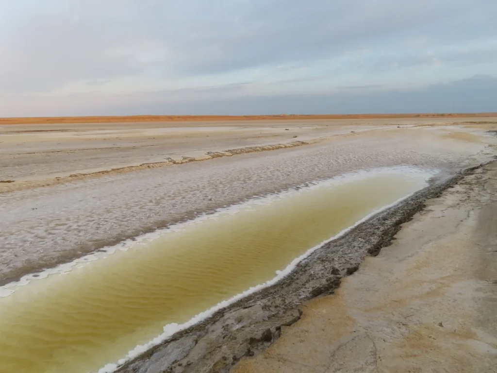
Crossing the solonchak: there are a few isolated brine ponds, left-overs from the wetter period, when the stream was alive
Looking back towards the Ustyurt: today is cloudier, at least for now
The true owners of this land
Of course in the village too. But there is another, more contemporary ruler here, the “akim” of Sarga, meaning mayor, or local chieftain if you want. I met him after being followed already from the railway by suspicious locals after returning and politely asked to explain what exactly am I doing here. My weak russian was of some help, but didn’t convince him, thus we went to the administrative building for a more thorough control procedure. Staying outside in the shade of the walls two police officers came, asking typical questions, searching my small shoulder-bag, look over the pics on the camera. No aggression, quite respectful. They asked if I have a metal detector. Meanwhile, the bigger luggage stayed inside the car of the akim and interestingly it wasn’t checked at all. After finishing their job they gave me a lift to Beyneu. Seems like everything is fine.
Next day I visited the museum of the village-town
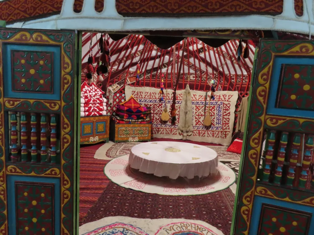
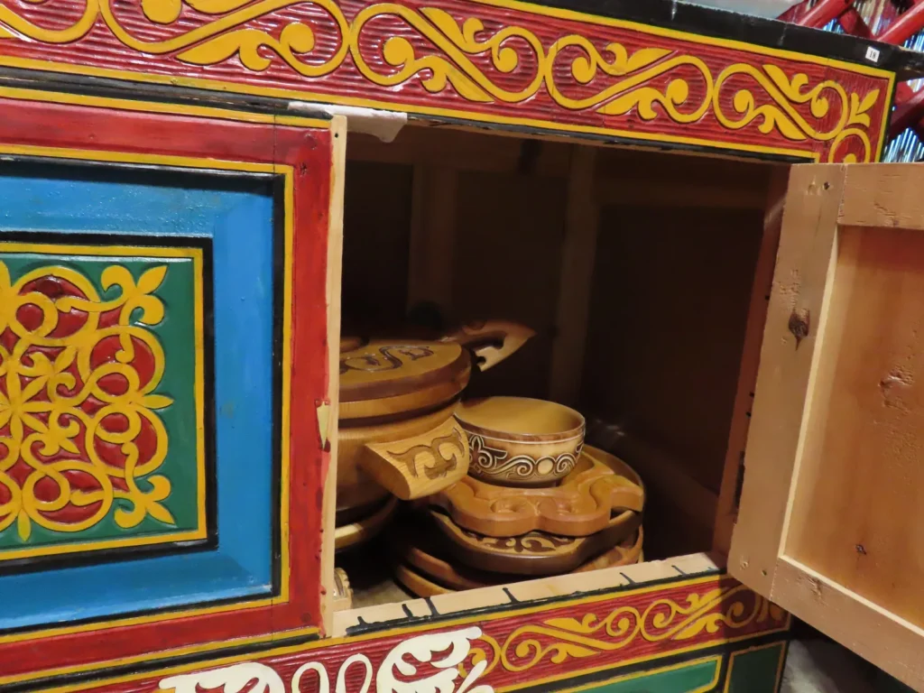
Reminds me of Mongolia, there is even some Hungarian motif-similarity
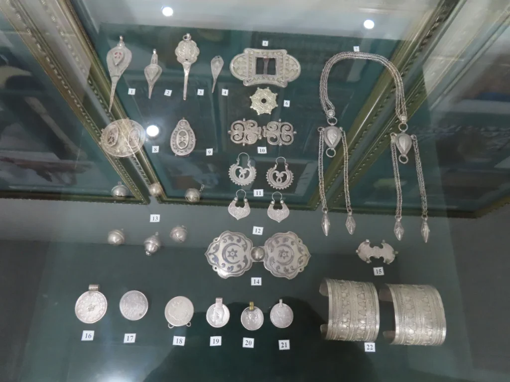
Both practical and decorative silver objects
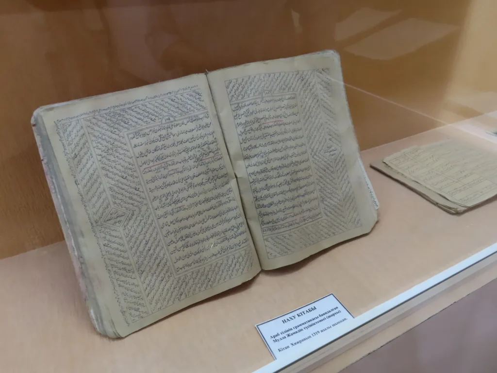
Old religious books…
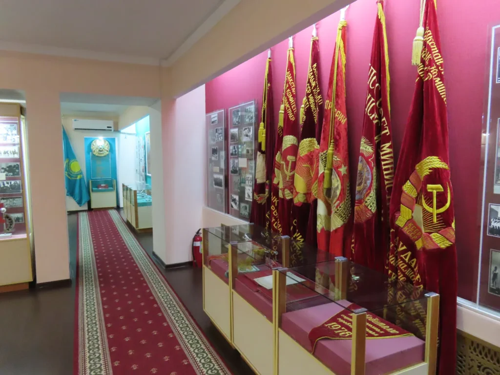
…and of course a little good-old communism
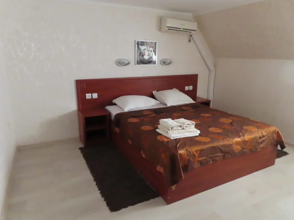
My room in Arna hotel: As it was less crowded than before, I managed to move here. Surprisingly, while cheaper than the other accommodation (7000 vs 10000), the conditions are way better: spacious room, big and very comfortable bed, functional shower with hot water, even more quiet. A jackpot for a tired dust-covered traveler.
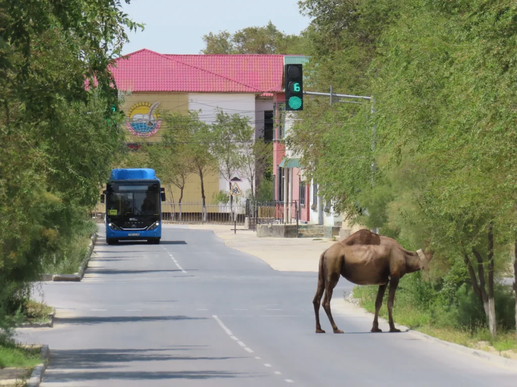
Daily life on Beyneu’s streets
Roaming the sleepy-pallid village: the following day started more cloudy
I visited the “central mosque”, which is not that central to can be intuitively found. Outside the curious overseer nobody was there. We chatted a little in Russian, touching on the Kazakh-Hungarian historical link beside others, which can be summarized in the word “kipchak”.
Later during the day the clouds became more scattered and the strong summer sun hit the desert settlement again
The last field-trip started: must be the same shepherd I saw 4 days earlier
At the cultic site: in the morning there were some altocumulus lenticularis clouds
View towards the depression: horses are the other natural land owners
After the earlier local police encounter I had some less optimistic thoughts circling inside my head, to be honest. Thus, it was a great relief observing the tripod standing in its place.
That’s definitely something for 10 AM, it could pass well above 40 degrees again during the afternoon
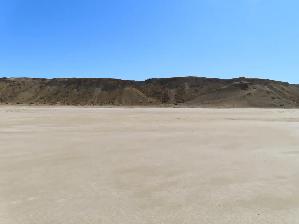
Being prepared and with enough experience from the previous two excursions, I decided to walk a little farther from the camp. This kind of natural construction is quite common on the surface of the salt flat, not sure regarding its origin.
Something between takyr (dried, cracked clay) and solonchak (saltmarsh). I am heading towards the center of the flatland.
Noon is close, the sun punishing
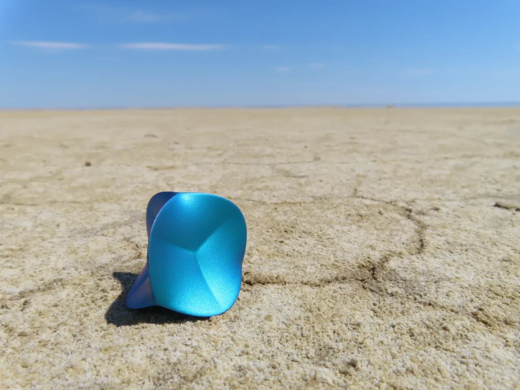
The Zobject at -62 meters below the sea level
While practically there is no elevation change at all, being already on the bottom, the very center is still 7 km’s away. Should be enough, I will return from here
Barely anything lives here
On the return to the installation
As I thought, already passed above 40 degrees. Time to hide and rest in the shade, the day will be long.
While until now the sunshine was uninterrupted, in the early afternoon convective clouds coming from the north rapidly covered the sky. Between 2-5 PM it was mostly overcast, with only very brief sun-windows. Despite this the temperatures remained surprisingly elevated and constant, never dropping below 40 degrees.
Gotcha: shortly before 6 PM, a few minutes of direct radiation between the clouds was enough to reach 42 centigrade, the highest value I directly measured during this expedition
Some companion
Yes, those are raindrops. Just a few, but how heavenly they felt while laying on the ground and passively collecting them like manna.
The confirmation from above
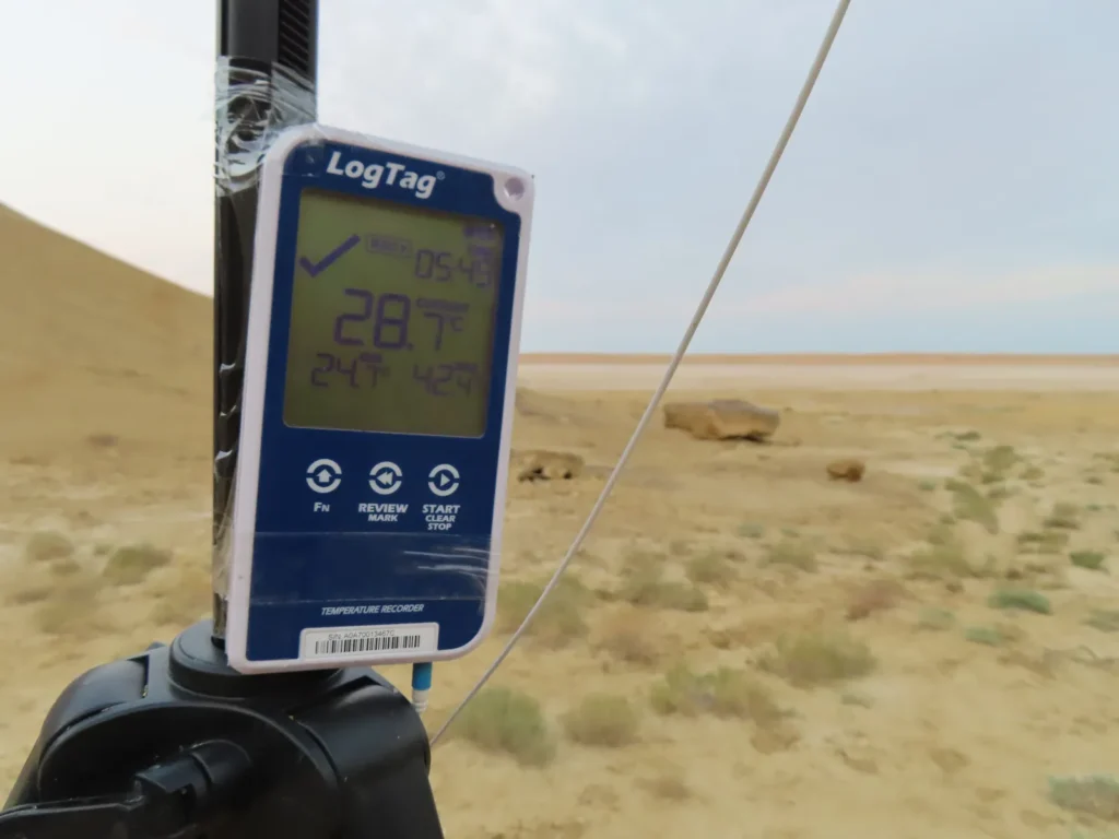
The next morning: the last value on the screen, the research is over
Crossing the saltmarsh
Then the golden arid steppe, when…
…a car showed up (likely related to animal herding) and the old man offered to give me a ride. Why not?
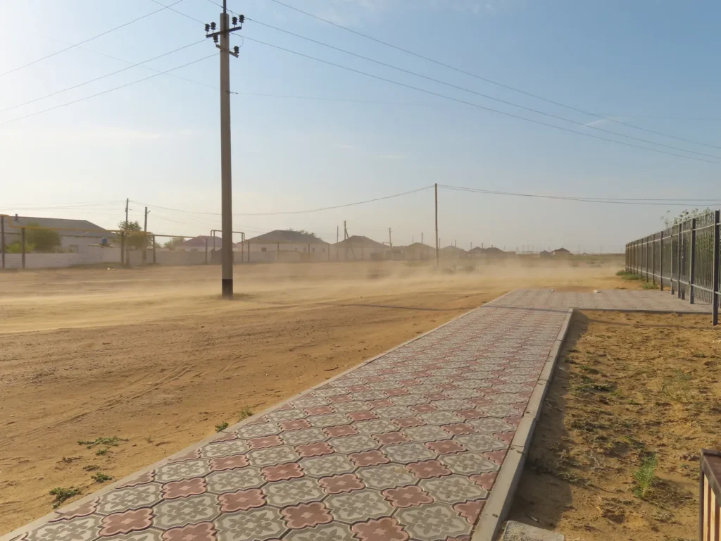
a milder morning dust-storm in Sarga
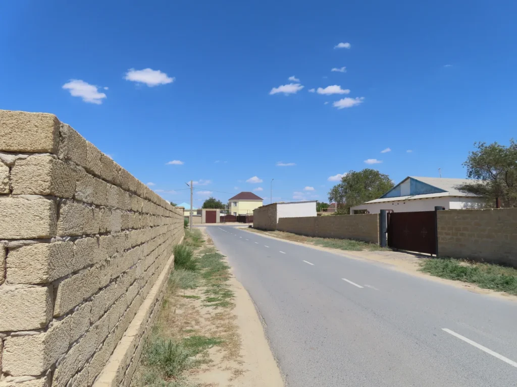
Back to Beyneu: All these building blocks are likely the very same material as the boulders in the endorheic basin, cemented sea-shell fragments. This sedimentary rock is not only sufficiently strong but also has good insulation properties because of the many small air bubbles between the scale-like layers.
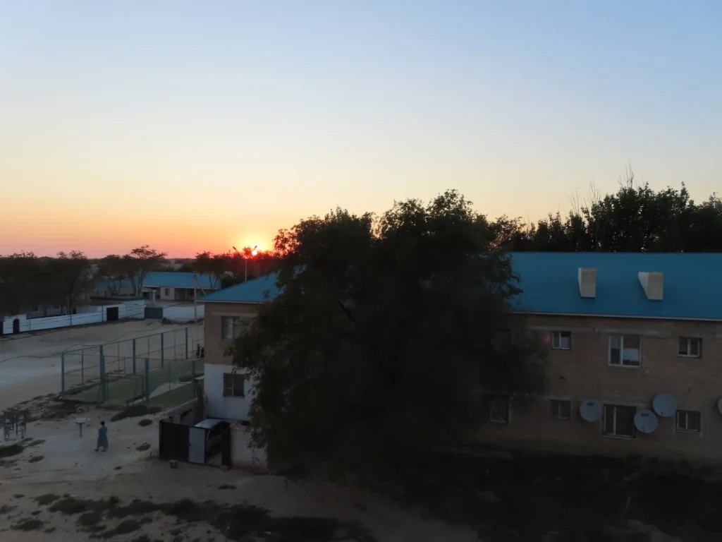
Last evening in the desert town: tomorrow I will travel by train to Aktau
Relaxing on the Caspian coast: I will not say that the Uzbek train was impeccable regarding the internal atmosphere, but given the fact we traveled during the day in peak-heat with over 40 degree outside temperature, can’t consider it bad either. An entire coupe was solely mine, the 7 hours passed relatively fast.
At the main beach of Aktau: well, is this even the same sea I swam in 2 weeks earlier?
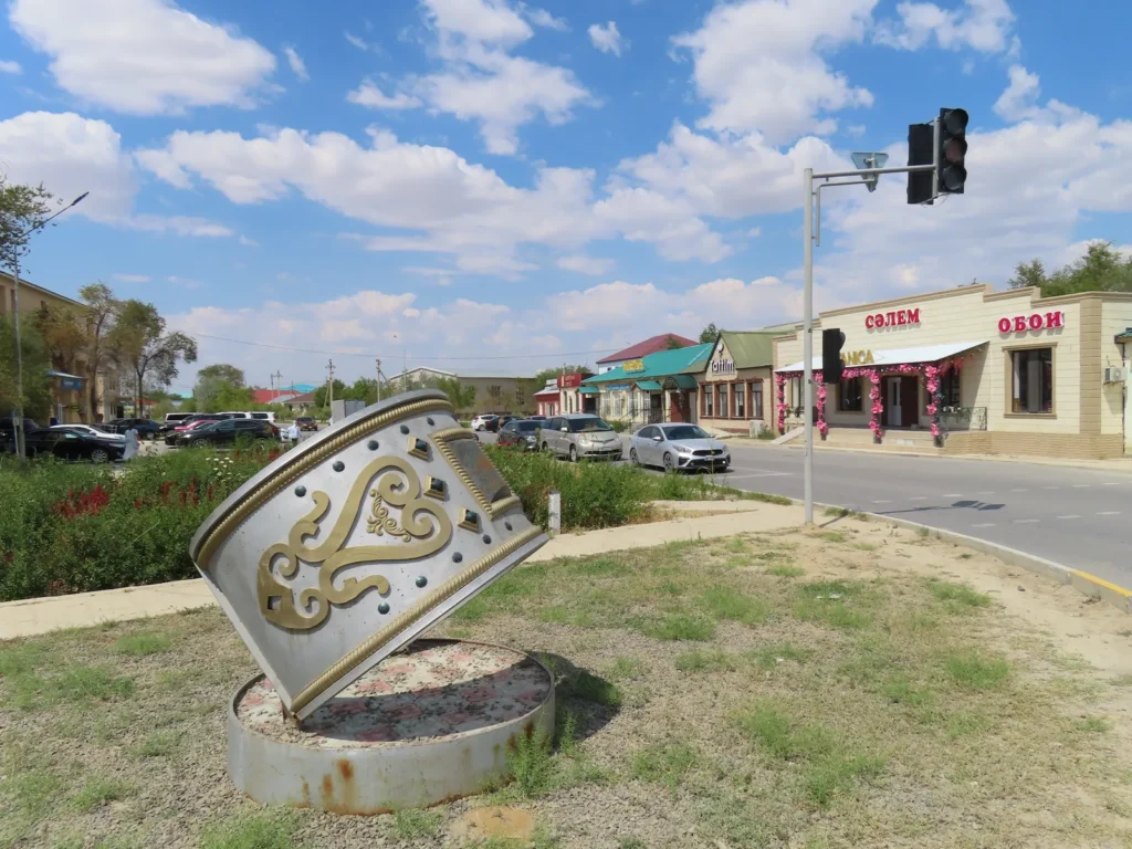
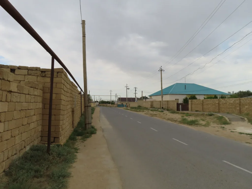
Typical street view in Aktau: the latter days of the Kazakh journey I spent in the city, just wandering around and enjoying the last bottles of kymyz
We started here, we will finish it here

to be continued…
Ashyktaypak Depression: closer to the Arctic, hotter than the Tropics (3/3)

Interpretation of the logger’s graph (using LogTag Analyzer 3 software)

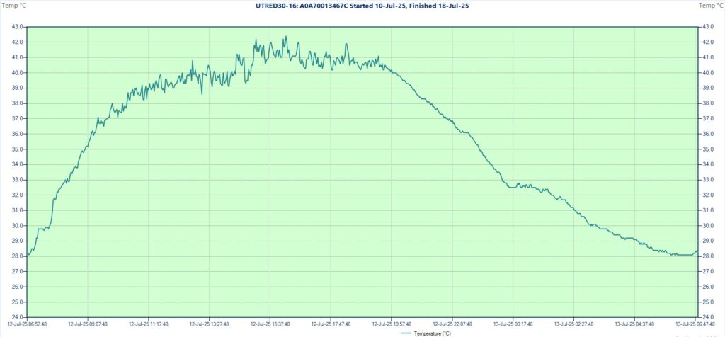
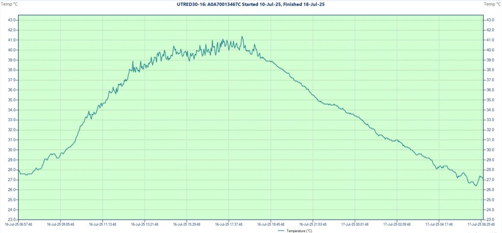
The temperature curve of the 8 days/ 8 nights research period. The device was registering a value every 2 minutes.

First day and night (July 10-11th)

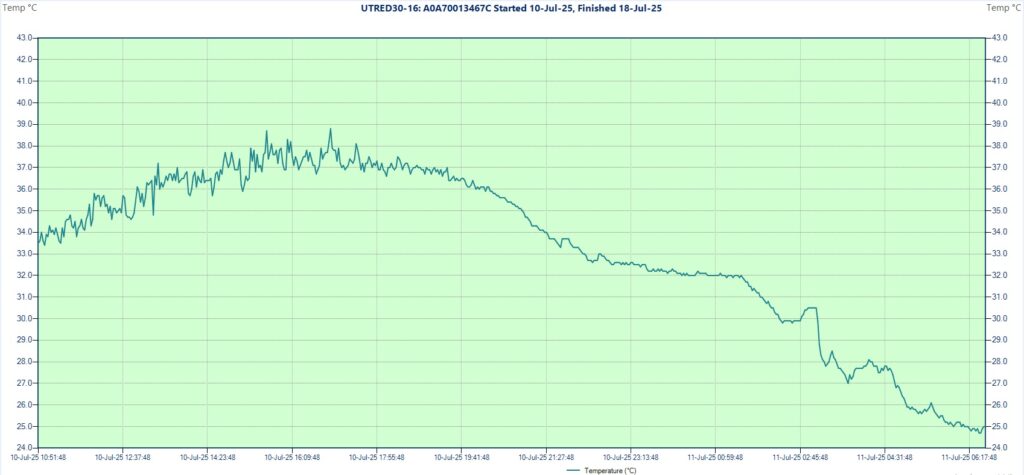
I installed the measuring equipment in the depression in the late morning during clear and generally calm conditions. The logger was started at 10:46 AM and showed 33.4 degrees Celsius as the first reading. The maximum temperature was reached at 4:57 PM when climbed to 38.8 degrees, with an earlier 38.7 registered at 3:37 PM.

Regarding the general trend the curve can be considered normal, but on the smaller scale the fluctuations are quite noticeable (often 1-1.5 degrees in 2 minutes). This was most likely caused by wind which carried the hotter air from the surface of the nearby steeper slopes, which was actually planned in advance (as mentioned in part 1) to give a little topographical boost to the heating potential.

The temperature curve of the first day and the following night

The intensity of the short interval fluctuations dropped significantly in the evening and after 8:15 PM the general descent became somewhat steeper (less wind). Still the temperature remained above 32 degrees until 1:30 AM, then dropping in steps down to 24.7 degrees around 6:30 AM. This will remain the lowest temperature of the entire research. No clouds at all until now.

Second day and night (July 11-12th)

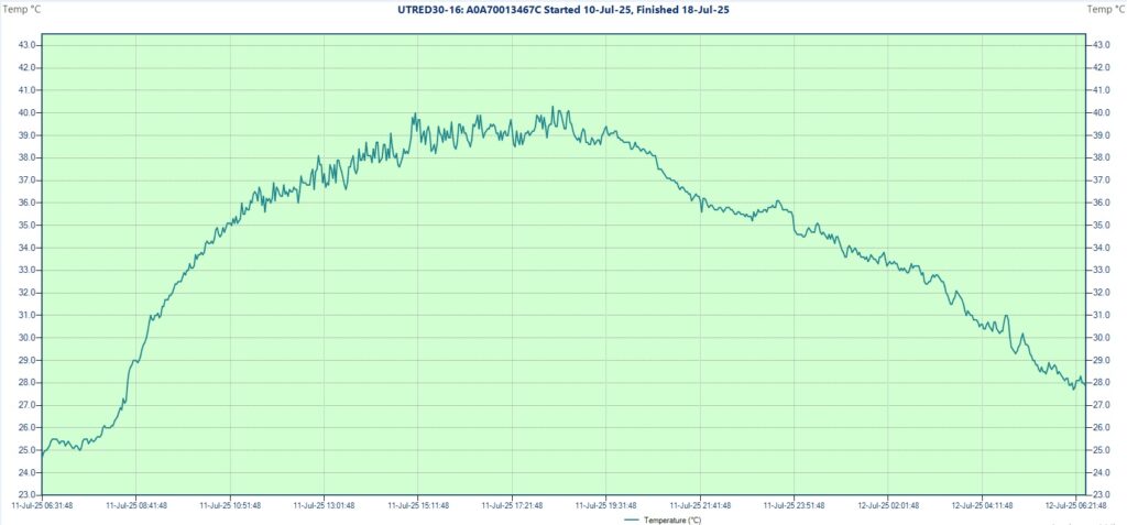
I returned to Beyneu already in the late morning and spent the day in the settlement. During the early afternoon hours some clouds appeared on the sky (mild convection) but generally remained sunny. The curve of the graph presents the same pattern, normal on the big scale with many small seiches.

The temperature curve of the second day and the following night

It was hotter than yesterday, the 40 degree mark was first touched at 3:07 PM, than peaked with 40.3 degrees at 6:17 PM. Slightly windy night with a warmer 27.7 degrees minimum recorded at 6:17 AM.

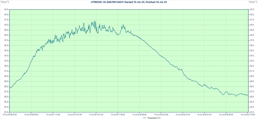
Third day and night (July 12-13th)

In the morning hours I visited Old Beyneu cemetery complex where the sky was clear. After 11 AM convective clouds started to develop in the east, thus the afternoon became partly cloudy. Still the temperature raised following the classic trend, reaching 40 degrees already around 12:30 PM. At 3:07 PM passed above 42 degrees, setting the daily max with 42.4 degrees Celsius at 4:11 PM. This will remain the highest temperature of the entire research.

I personally measured 40-41 degrees in Beyneu’s center in the shade of the “tripod monument” during the afternoon using the Greisinger digital precision thermometer.

The temperature curve of the third day and the following night

The sharper and smoother drop started after 7:43 PM from 40.5 degrees, dropping to 32.5 shortly after midnight. With small fluctuations, the minimum of 28.1 degrees was reached at 6:11 AM and this value was maintained for full 30 minutes.

Fourth day and night (July 13-14th)

I returned to the installation during the morning observing clear conditions again. In the distance some less developed convective clouds appeared around 11 AM, but the full sunshine lasted until 1-1:30 PM. The maximum of the day was 41.3 degrees and was reached at 3:29 PM, while the sky became partly cloudy. Towards the evening I observed more developed convection in the east (cumulonimbus calvus).

The temperature curve of the fourth day and the following night

As expected, the night was warm again. The more constant drop started at 7:15 PM from 39.3 degrees and reached 26.6 degrees at 6:11 AM with only slight disturbances in the second part of the night. The sky was more clear than cloudy during the dark hours.

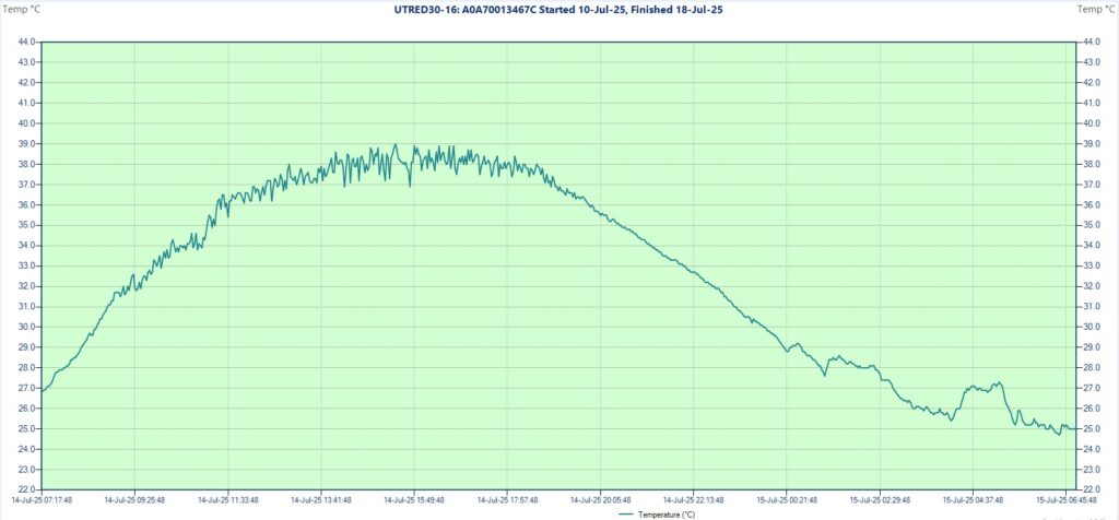
Fifth day and night (July 14-15th)

I returned to Sarga, then Beyneu in the morning, first under a more cloudy then sunnier sky. Still hot, but somewhat less extreme with a normal temperature curve, reaching 39.0 degrees as daily max at 3:23 PM, showing the characteristic seiches related to the uneven heating as usual. The evident drop started a little earlier, around 7 PM this time.

The temperature curve of the fifth day and the following night

The second part of the night was more unstable than the first when the descent looks clean. In the morning at 6:37 AM the minimum of 24.7 degrees Celsius was reached, equalizing the former lowest temp set in the first night.

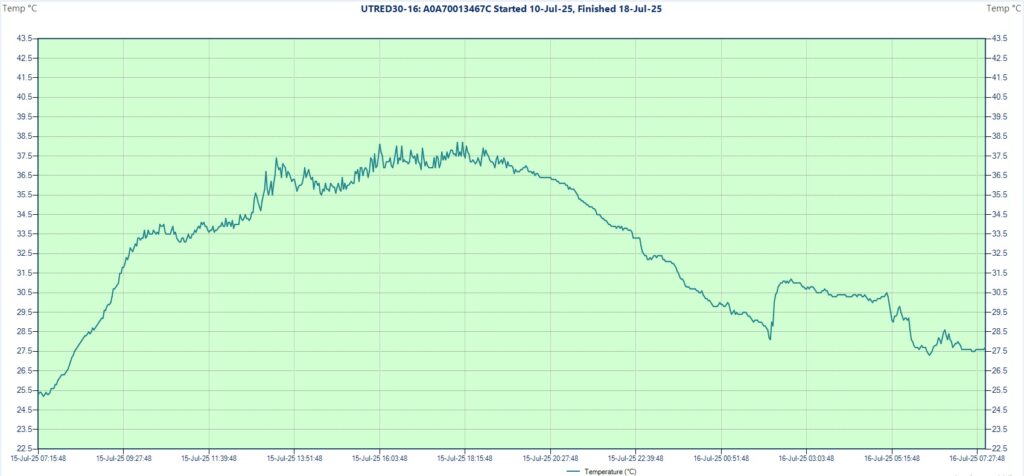
Sixth day and night (July 15-16th)

I spent this day in Beyneu observing generally sunny weather with some higher clouds (cirrus) in the morning. This was the mildest day, but still passed well above the human body temperature, reaching 38.2 degrees Celsius shortly after 6 PM, showing some less characteristic bigger scale fluctuations in the first part of the afternoon, likely linked to convection.

The temperature curve of the sixth day and the following night

Before 8 PM the typical drop started but was abruptly stopped after 2 AM when it climbed back from 28 degrees to 31 degrees in less than 30 minutes. Maybe wind intensification, maybe passing of a cumulonimbus. Towards the morning it dropped back again, reaching the minimum of 27.3 degrees at 6:13 AM.

Seventh day and night (July 16-17th)

Still in Beyneu, where the morning was cloudy, while later the weather became more sunny and hotter than yesterday. Except the seiches the curve looks quite normal, reaching first time the 40 degree mark at 2:21 PM and setting the daily max of 41.4 degrees in the latter part of the afternoon at 6:17 PM.

The temperature curve of the seventh day and the following night

I measured around 40 degrees in Beyneu’s center in the shade using the digital precision thermometer. The diagram shows a pretty clean descent starting around 7:20 PM and this remains generally valid for the entire night. The temp dropped to a 26.4 degree low at 6:09 AM, which can be considered average.

Eighth day and night (July 17-18th)

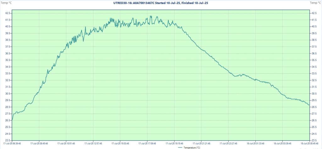
This was the day of the last field-trip. The morning was generally sunny with some altocumulus lenticularis clouds in the beginning. When I reached the equipment, shortly after 10 AM it was already 36 degrees and around noon managed to touch the 40 degree mark, the earliest between all the researched days.

After 1 PM clouds started to arrive, first only thinner cirrus, but a little later also more compact convective ones, stopping the ascent gradient. Still, the temperature remained surprisingly elevated (40-41 degrees) and stable under the seemingly quite thick blanket, which except a few isolated disruptions managed to entirely cover the sky during the mid-afternoon hours. Thus, when a short sun-window appeared later on, it managed to rise to 42.1 degrees Celsius at 5:25 PM, setting the second highest maximum of the research, which was also the highest one I personally experienced.

The temperature curve of the eighth day and the following night

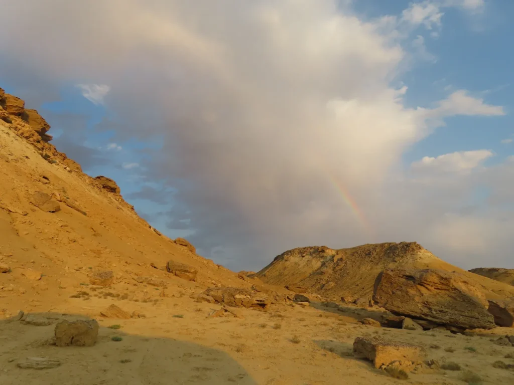
This was the warmest night and while the drop looks relatively undisturbed, at 7 PM it was still above 41 degrees and over 33 degrees past midnight. Around 8 PM there were a few isolated rain drops (passing cumulonimbus) followed by rainbow. I stopped the device at 5:47 AM when the screen showed 28.7 degrees Celsius, likely very close to the hypothetical morning minimum.

The mean temperature of the 8 day research period was 34.2 degrees Celsius, the average maximum 40.4 degrees, while the average minimum 26.8 degrees Celsius. The mean daily amplitude is 14.2 degrees, fluctuating between 12.4 and 15.6 degrees, which can be considered modest for continental desert climate. On five out of eight cases the temp climbed over 40 degrees and twice above 42 degrees, while the minimum only twice dropped below 25 degrees and twice stayed above 28 degrees Celsius.

General conclusions

  • The sky is variable, typically more clear in the morning, while daytime warming often favorizes the formation of convective clouds, more or less
  • The wind is generally weak to moderate, usually intensifying during the afternoon hours
  • Both the average maximums and minimums are very high in comparison with the latitude, thus reflected in an unusually high mean summer temperature. This is caused by both its low elevation (below sea level) and relatively high latitude (shorter nights during summer). The first insulates the ground via a thicker atmosphere, functioning as a blanket even without clouds, while the latter shortens the time frame of the nocturnal radiation, when the heat-loss can manifest
  • Even when cloudy, the temperature remains elevated with surprisingly small real differences between full sunshine and overcast (homogenization factor)
  • The general trend of the temperature curve is quite normal, although the maximums sometimes are reached with a little shift towards the latter part of the afternoon around or after 6 PM due to “sunshine windows” after the previous convection period. The evening cooling starts late and is slow, often tempered by wind
  • During the day there are many small, sharp rises and drops in the temperature (seiches), giving the characteristic saw aspect to the graph. The typically 1-1.5 degree small scale fluctuations are likely caused by the wind mixing the air of differently heated nearby surfaces
  • Rain is rare but can happen, usually very scarce and highly localized under more developed convective clouds (cumulonimbus)
  • The air is very dry, this combined with the heat causes that the sweat often evaporates instantly, especially when it’s windier
  • Visibility is generally decent, but not exceptionally good because the presence of light suspensions, sometimes dust devils are forming

Comparing my logger’s results with the official data of the local weather stations and other hot locations situated in the temperate climate zone

After finishing the research I tried to get in contact with Beyneu’s official weather station to obtain the necessary data for a professional comparison. Having no success in the settlement, I planned to solve the issue in Aktau at the regional center. Wrongly assuming that it must be at the airport, I missed the target again, being also unlucky with the weekend period.

After this failure, at home I was glad to realize that Ogimet could access the summer data of the village’s meteorological station, so here we are. My assumptions regarding the possible slight advantage of the chosen location in the depression seem to have been well-founded: the mean difference between the maximum temperatures during the 8 day research period is +0.8 degrees in favor of Ashyktaypak. Except the last day, when Beyneu surprisingly won by a touch, the endorheic basin was always hotter, sometimes with more than 1.5 degrees.

The statistics of Beyneu weather station for July 11-12th (Ogimet)

But even that exception is easily explainable: it was the day when during the mid-afternoon hours the sky was completely overcast in the basin, recording the max in the short sun-window around 5:30 PM. It’s highly likely that Beyneu received more sunshine during the hottest interval (3-5 PM) and recorded its 42.2 degrees earlier, when the sky above the basin (situated 20 km farther) was overcast.

If we calculate the difference without this exception the result is exactly +1 degree, which translates into around half degree because of the elevation and the other half because of the topographic enhancement (U-shaped semi-enclosure with more reflected radiation).

Still, the discrepancy was even bigger between the minimum temperatures, Ashyktaypak being 1.5 degrees warmer on average. This is also not a surprise, as the settlement’s station is certainly located in a more open terrain, providing additional space and potential for the nocturnal radiation.

Comparison between the researched endorheic basin and Beyneu weather station (degrees in Celsius)

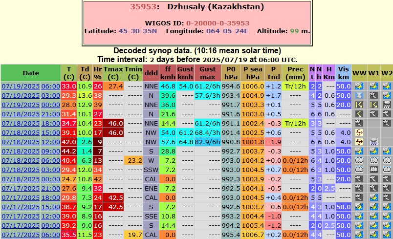
There were a few official stations in Kazakhstan where between 10-17th July the maximum temperature exceeded Beyneu’s 42.2 degrees. According to Ogimet the highest value was 43.7 degrees on 17th recorded in Kaukey settlement, east of the former Aral Sea, which interestingly it’s also situated slightly above the 45 degree latitude. Even Aktau on the Caspian coast went up to 41 degrees on 13th July. While not in the Beyneu area, right in the following afternoon when my research was over, the temperature climbed to 46 degrees in Dzhusaly (not too far from Baikonur), which is also situated a little above 45 N latitude.

Fun fact: In my own country, Romania, in the very day when I was returning home (27th July), the temperatures in the south were close to break the all-time record, rising to 43.4 degrees in Calafat, which is also usually our pole of heat. Situated slightly below 44 degree latitude is even not too far from entering the competition on what my actual research was based on.

The statistics of Dzhusaly weather station on 17-18th July (Ogimet)

Is the Ashyktaypak Depression the hottest place situated closer to the North Pole than to the Equator?

On average, it’s highly likely. That 1 full degree advantage over Beyneu could be decisive regarding any possible competition in other areas too. The closest contenders may be the surroundings of the dried-up Aral Sea, respectively the lower course of the Syr Darya river and the Ebinur Basin (Aibi Hu) in Dzungaria (Western China), all likely approaching or even reaching around 35 degree average July max temperatures.

Honorable mention to the Turpan Depression (-154 meters below the sea level), which while south of the 45 degree latitude (42-43 N) still has a quite northerly setting compared with the extremely hot summers (between 40-42 degree July maxes and extremes up to 50 (!) centigrade), which are well above the ones found in the Beyneu area.

Regarding Lytton (British Columbia/ Canada) or Steele (North Dakota/ USA), locations in North America where the absolute maximum is higher (both exceeded 49 degrees Celsius) than in Beyneu (46.6 degree Celsius), the average summer potential remains significantly lower. The records are very impressive without any doubt, exactly because those kind of extreme events are very rare and need more specific weather pattern synchronization, while their actual 27-30 degree July average maximums would be just average Eastern European values for low elevations around 45-47 degree latitude.